Uphill
369m
Length
6km
Duration
2h30min
Elev gain
369m
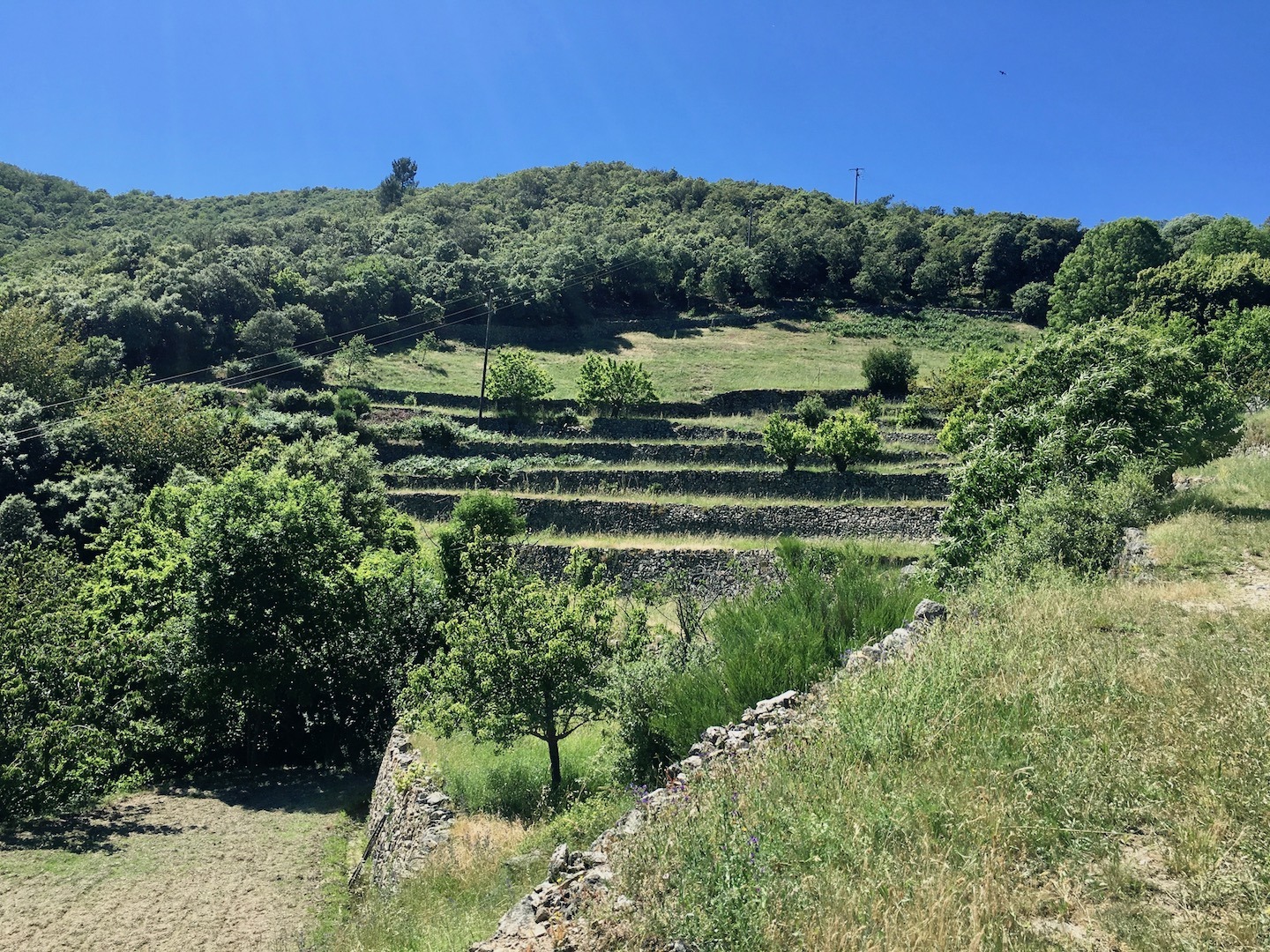
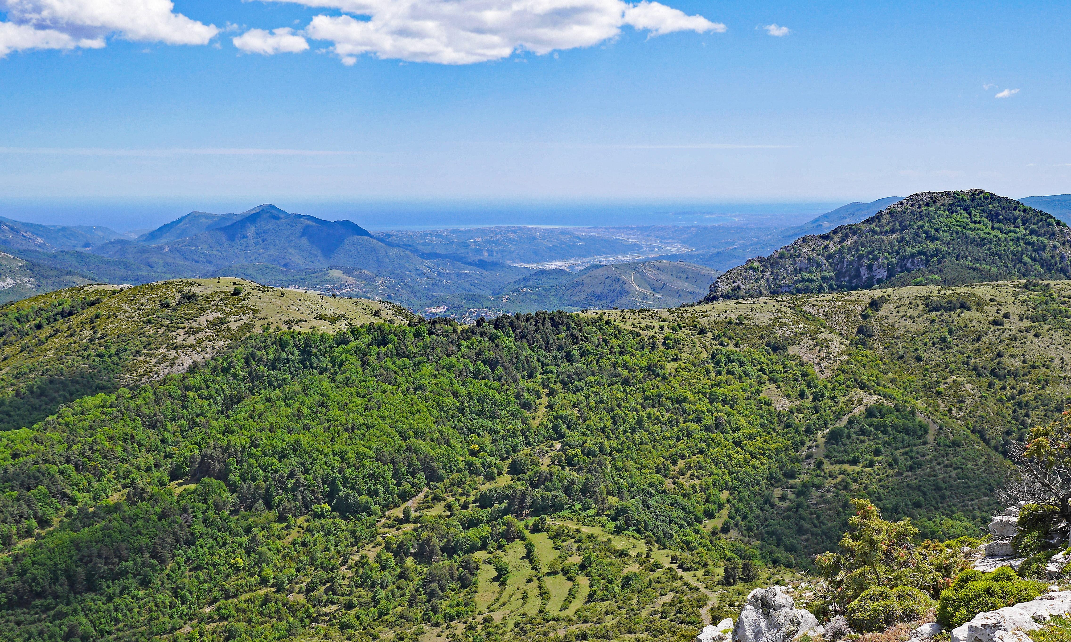
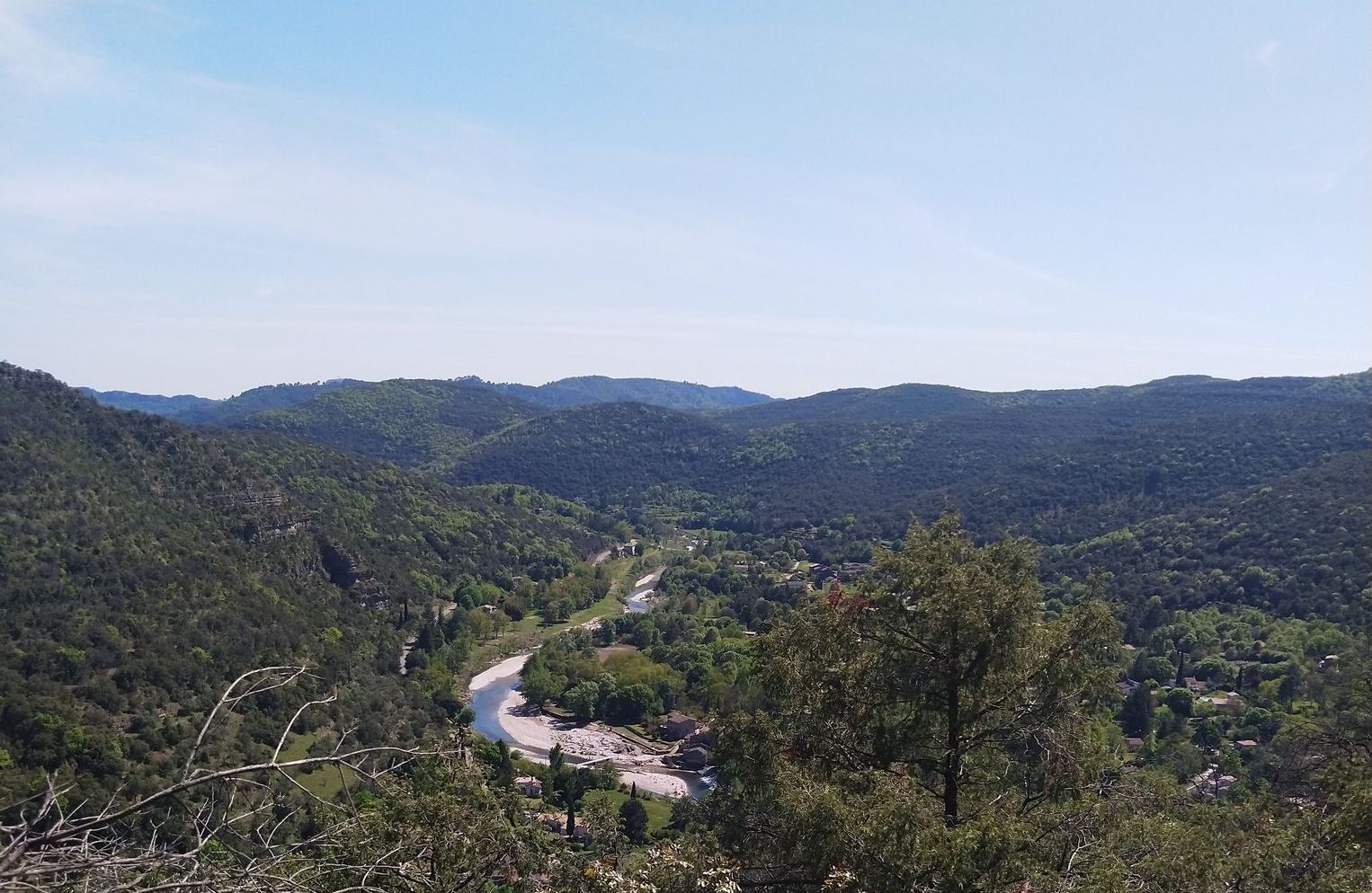
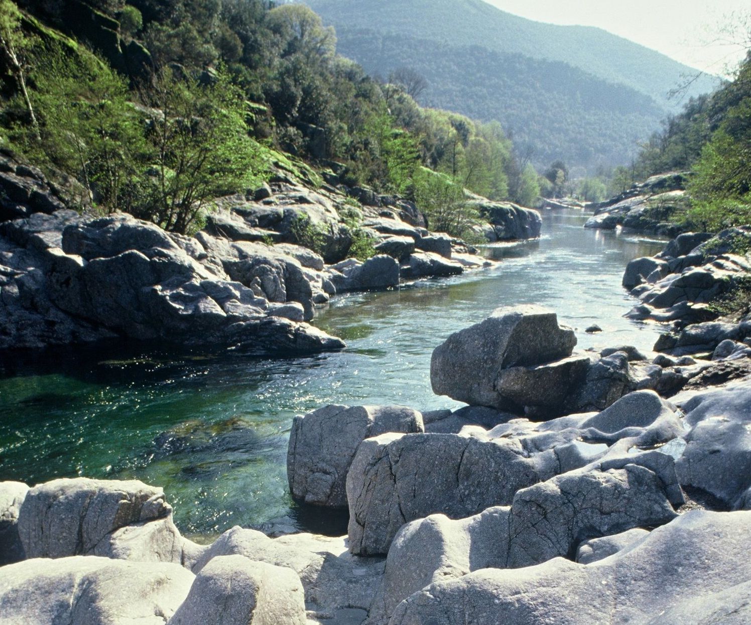
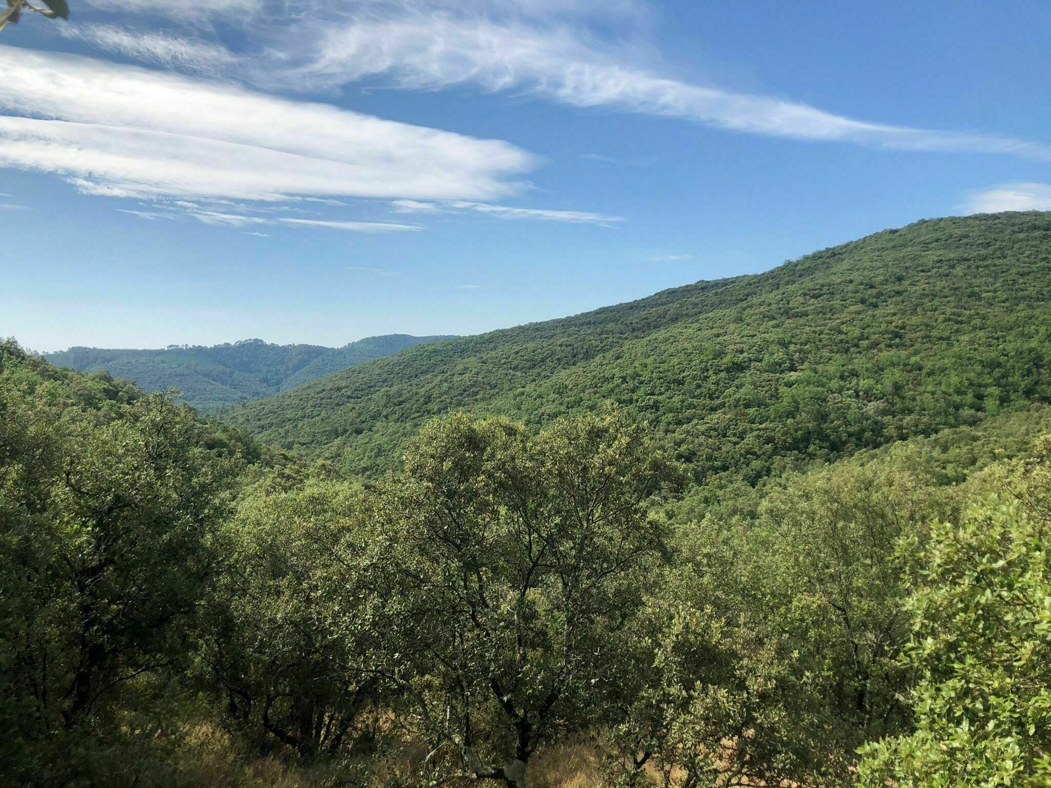
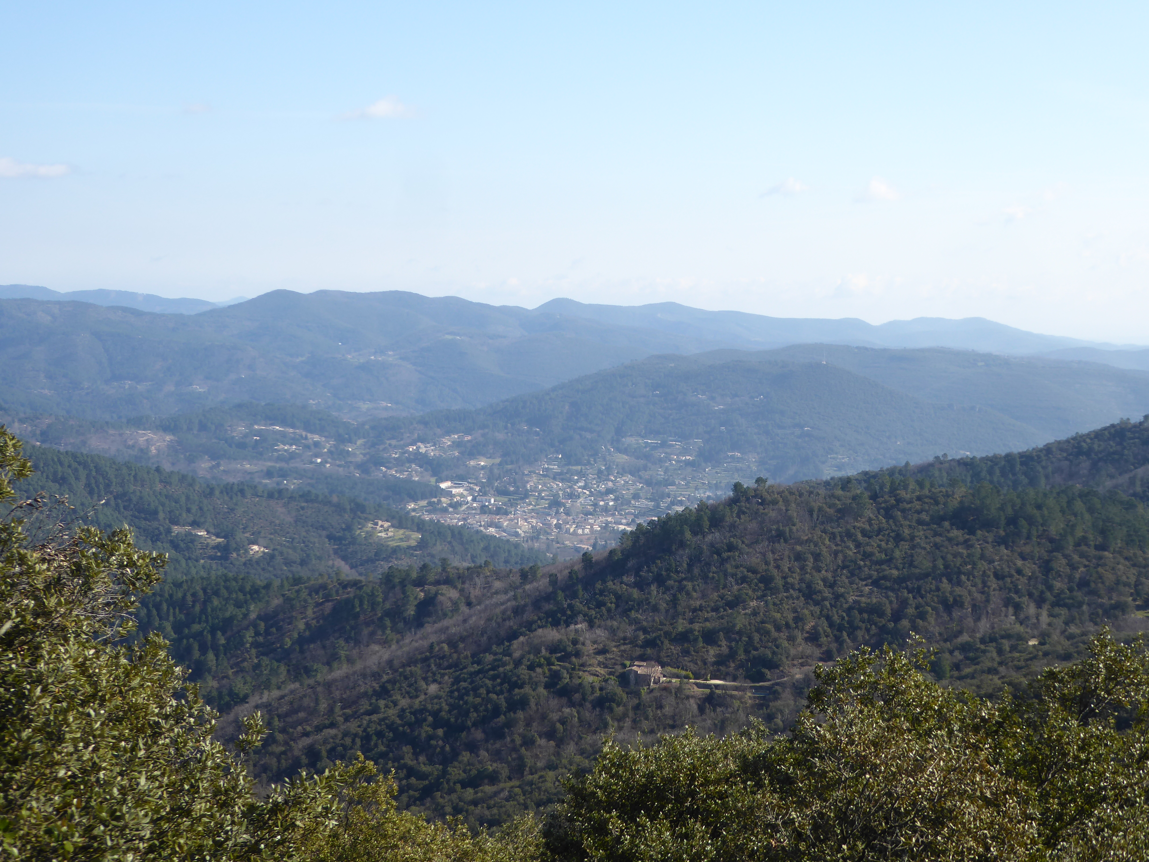
Climb to the summit of Mont Brion, 815 meters above sea level, where the panorama is superb. The trail, mostly in an undergrowth of holm oaks and chestnut trees, is steep and rocky. The viewpoints over the Gardon valley are as numerous as they are beautiful.

Already more than 200,000 users!
Uphill
369m
Highest point
806m
Downhill
369m
Lowest point
504m
Route type
Loop
Download the map on your smartphone to save battery and rest assured to always keep access to the route, even without signal.
Includes IGN France and Swisstopo.
I indicate whether dogs are allowed or prohibited on this trail
All year
0 ratings
Also enjoy:

Already more than 200,000 users!