Uphill
1256m
Length
14km
Duration
8h30min
Elev gain
1256m
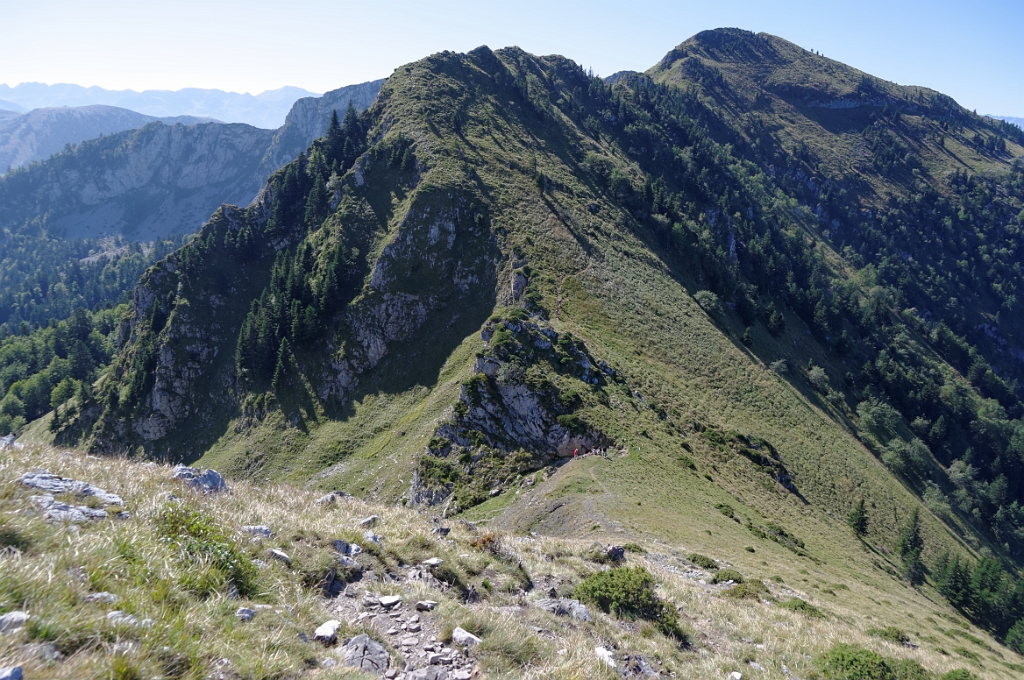
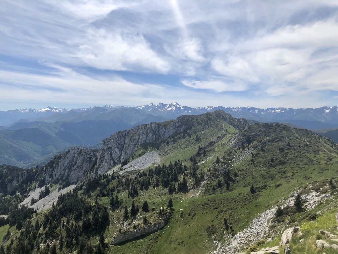
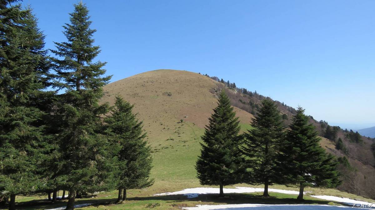
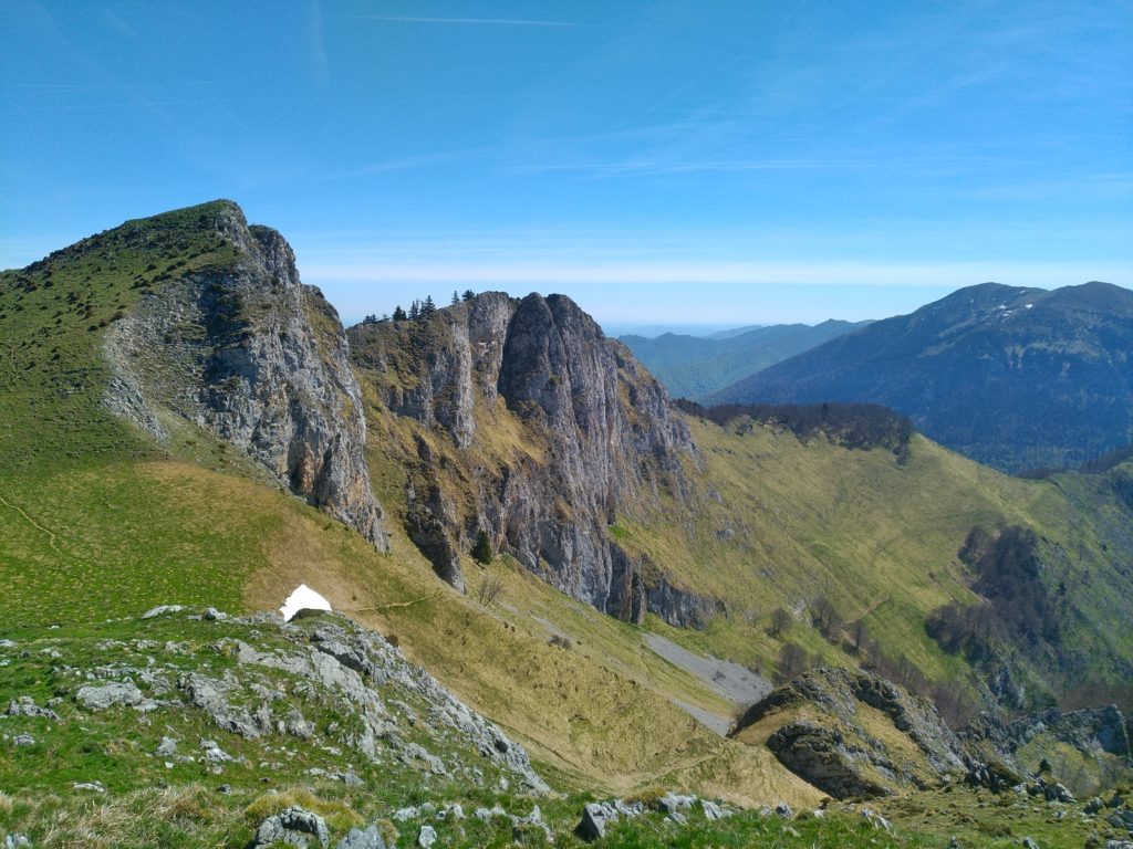
This is a trail leading to the summit of Pic du Gar (1785 m) via Pic Saillant. Nice panorama of the surroundings.
Note that the circuit is mainly in the forest, and can be slippery in rainy weather.

Already more than 200,000 users!
Uphill
1256m
Highest point
1754m
Downhill
1256m
Lowest point
678m
Route type
Loop
Download the map on your smartphone to save battery and rest assured to always keep access to the route, even without signal.
Includes IGN France and Swisstopo.
I indicate whether dogs are allowed or prohibited on this trail
From May to October
0 ratings
Also enjoy:

Already more than 200,000 users!