Uphill
812m
Length
10km
Duration
5h30min
Elev gain
812m
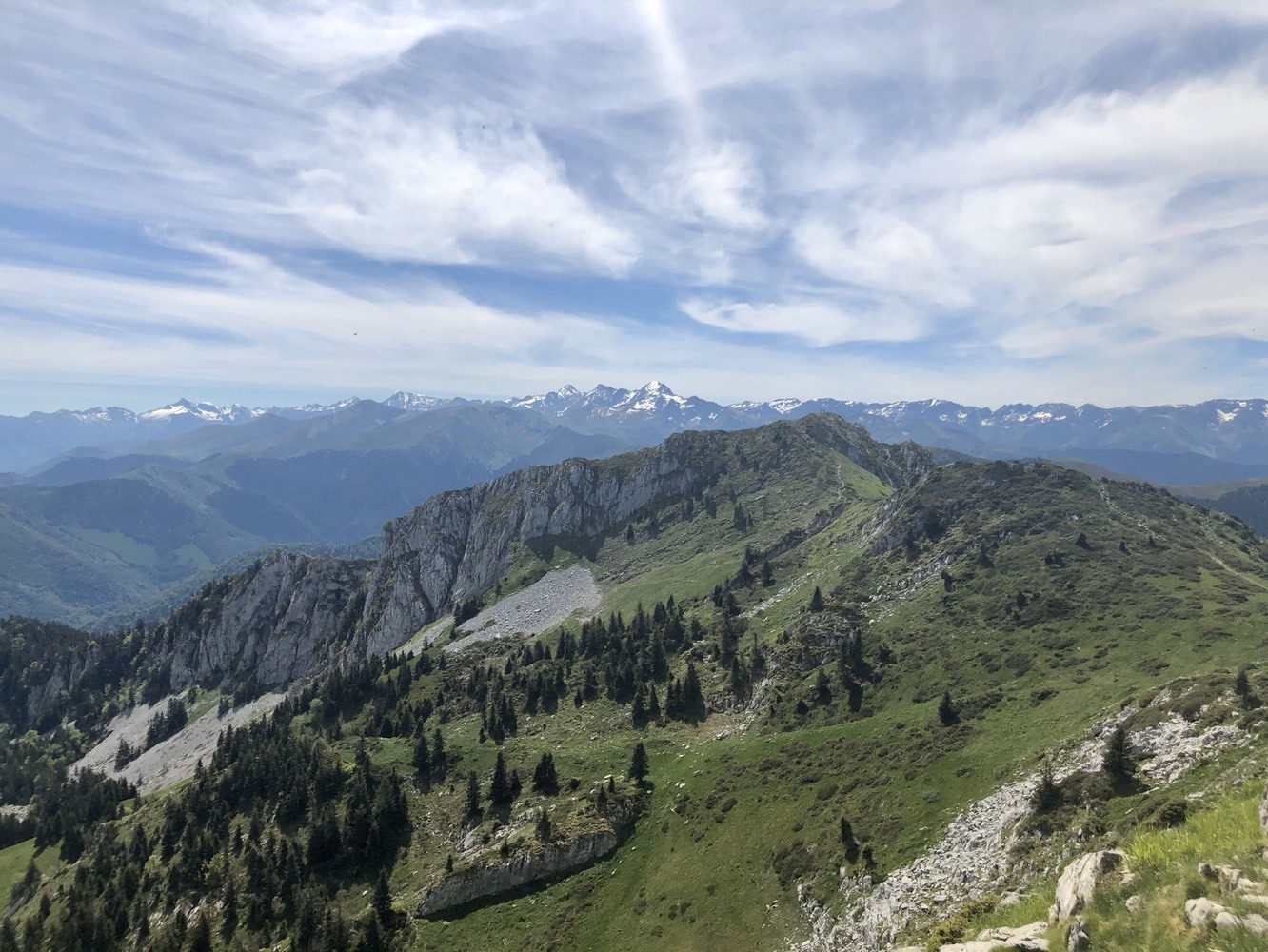
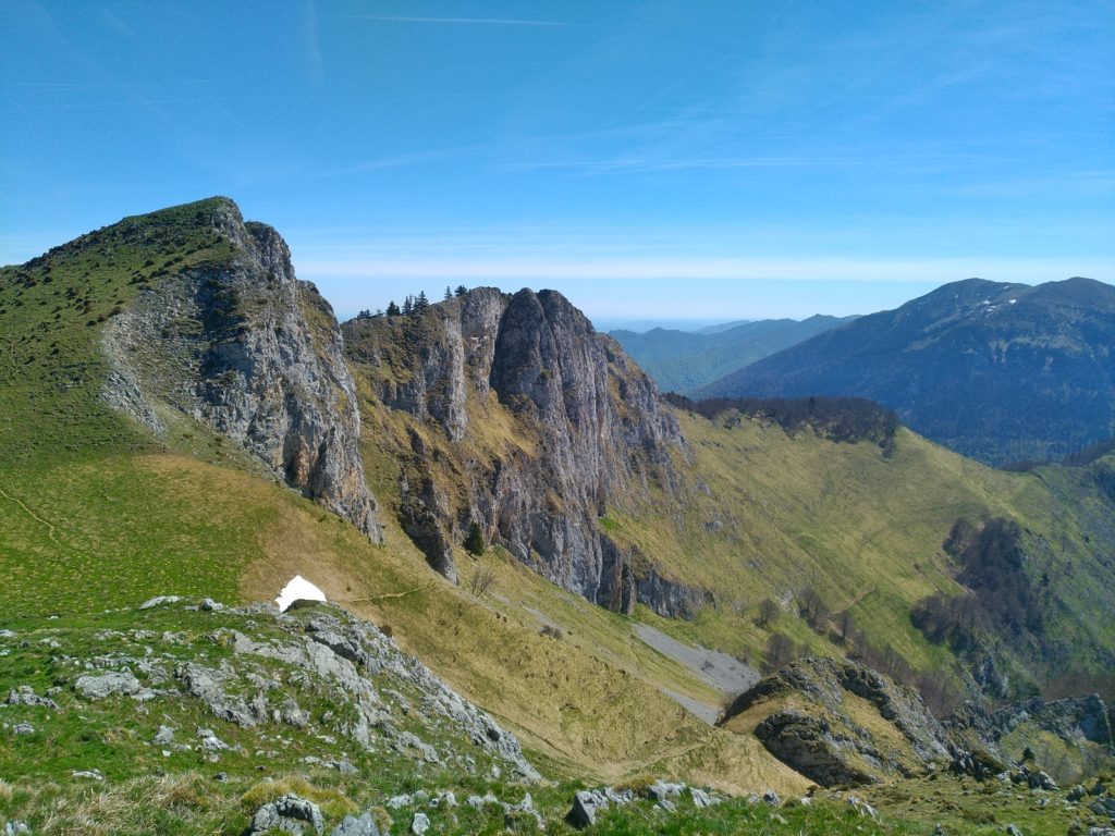
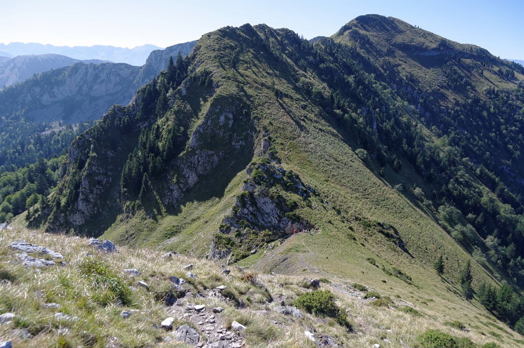
Starting from the Col de Menté, this trail presents an initial ascent to the peak of l'Escalette, then continues over the crests to the peak of Cagire. Nice 360-degree panorama, from the Pyrenees to the plain.

Already more than 200,000 users!
Uphill
812m
Highest point
1897m
Downhill
812m
Lowest point
1285m
Route type
Loop
Download the map on your smartphone to save battery and rest assured to always keep access to the route, even without signal.
Includes IGN France and Swisstopo.
I indicate whether dogs are allowed or prohibited on this trail
From May to October
3 ratings
Ma balade préférée à proximité de Cierp-Gaud ! L’aller est franchement somptueux. Certes ça grimpe dur dès le début, mais on se situe rapidement sur une ligne de crêtes qui offre des paysages sensationnels, que ce soit sur les Pyrénées comme sur la plaine en contrebas. Vertigineux.
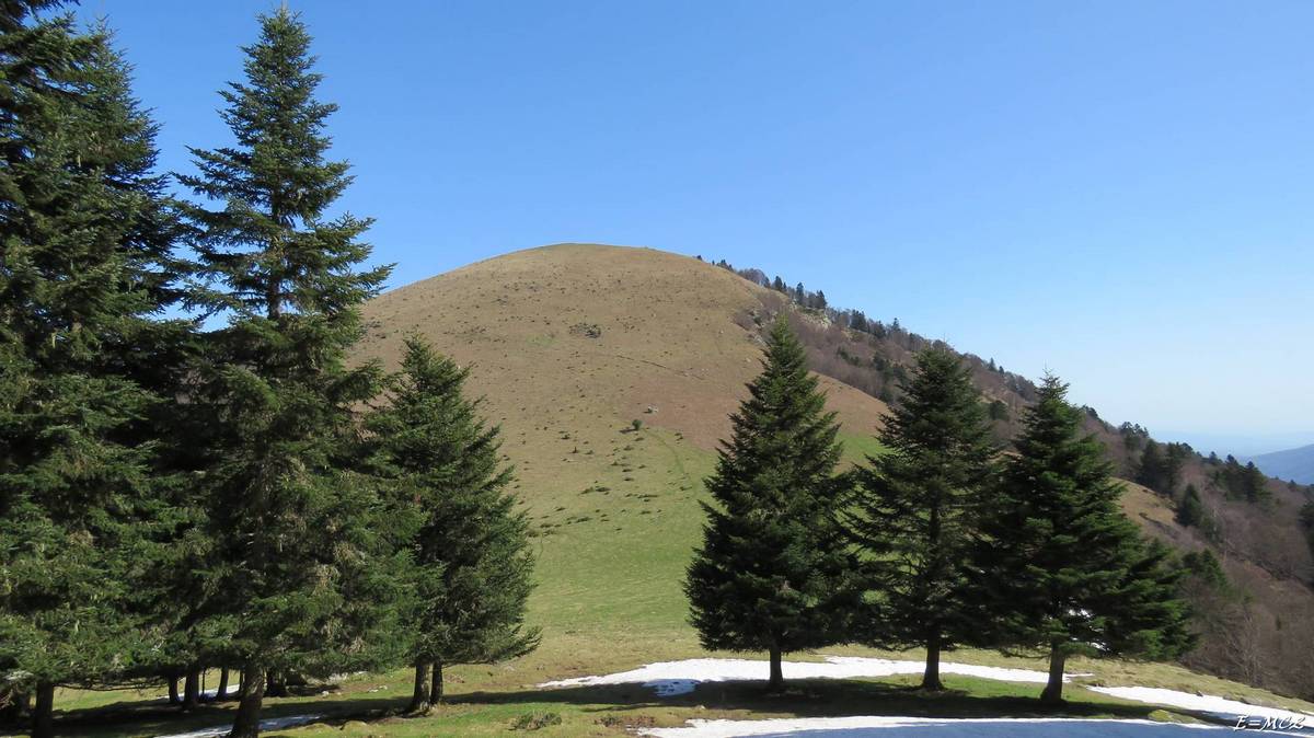
Le retour est un peu plus classique avec une descente en forêt.
Also enjoy:

Already more than 200,000 users!