Uphill
668m
France > Occitanie > Ariège > Ariège Pyrenees Regional Natural Park
Length
9km
Duration
4h30min
Elev gain
668m
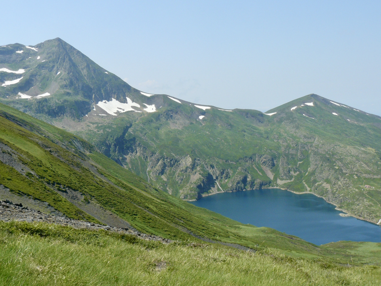
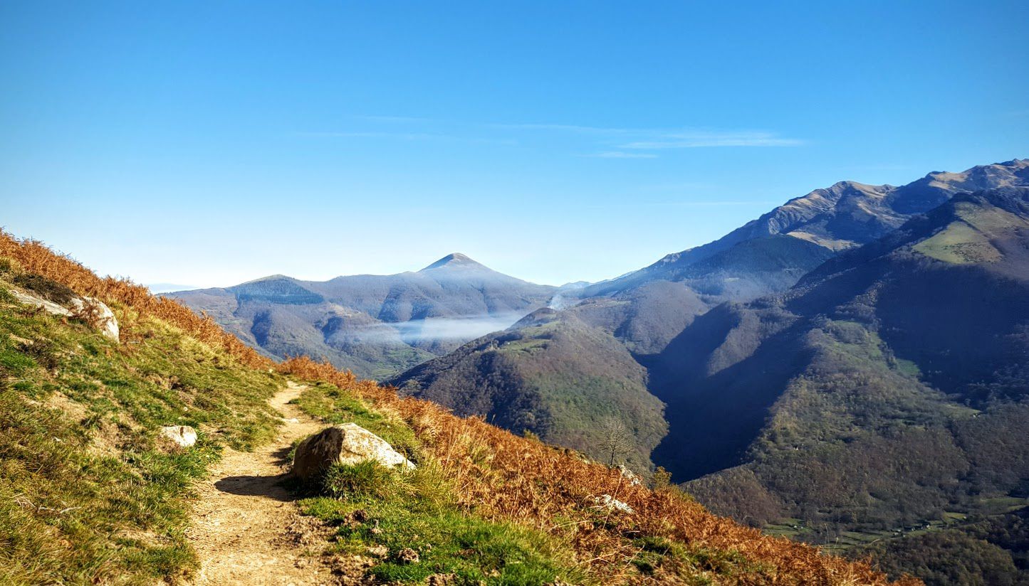
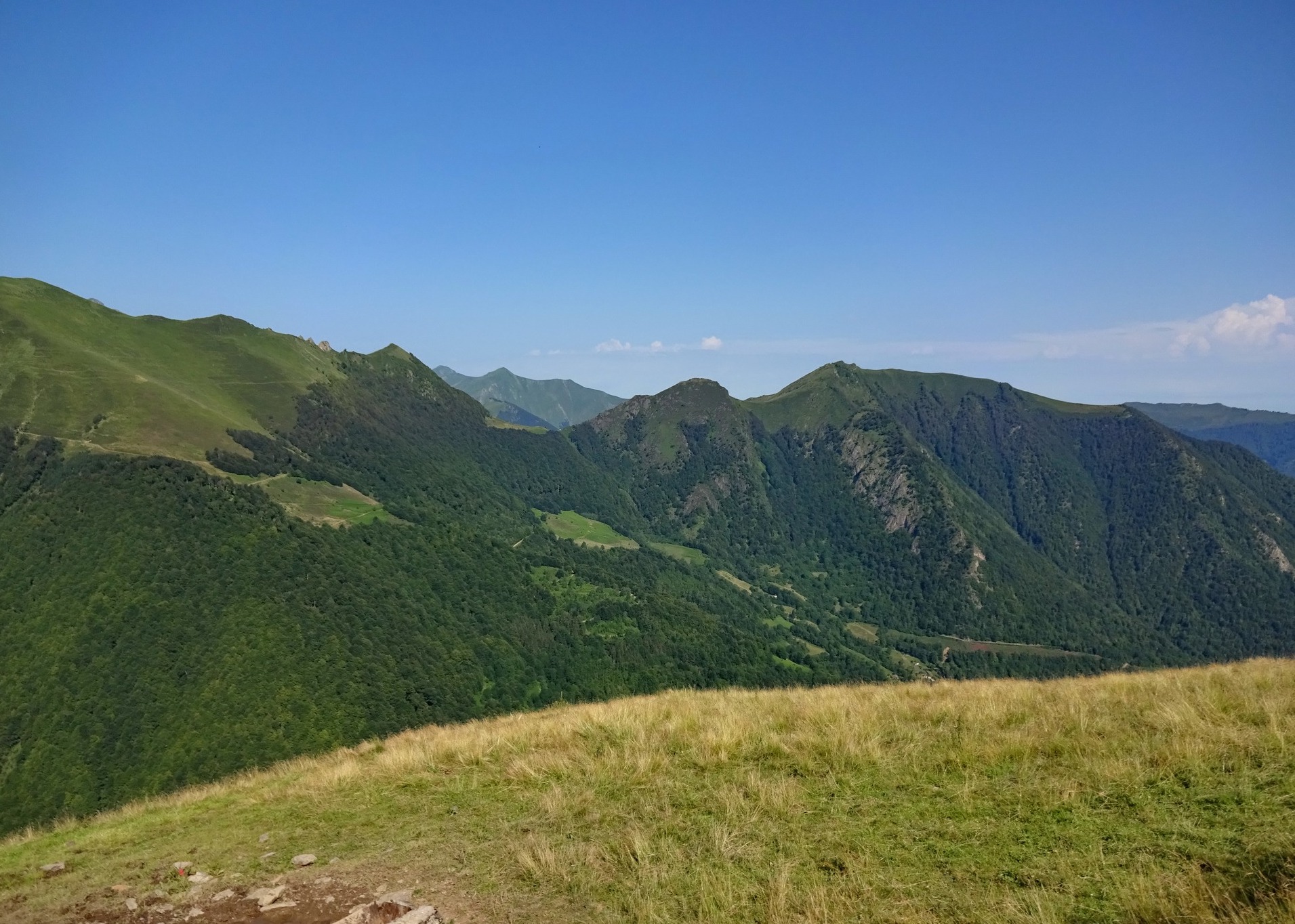
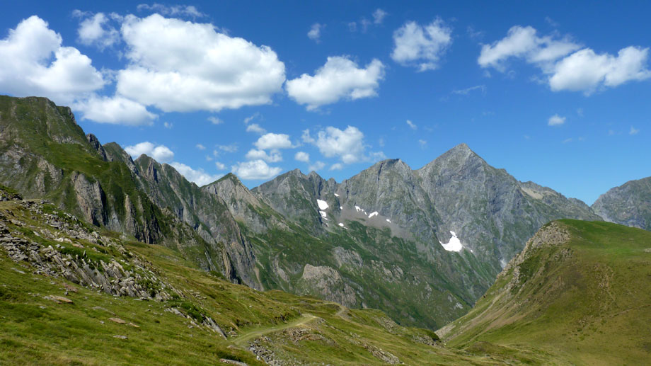
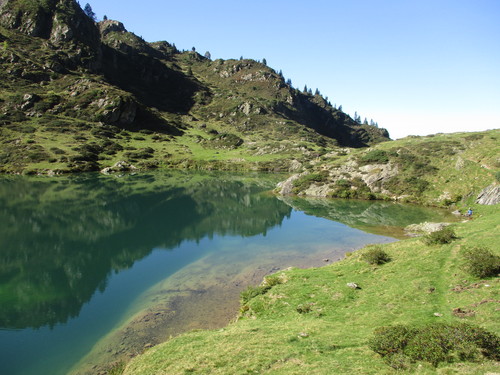
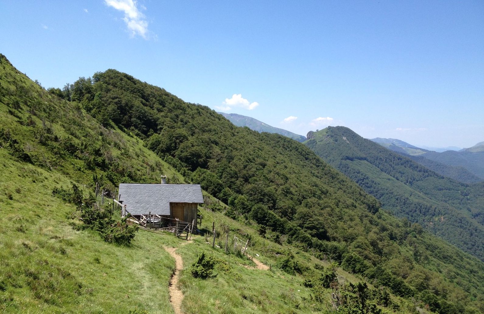
Departing from Antras, this beautiful hike goes around the Pic du Mail des Morères, and reaches the summit on a round trip for the bravest. The path also passes by the Couledoux hut.

Already more than 200,000 users!
Uphill
668m
Highest point
1588m
Downhill
668m
Lowest point
920m
Route type
Loop
Download the map on your smartphone to save battery and rest assured to always keep access to the route, even without signal.
Includes IGN France and Swisstopo.
I indicate whether dogs are allowed or prohibited on this trail
Can be difficult in Winter
0 ratings
Also enjoy:

Already more than 200,000 users!