Uphill
580m
Length
9km
Duration
4h30min
Elev gain
580m
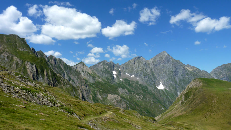
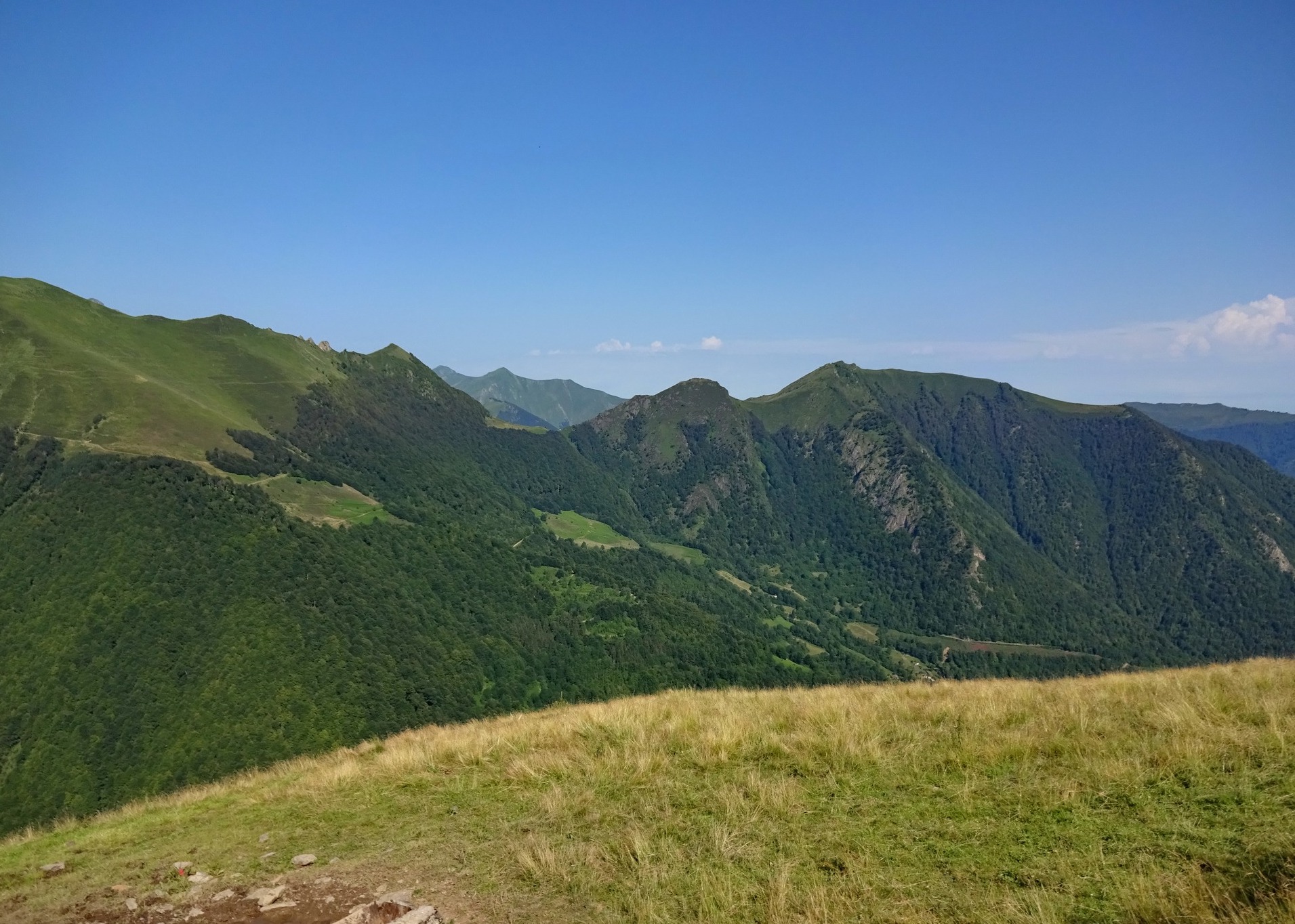
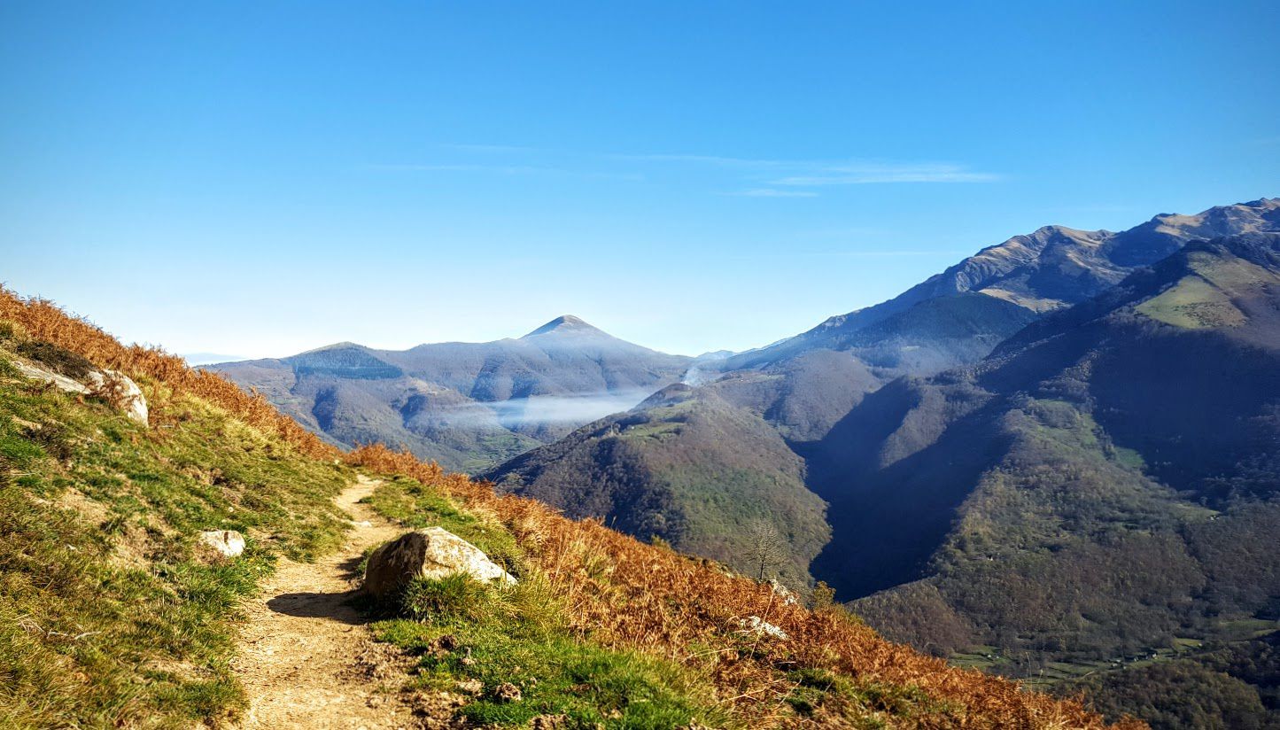
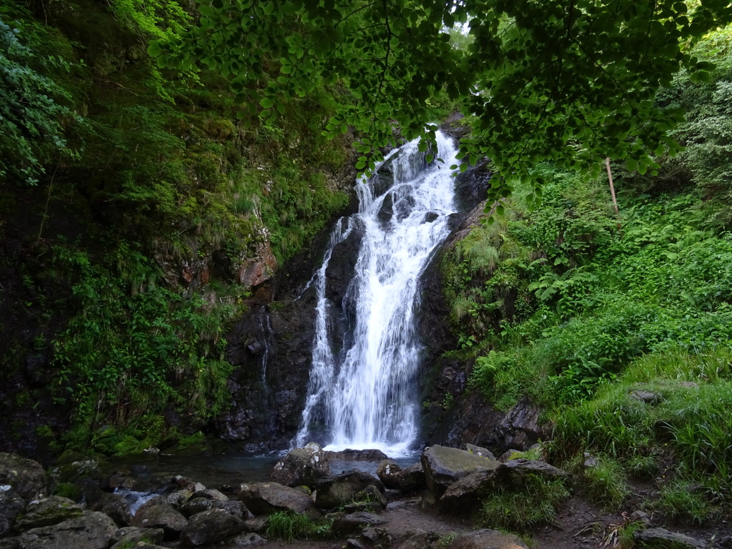
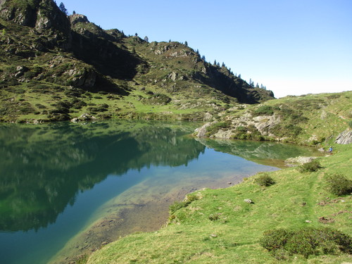
Round trip to the beautiful Ayes pond, ideal for a picnic. Possibility of passing by the nearby Bethmale pond by taking the road for 500 meters.

Already more than 200,000 users!
Uphill
580m
Highest point
1728m
Downhill
580m
Lowest point
1382m
Route type
There and back
Download the map on your smartphone to save battery and rest assured to always keep access to the route, even without signal.
Includes IGN France and Swisstopo.
Authorised on a leash
From May to October
1 rating
Also enjoy:

Already more than 200,000 users!