Uphill
1002m
Length
9km
Duration
6h30min
Elev gain
1002m
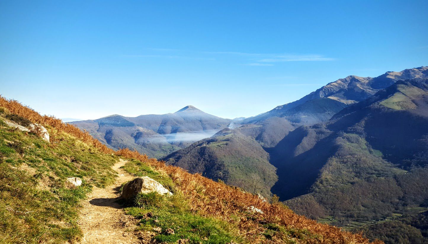
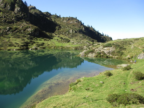
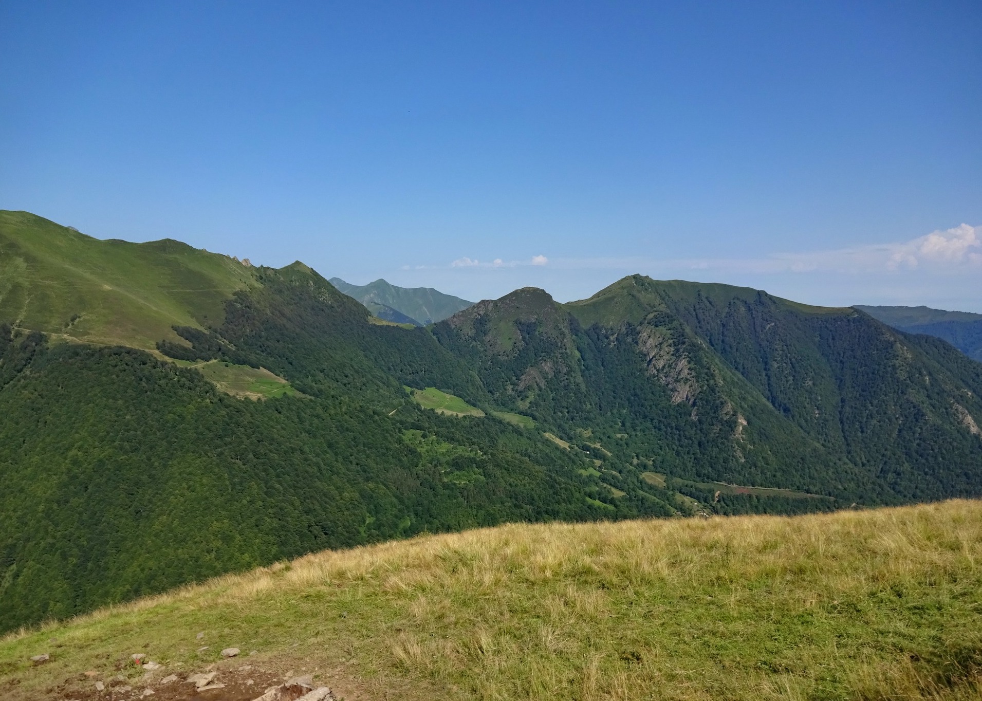
Departing from La Pucelle, this sporty hike leads to the Tuc du Coucou. The first part runs along the Orle and is done in the forest. The second part of the trail is exposed and overlooks the valley. At the top, the panorama is impressive.

Already more than 200,000 users!
Uphill
1002m
Highest point
1882m
Downhill
1002m
Lowest point
905m
Route type
There and back
Download the map on your smartphone to save battery and rest assured to always keep access to the route, even without signal.
Includes IGN France and Swisstopo.
I indicate whether dogs are allowed or prohibited on this trail
From May to October
0 ratings
Also enjoy:

Already more than 200,000 users!