Uphill
722m
France > Occitanie > Ariège > Ariège Pyrenees Regional Natural Park
Length
8km
Duration
5h
Elev gain
722m
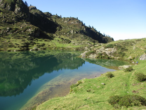
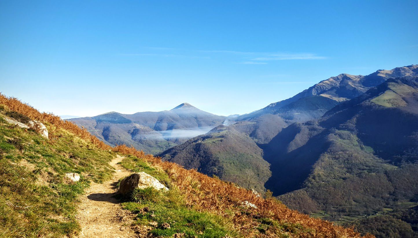
Beautiful hike from Balacet leading to the peak of Arraing, at 1,674 meters. The path passes very close to the Tuc de Puech (1,401m) then through the Col de l'Arraing. The 360° view is amazing.

Already more than 200,000 users!
Uphill
722m
Highest point
1655m
Downhill
722m
Lowest point
924m
Route type
Loop
Download the map on your smartphone to save battery and rest assured to always keep access to the route, even without signal.
Includes IGN France and Swisstopo.
I indicate whether dogs are allowed or prohibited on this trail
From May to October
0 ratings
Also enjoy:

Already more than 200,000 users!