Uphill
2181m
France > Occitanie > Ariège > Ariège Pyrenees Regional Natural Park
Length
21km
Duration
14h30min
Elev gain
2181m
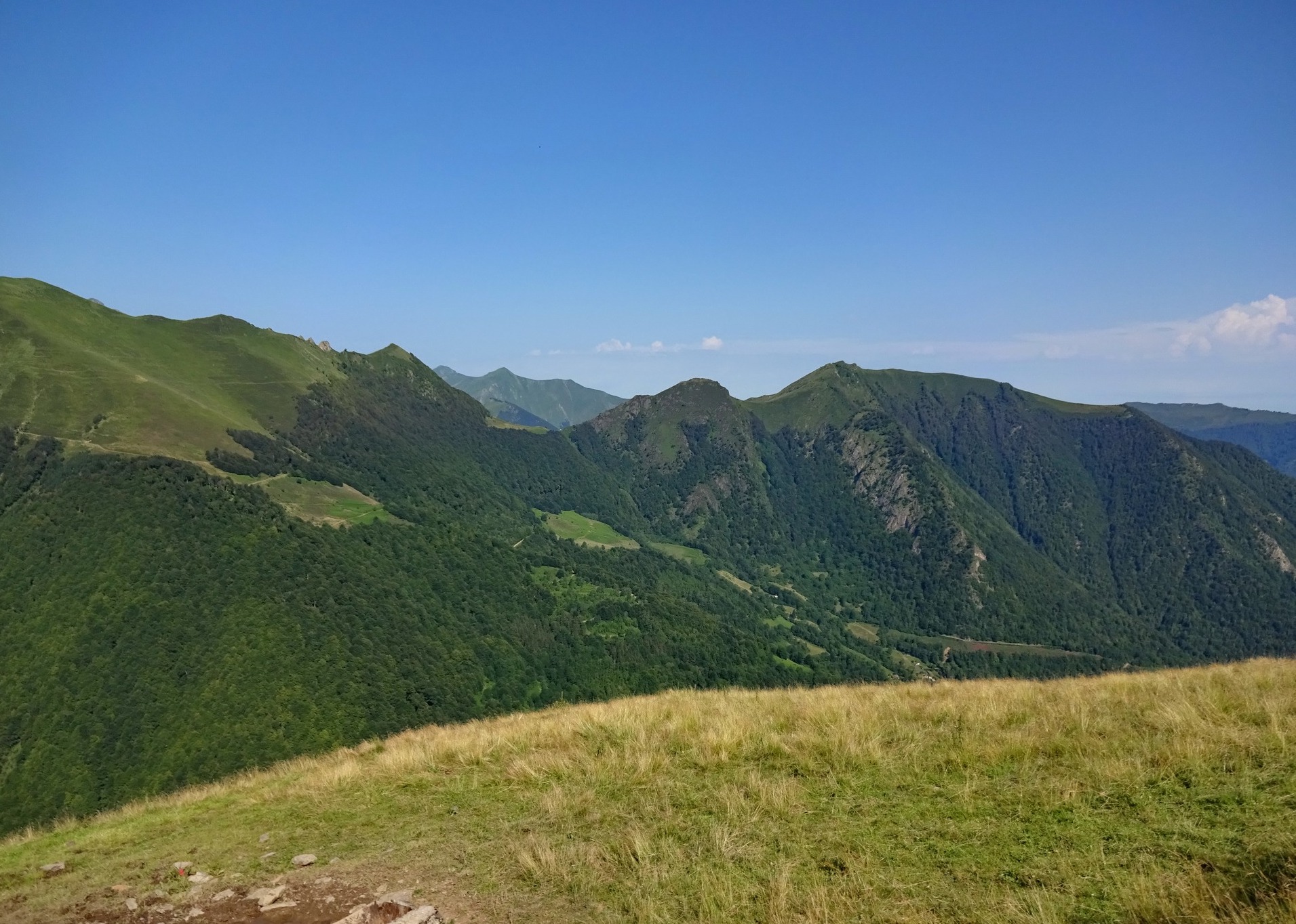
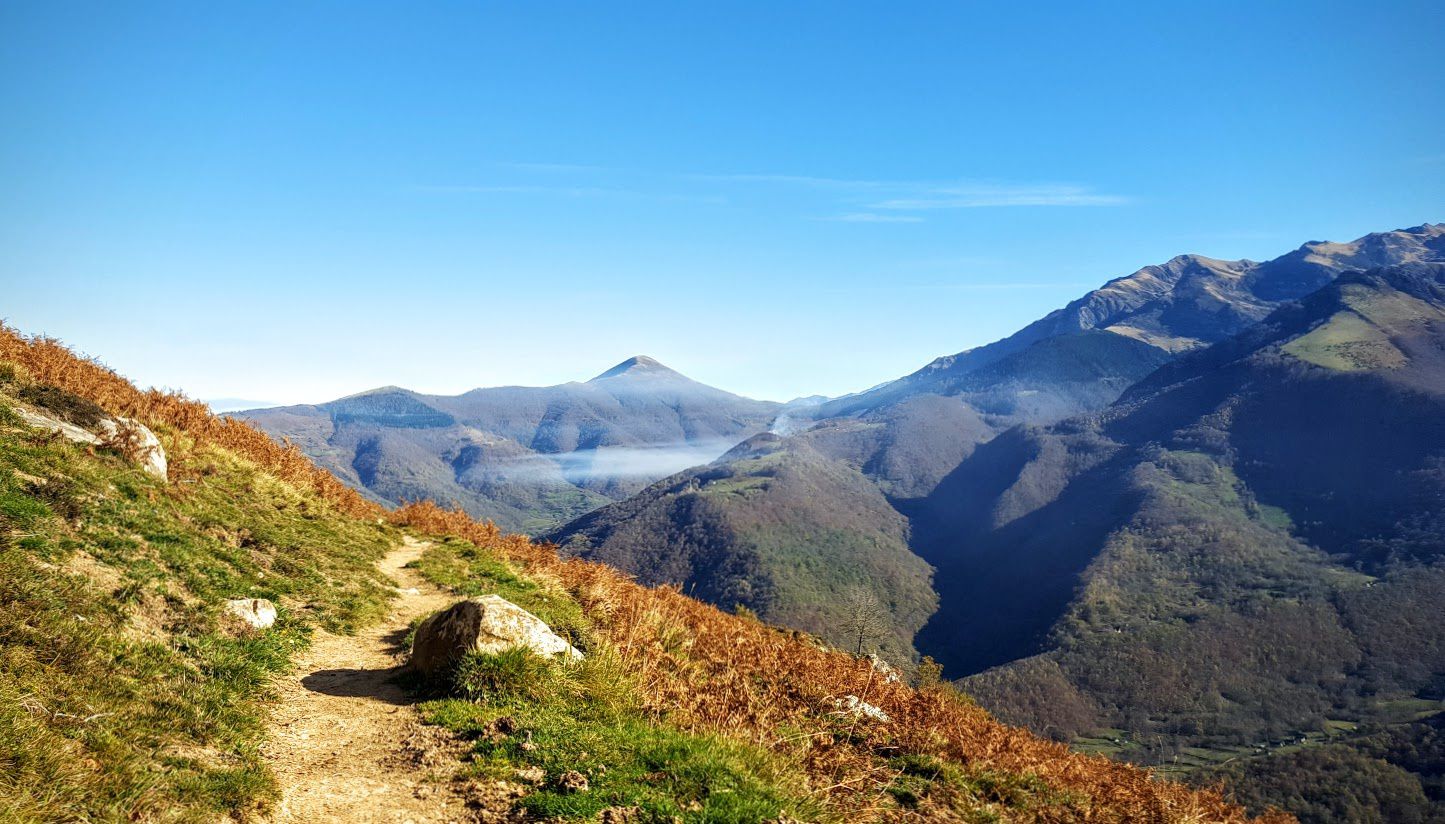
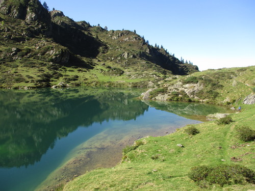
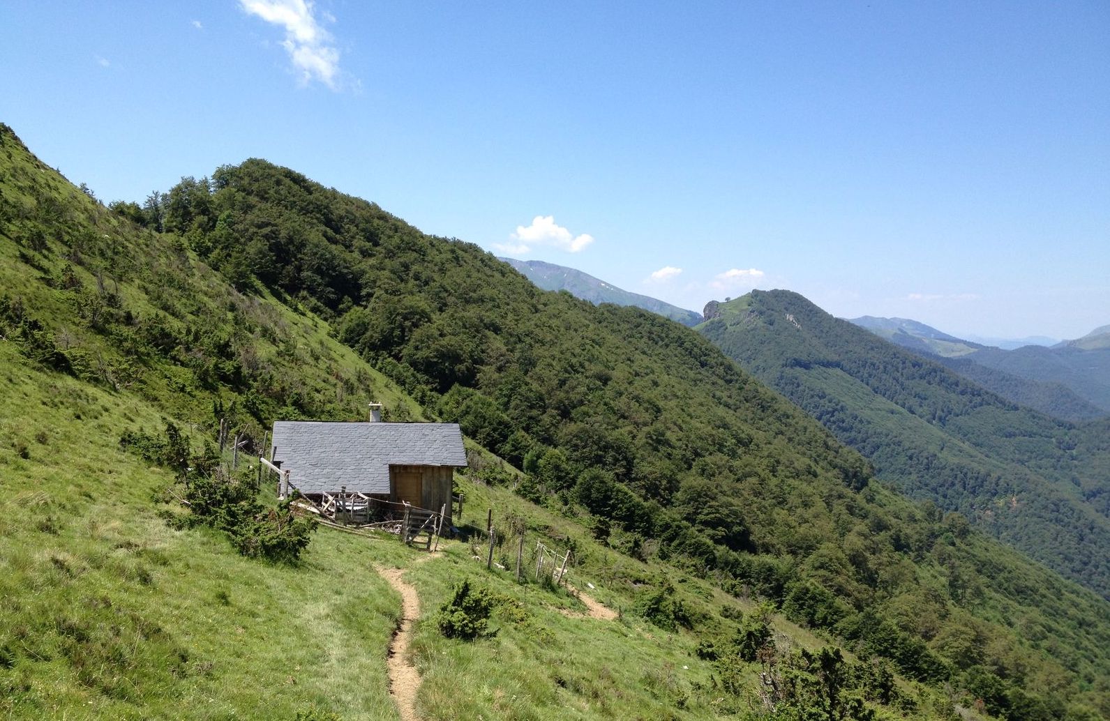
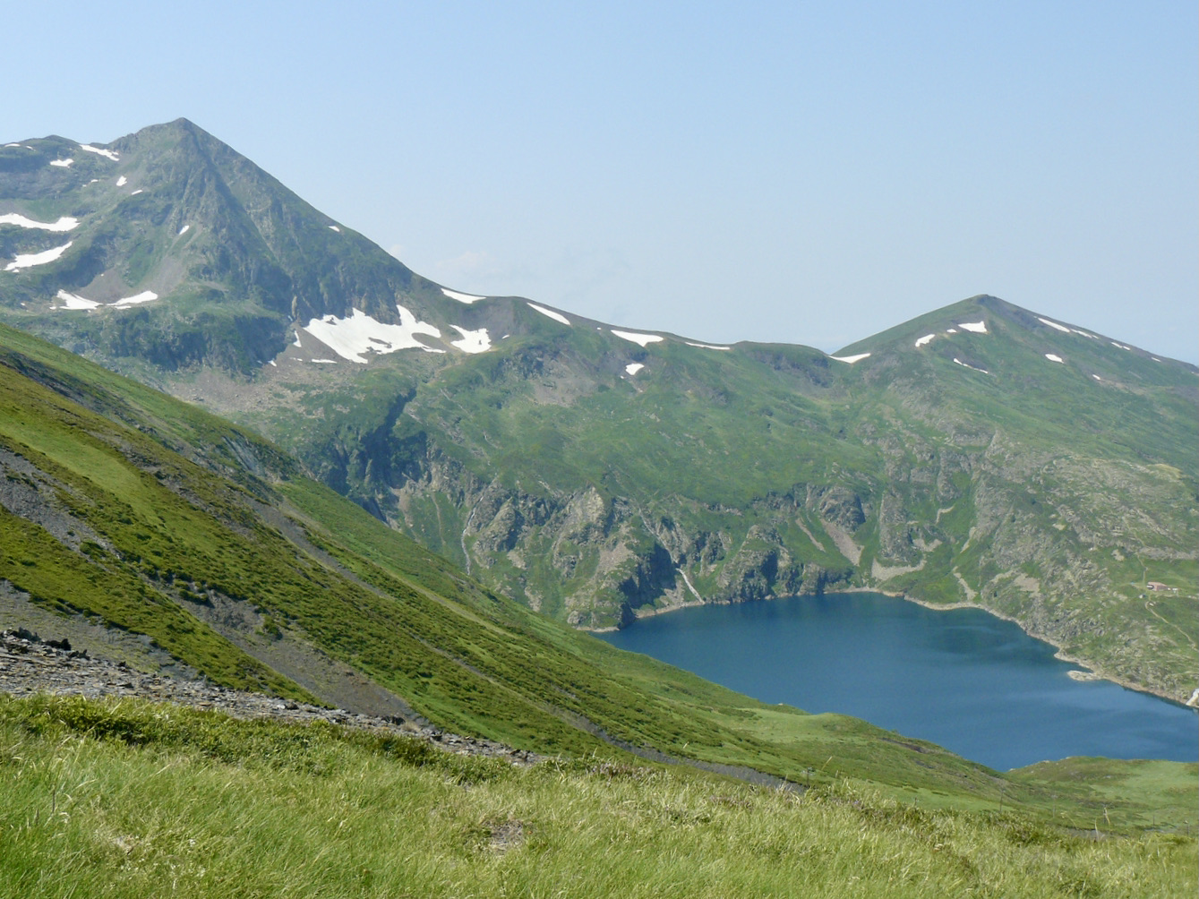
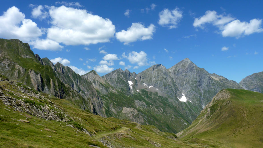
Culminating at 2,838 m, Mont Valier is not nicknamed the Lord of Couserans by chance. Arriving from the Toulouse plain, it majestically imposes its presence in the heart of the Pyrenees.
A fairly difficult hike allows you to reach the top, but the beauty of the landscapes is worth the effort.

Already more than 200,000 users!
Uphill
2181m
Highest point
2813m
Downhill
2181m
Lowest point
940m
Route type
Loop
Download the map on your smartphone to save battery and rest assured to always keep access to the route, even without signal.
Includes IGN France and Swisstopo.
I indicate whether dogs are allowed or prohibited on this trail
From June to September
1 rating
Also enjoy:

Already more than 200,000 users!