Uphill
375m
Length
12km
Duration
4h
Elev gain
375m
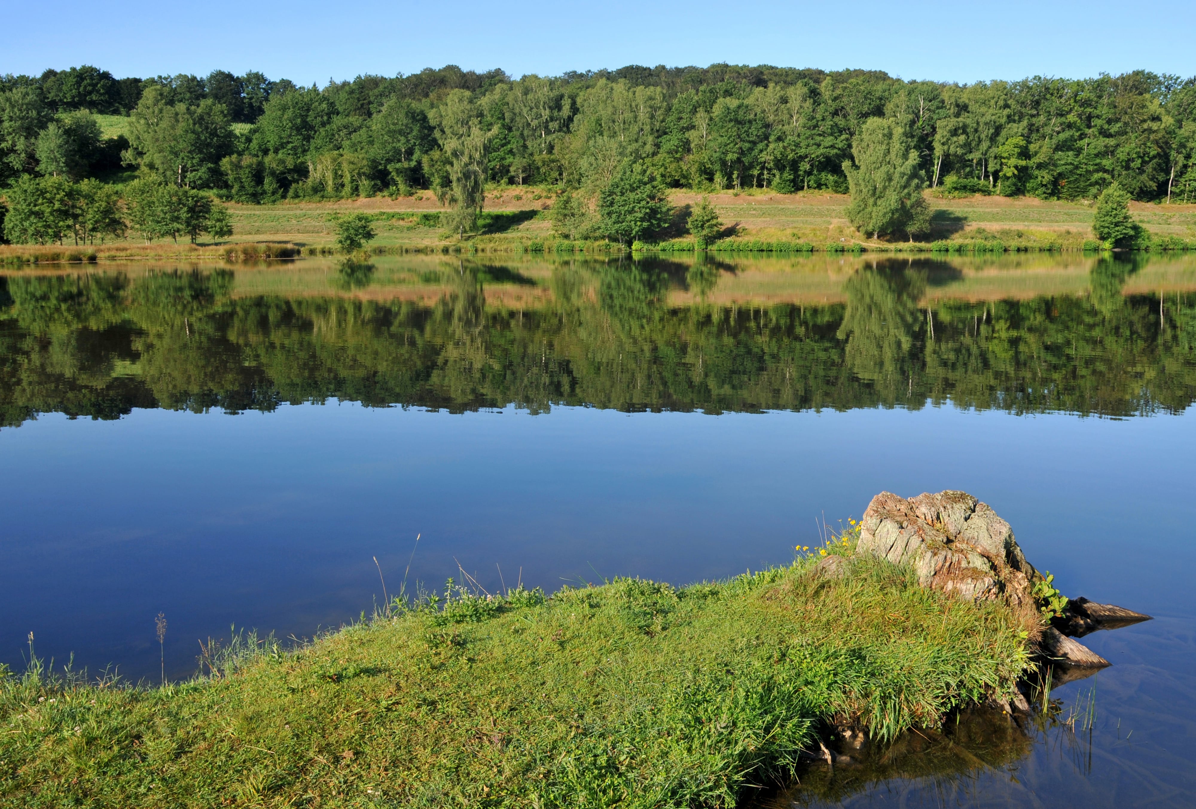
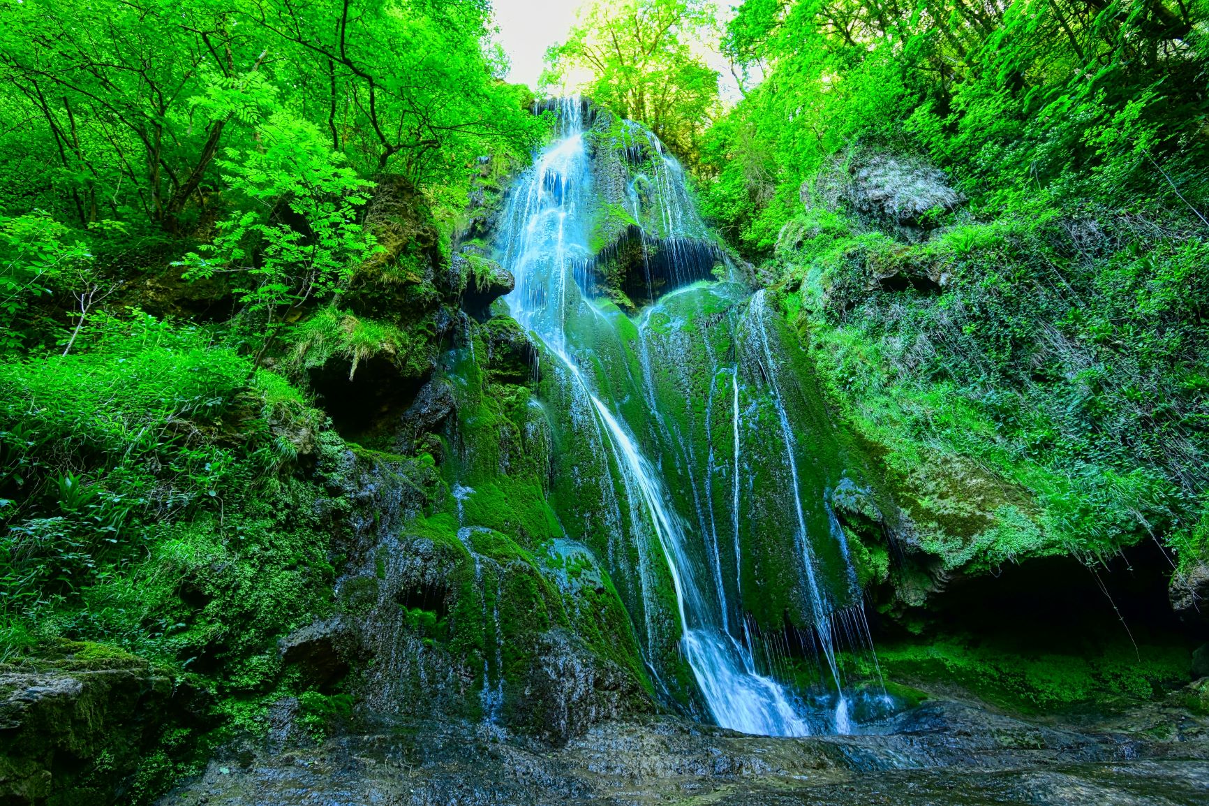
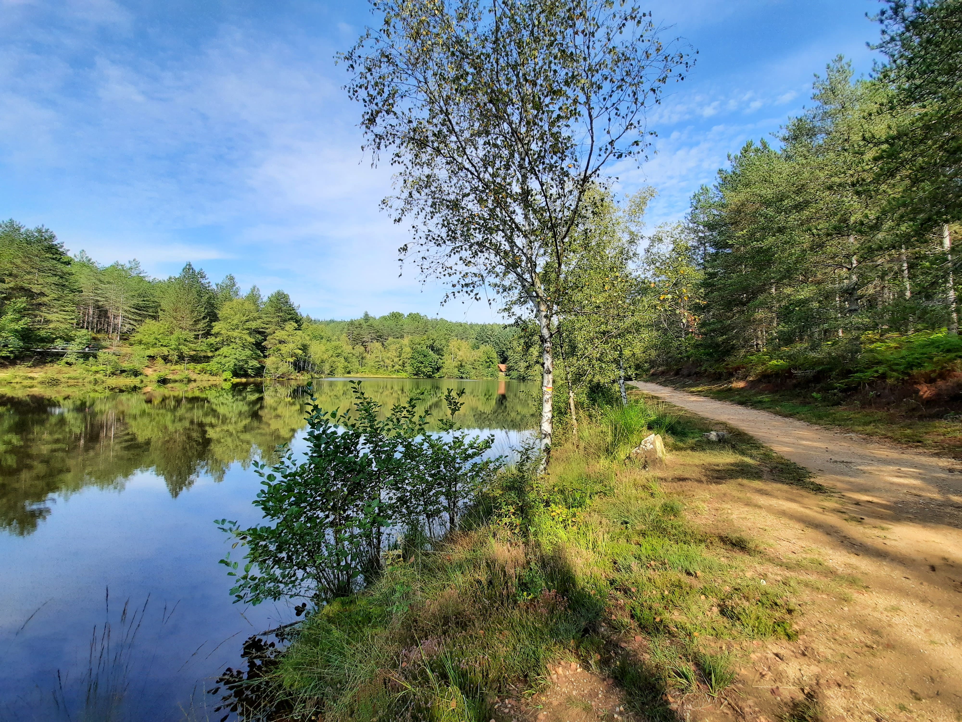
Departing from Cardaillac, birthplace of one of the oldest feudal families in France, this loop hike passes through the charming lake of Sagnes. The path rises a little along the Drauziou stream then descends towards the Sagnes lake, in the middle of coniferous woods.
Note that this route uses roads several times.

Already more than 200,000 users!
Uphill
375m
Highest point
543m
Downhill
375m
Lowest point
313m
Route type
Loop
Download the map on your smartphone to save battery and rest assured to always keep access to the route, even without signal.
Includes IGN France and Swisstopo.
I indicate whether dogs are allowed or prohibited on this trail
All year
0 ratings
Also enjoy:

Already more than 200,000 users!