Uphill
302m
Length
9km
Duration
3h
Elev gain
302m
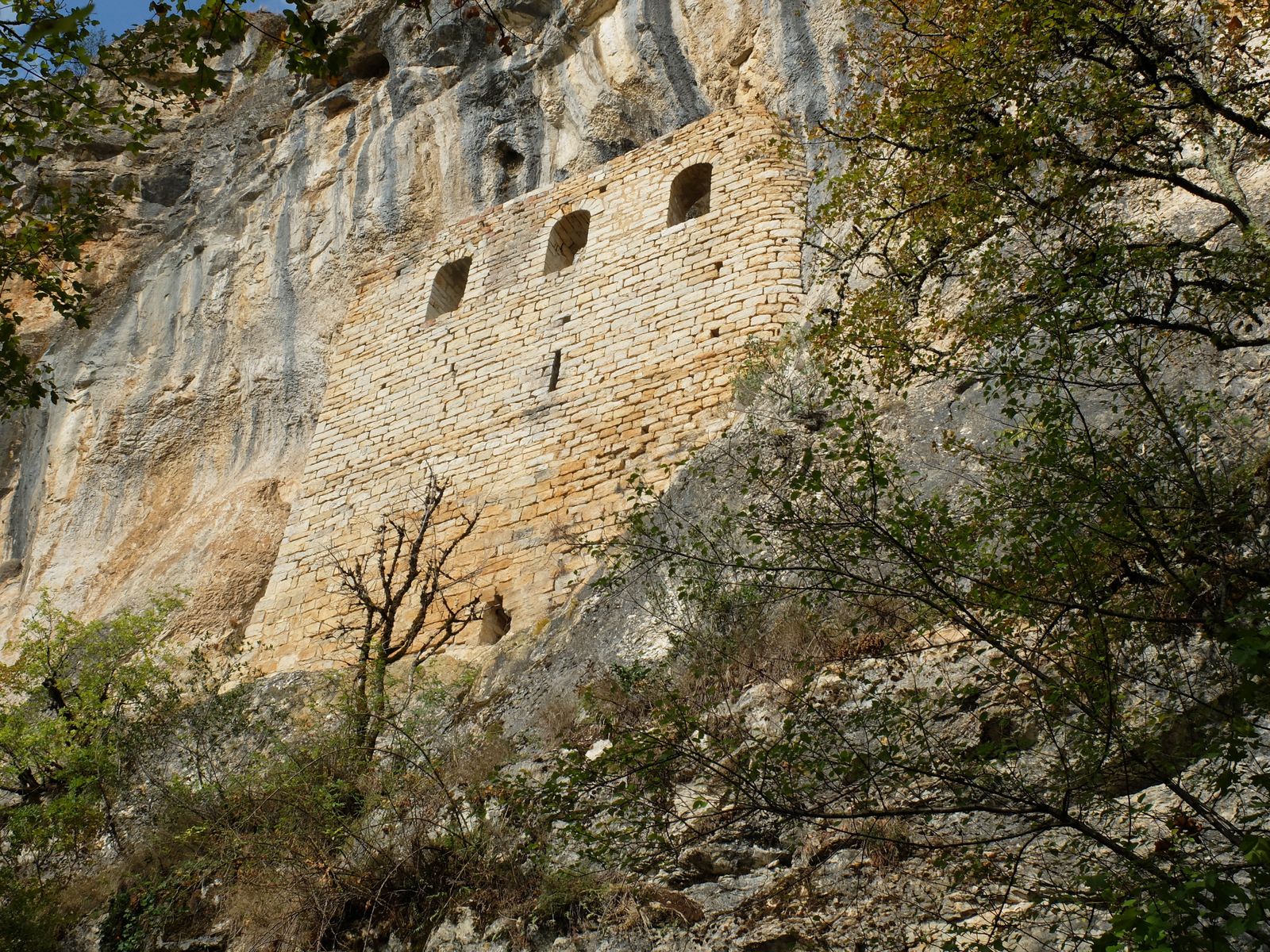
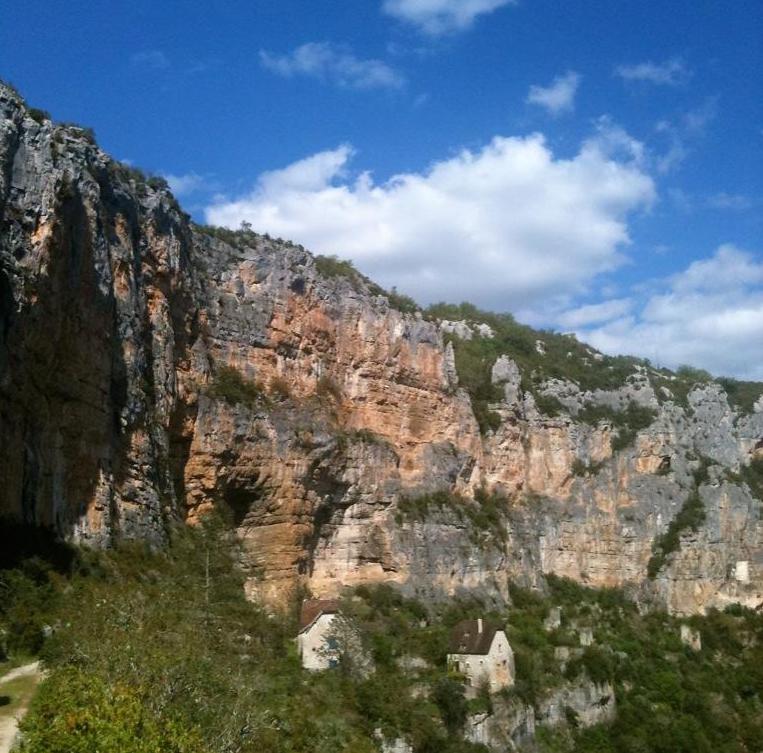
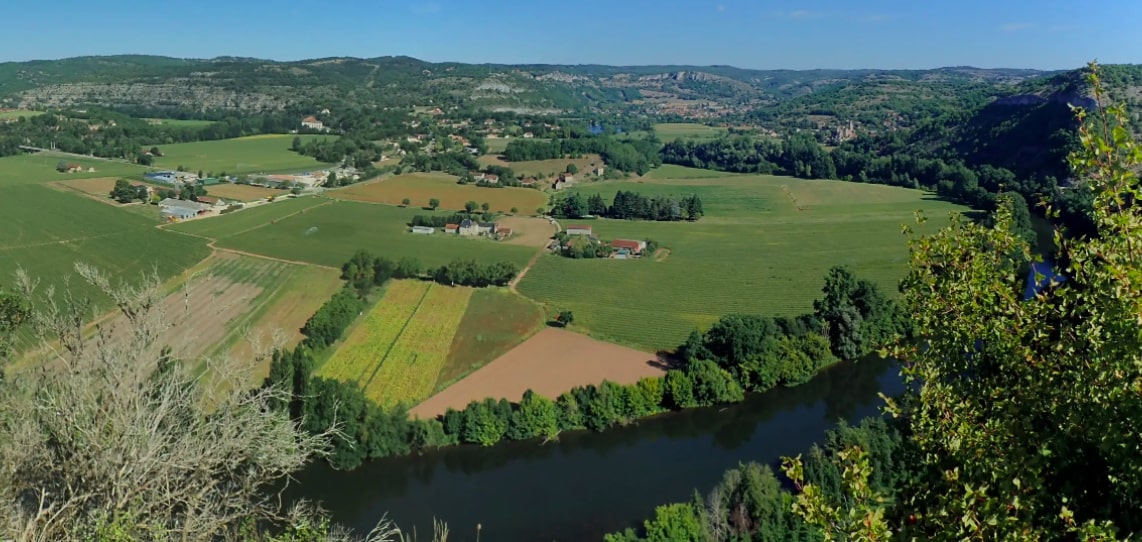
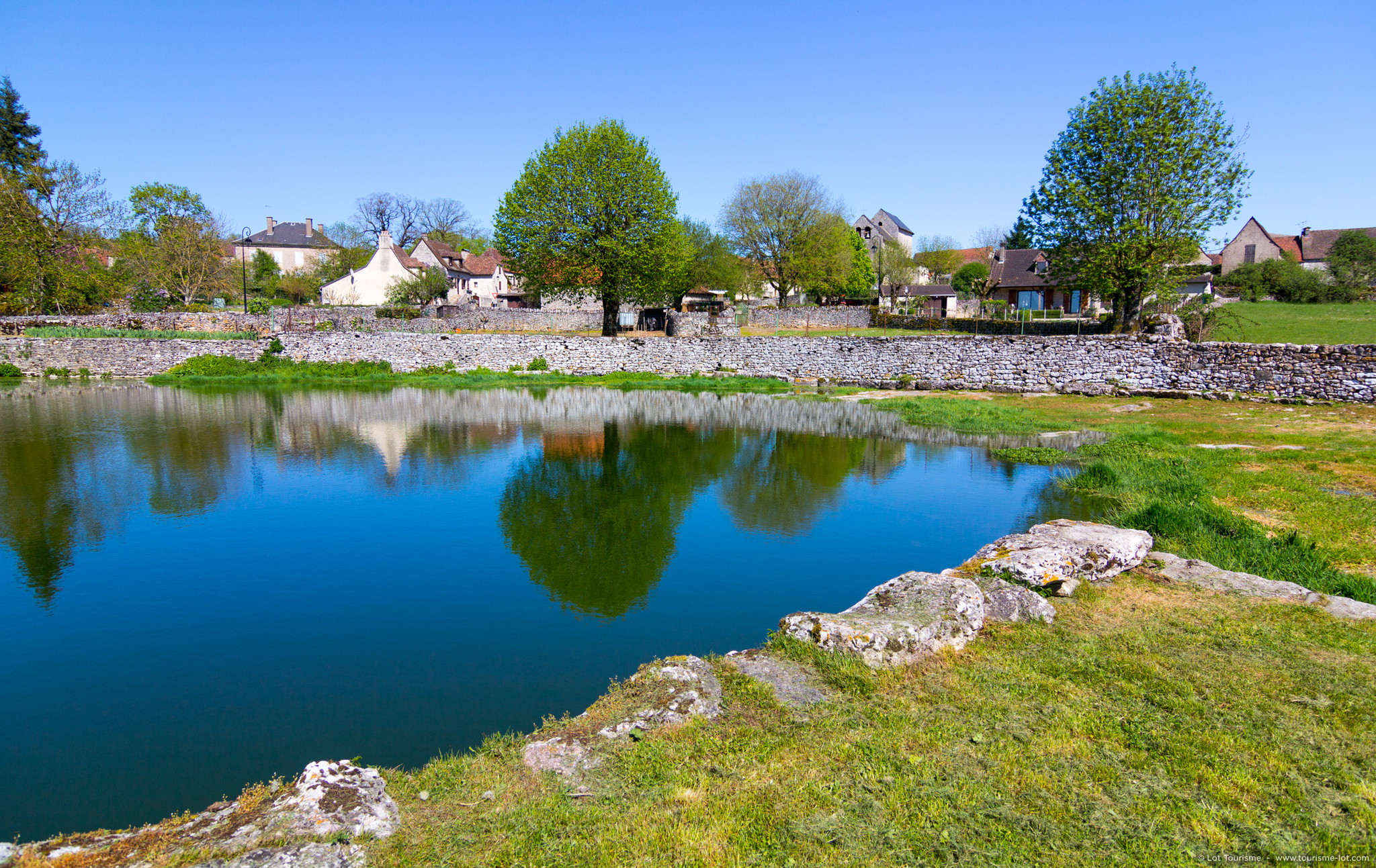
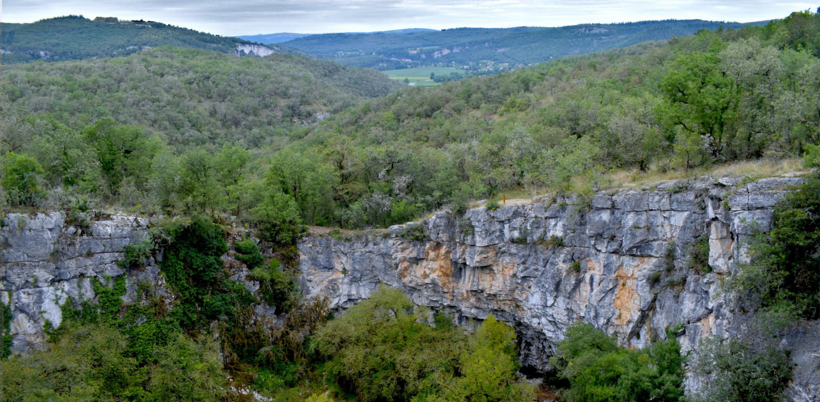
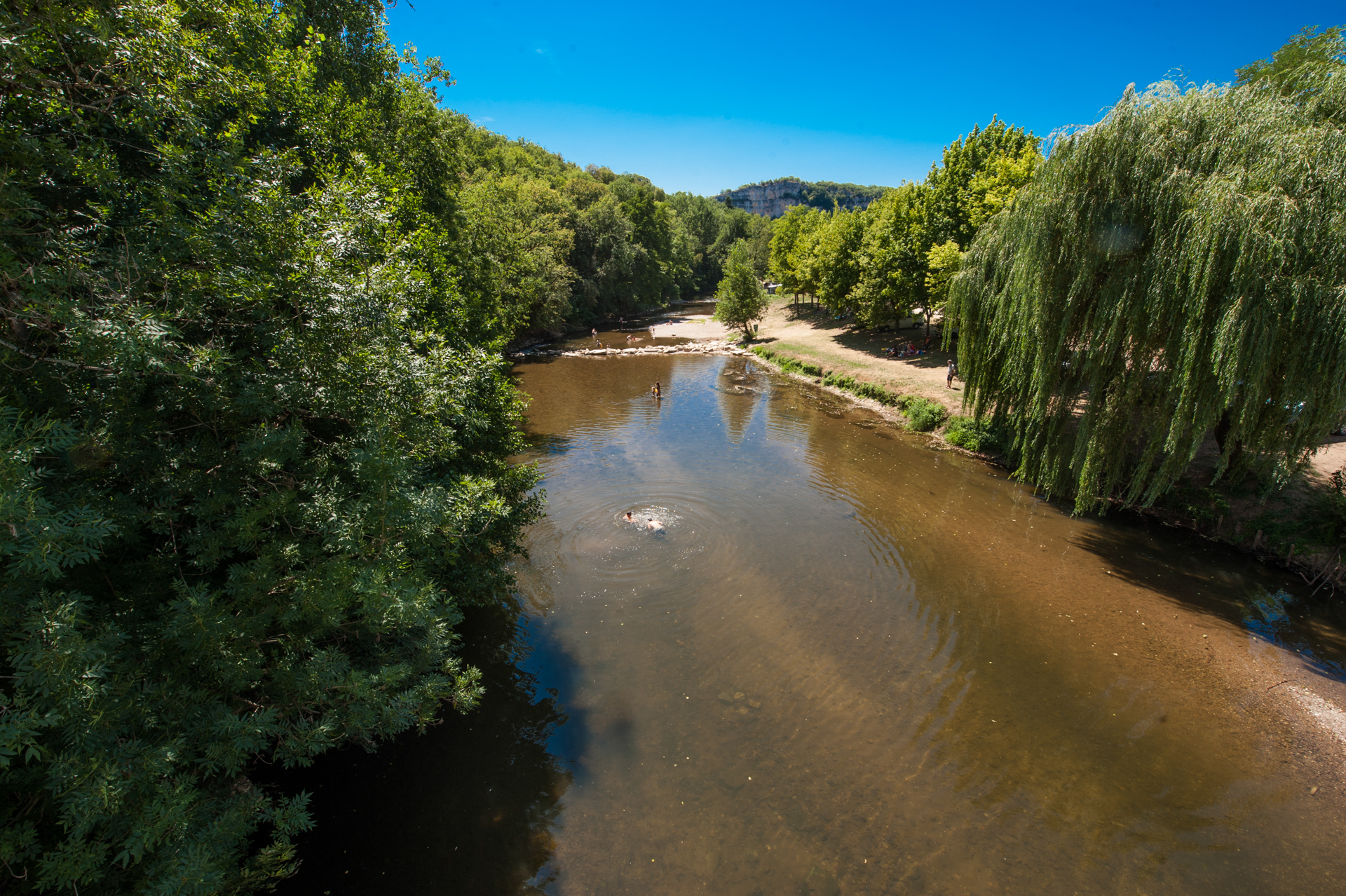
Starting from the village of Brengues, this hike makes a nice loop in the heart of the Célé valley. The route passes by the rock of Lagane, a cliff pierced with numerous cavities which dominates the Célé and offers a very beautiful panorama, before returning to the direction of the starting point.

Already more than 200,000 users!
Uphill
302m
Highest point
310m
Downhill
302m
Lowest point
144m
Route type
Loop
Download the map on your smartphone to save battery and rest assured to always keep access to the route, even without signal.
Includes IGN France and Swisstopo.
I indicate whether dogs are allowed or prohibited on this trail
All year
0 ratings
Also enjoy:

Already more than 200,000 users!