Uphill
91m
Length
9km
Duration
2h30min
Elev gain
91m
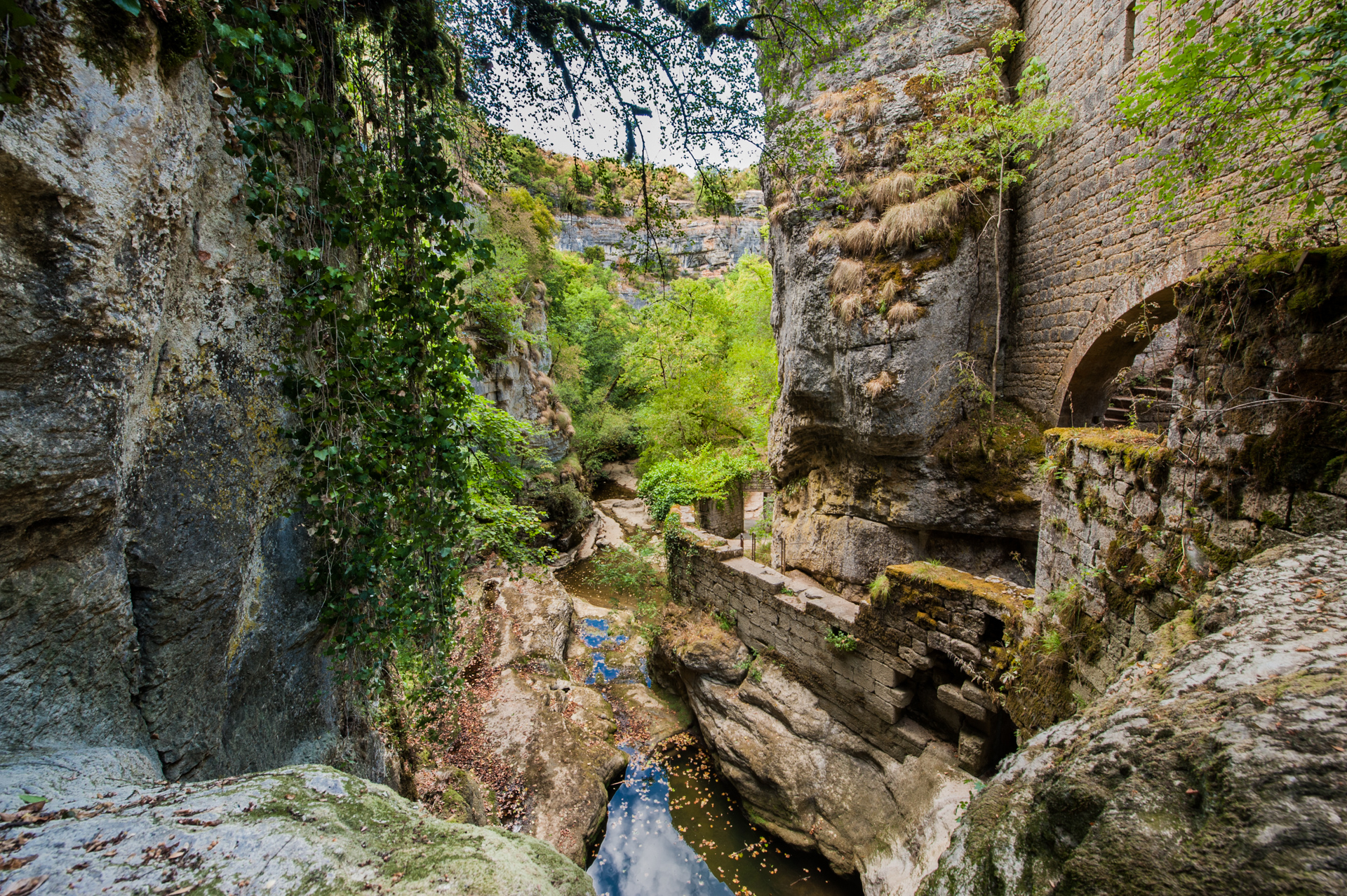
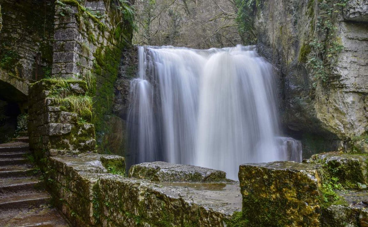
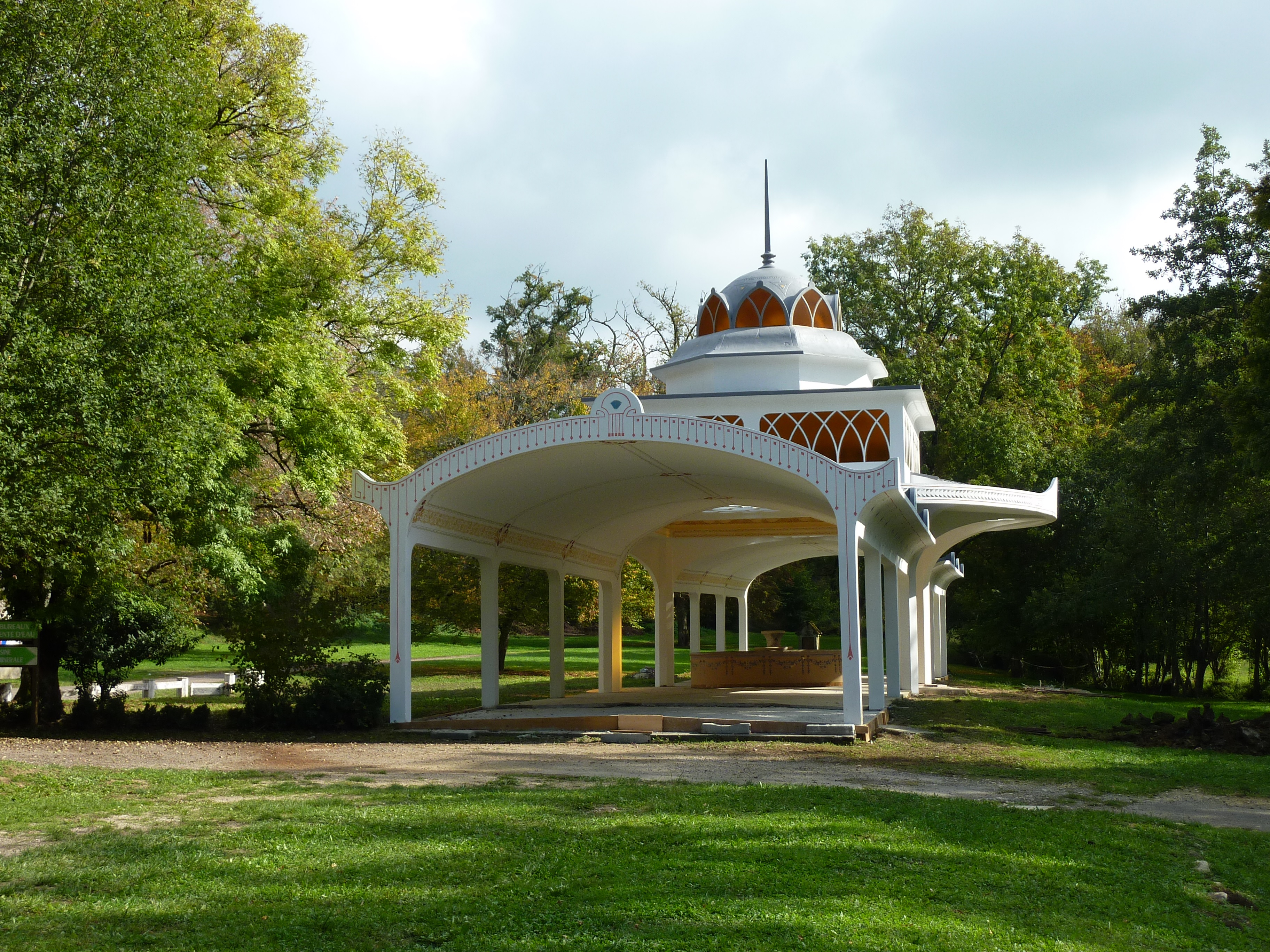
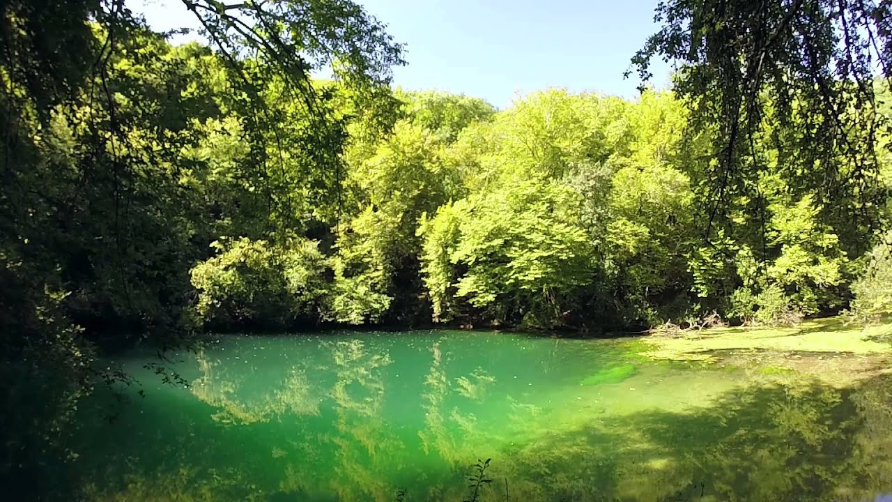
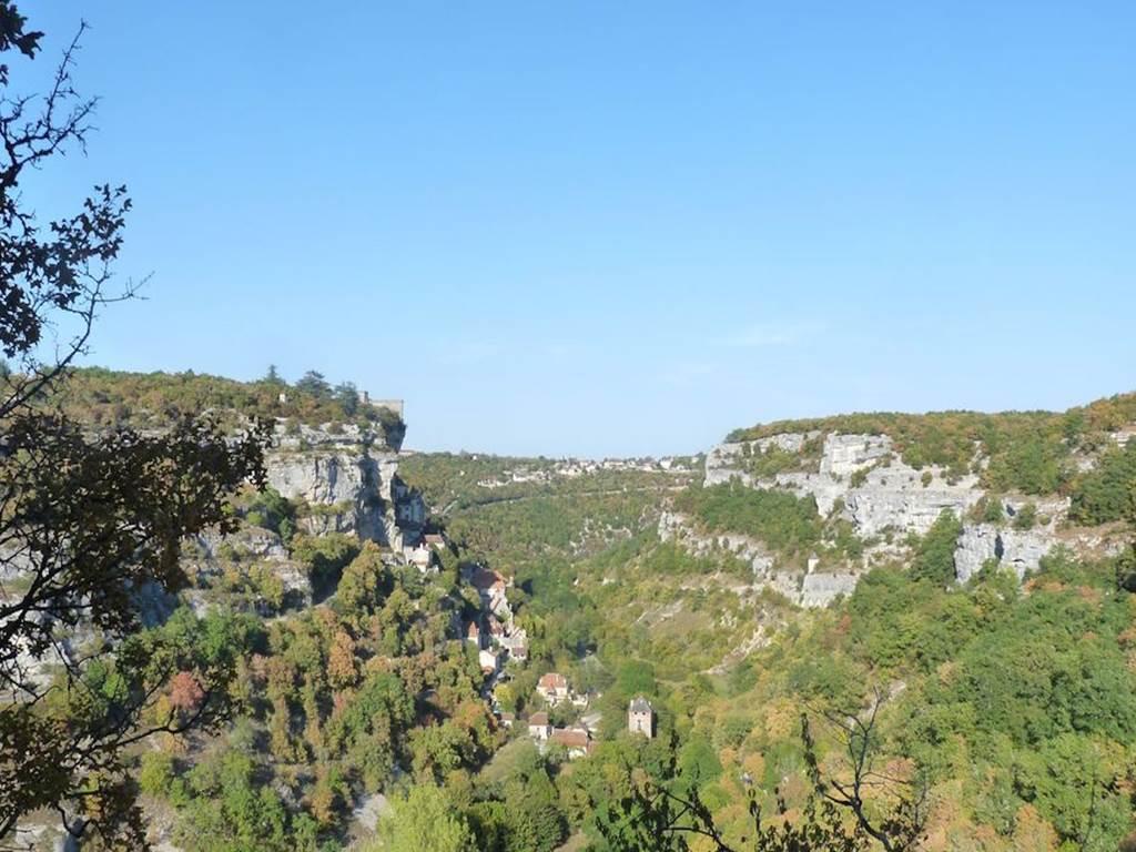
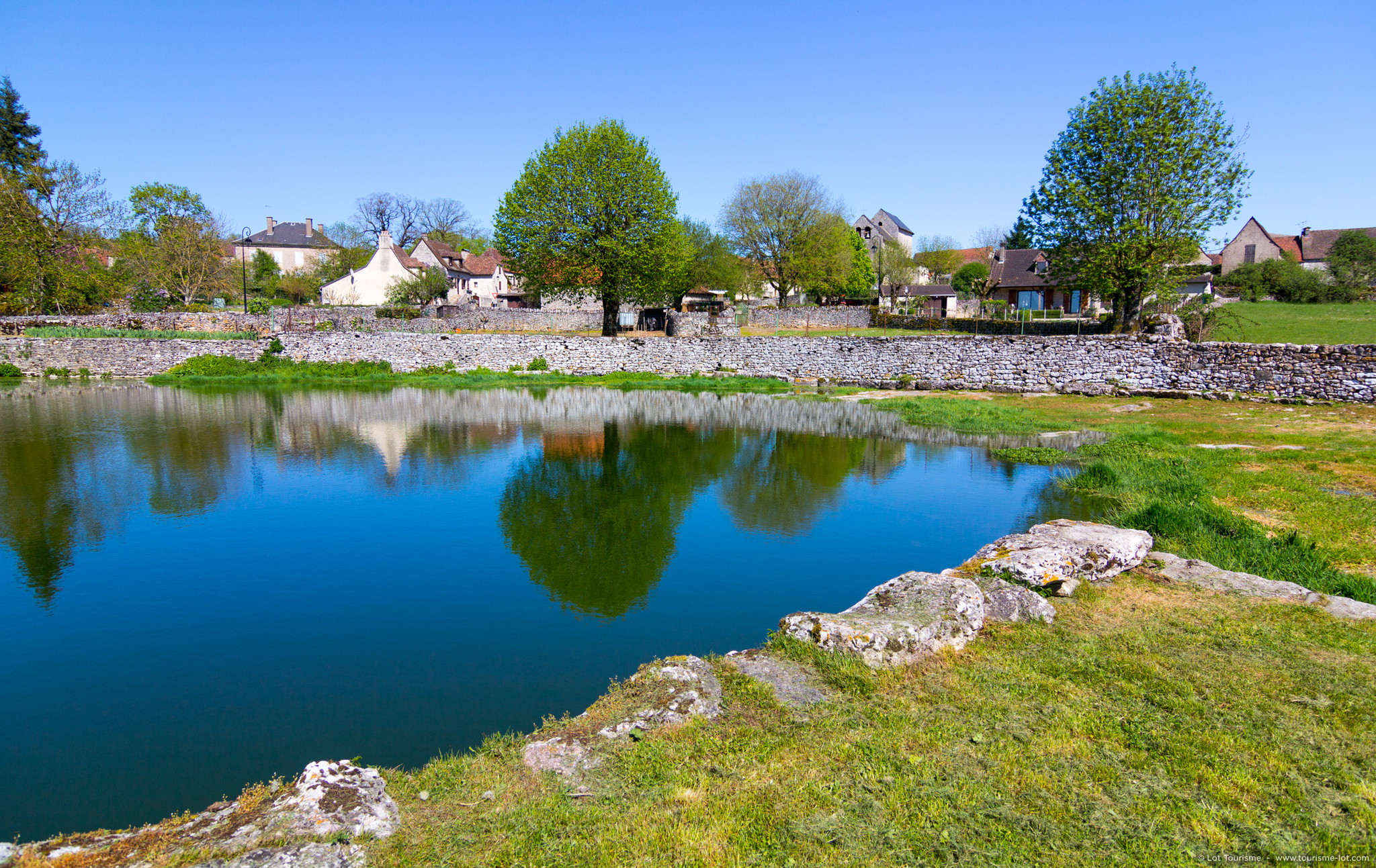
This walk allows you to discover Reilhac, a typical Causse village, built around its wash house and its Romanesque church. The route passes through the old installations that allowed the inhabitants to get their water supply: canals, washhouse and rainwater recovery basins. A beautiful walk with a rich natural and historical heritage.

Already more than 200,000 users!
Uphill
91m
Highest point
393m
Downhill
91m
Lowest point
325m
Route type
Loop
Download the map on your smartphone to save battery and rest assured to always keep access to the route, even without signal.
Includes IGN France and Swisstopo.
I indicate whether dogs are allowed or prohibited on this trail
All year
0 ratings
Also enjoy:

Already more than 200,000 users!