Uphill
210m
France > Occitanie > Lot > Causses du Quercy Nature Park
Length
10km
Duration
3h
Elev gain
210m
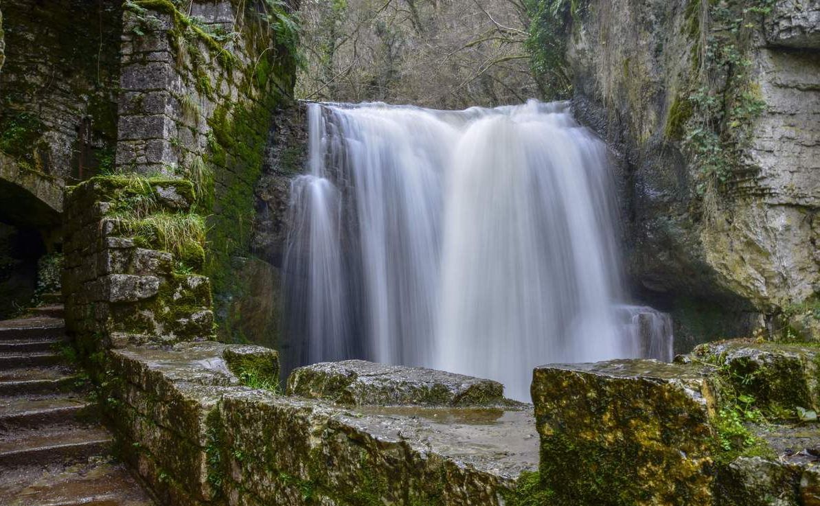
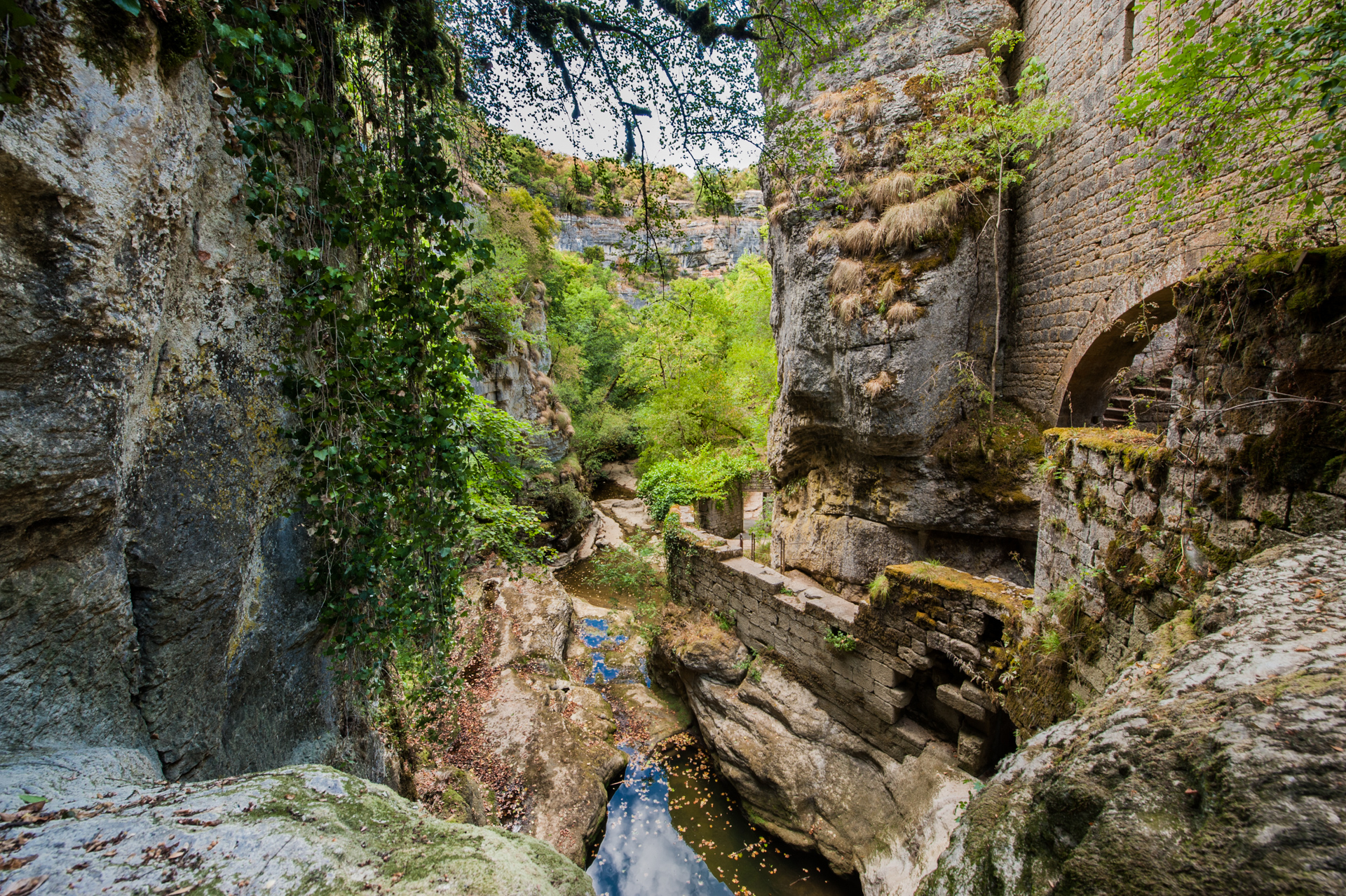
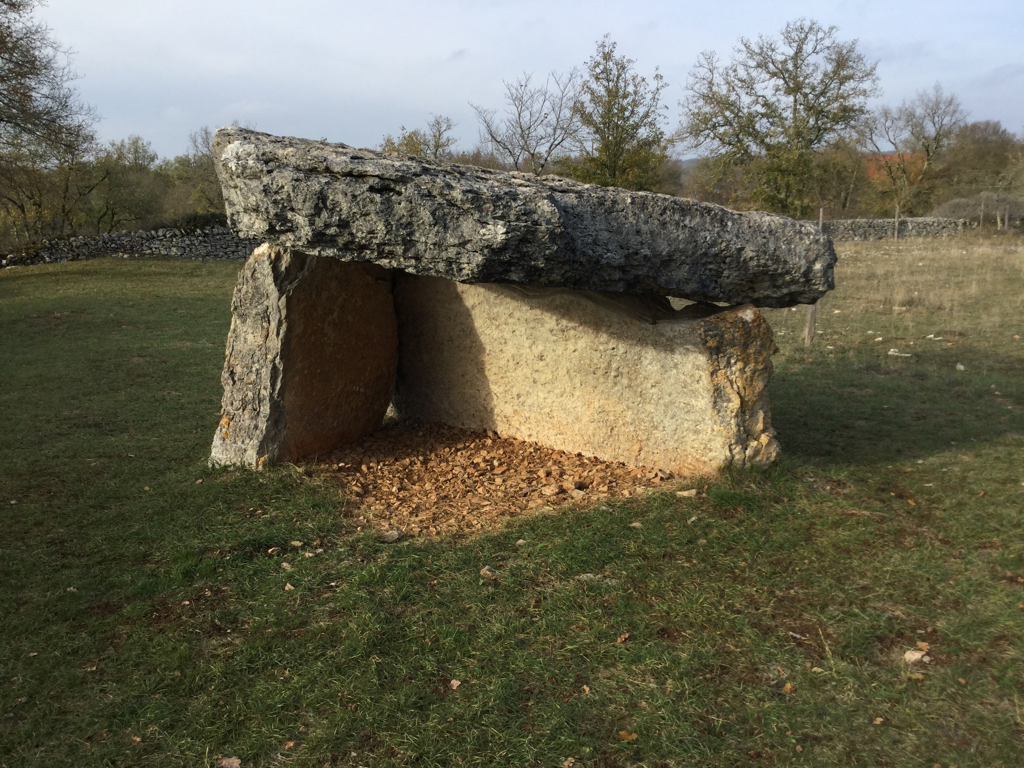
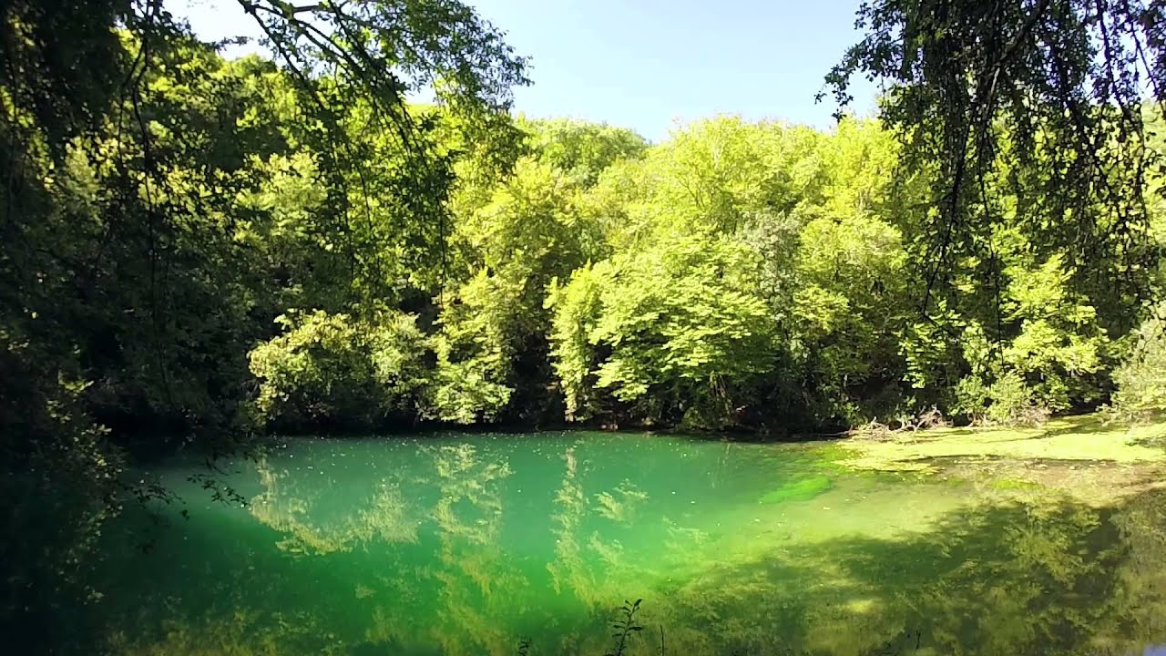
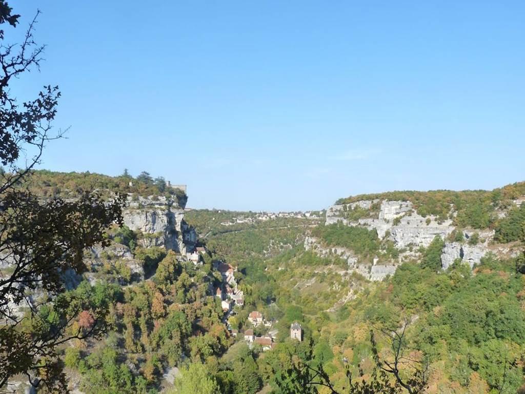
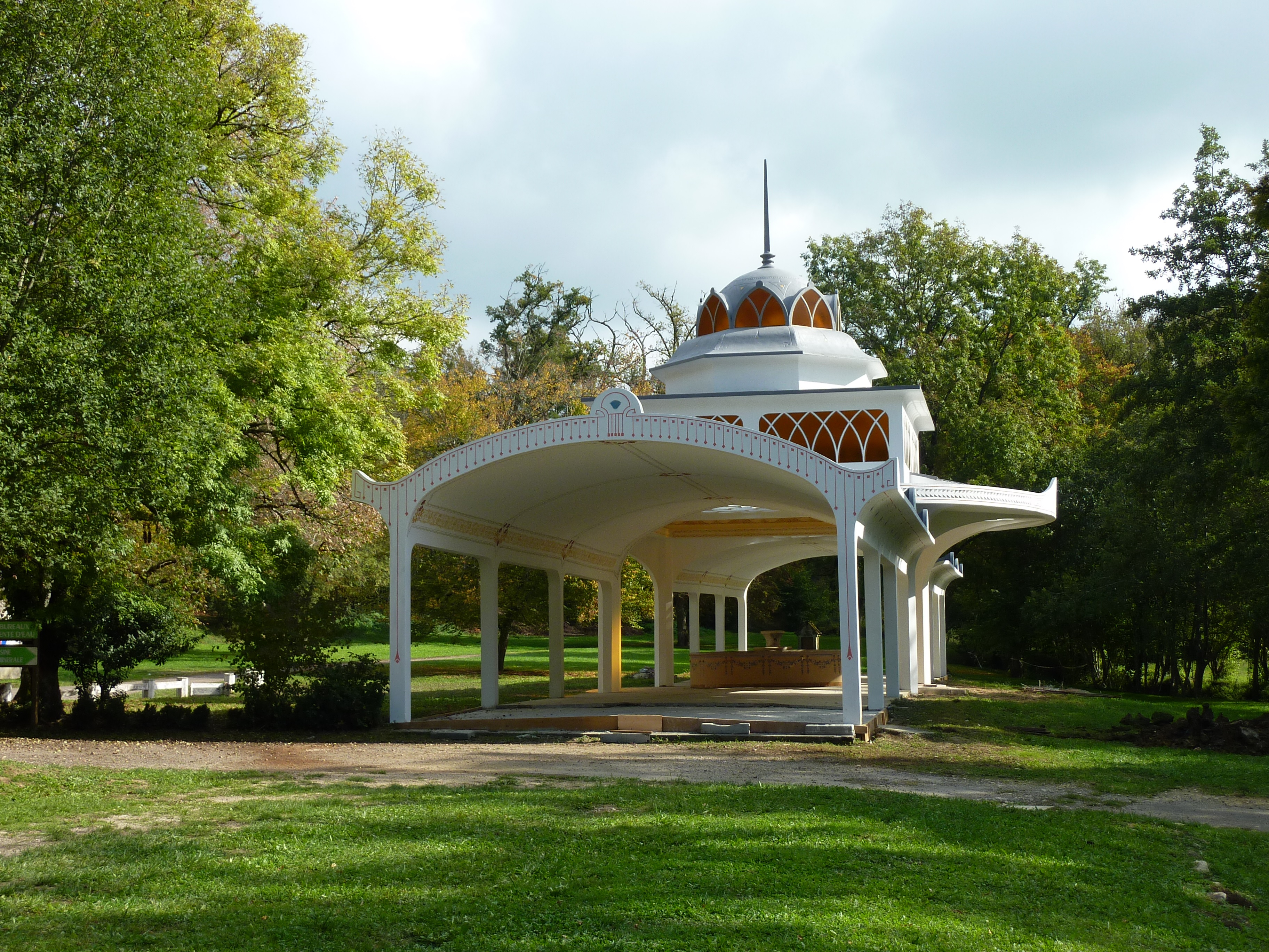
Departing from Alvignac, this route explores the surrounding countryside between meadows, forests and rivers. The path also passes by the Salmière spring and its water pavilion, dating from the beginning of the 20th century.

Already more than 200,000 users!
Uphill
210m
Highest point
368m
Downhill
210m
Lowest point
271m
Route type
Loop
Download the map on your smartphone to save battery and rest assured to always keep access to the route, even without signal.
Includes IGN France and Swisstopo.
I indicate whether dogs are allowed or prohibited on this trail
All year
1 rating
Also enjoy:

Already more than 200,000 users!