Uphill
125m
Length
7km
Duration
2h
Elev gain
125m
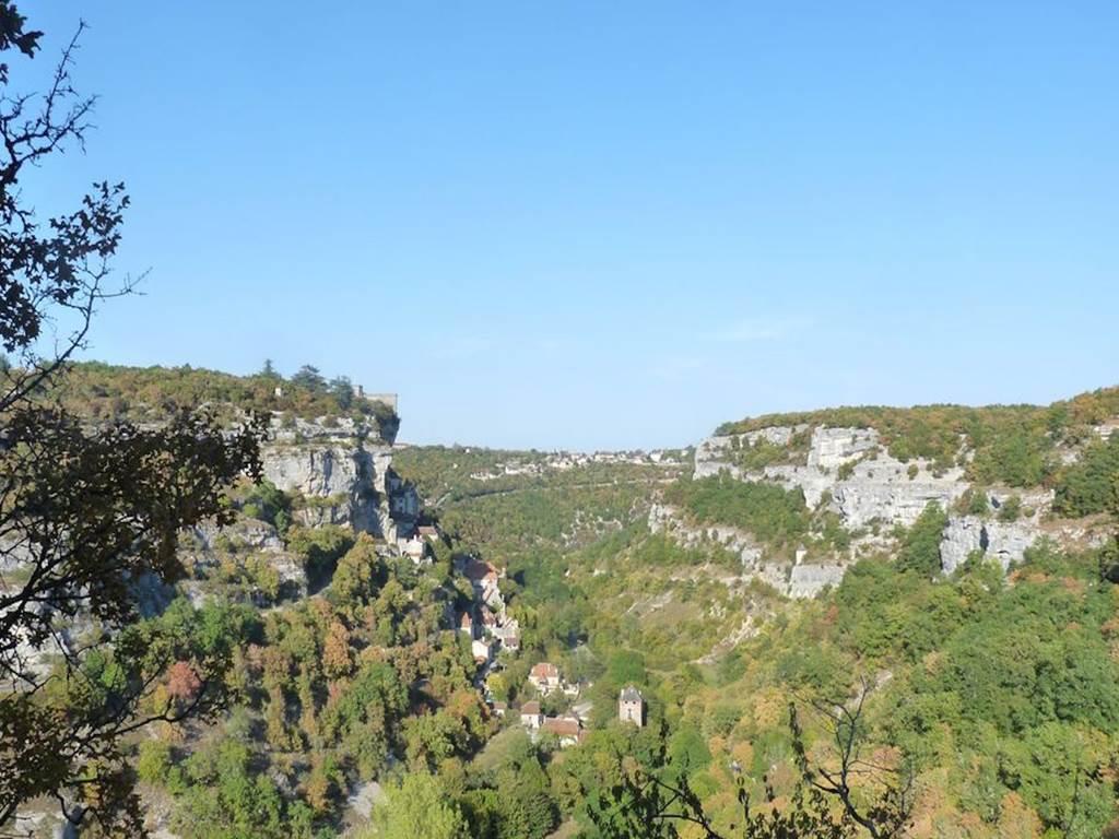
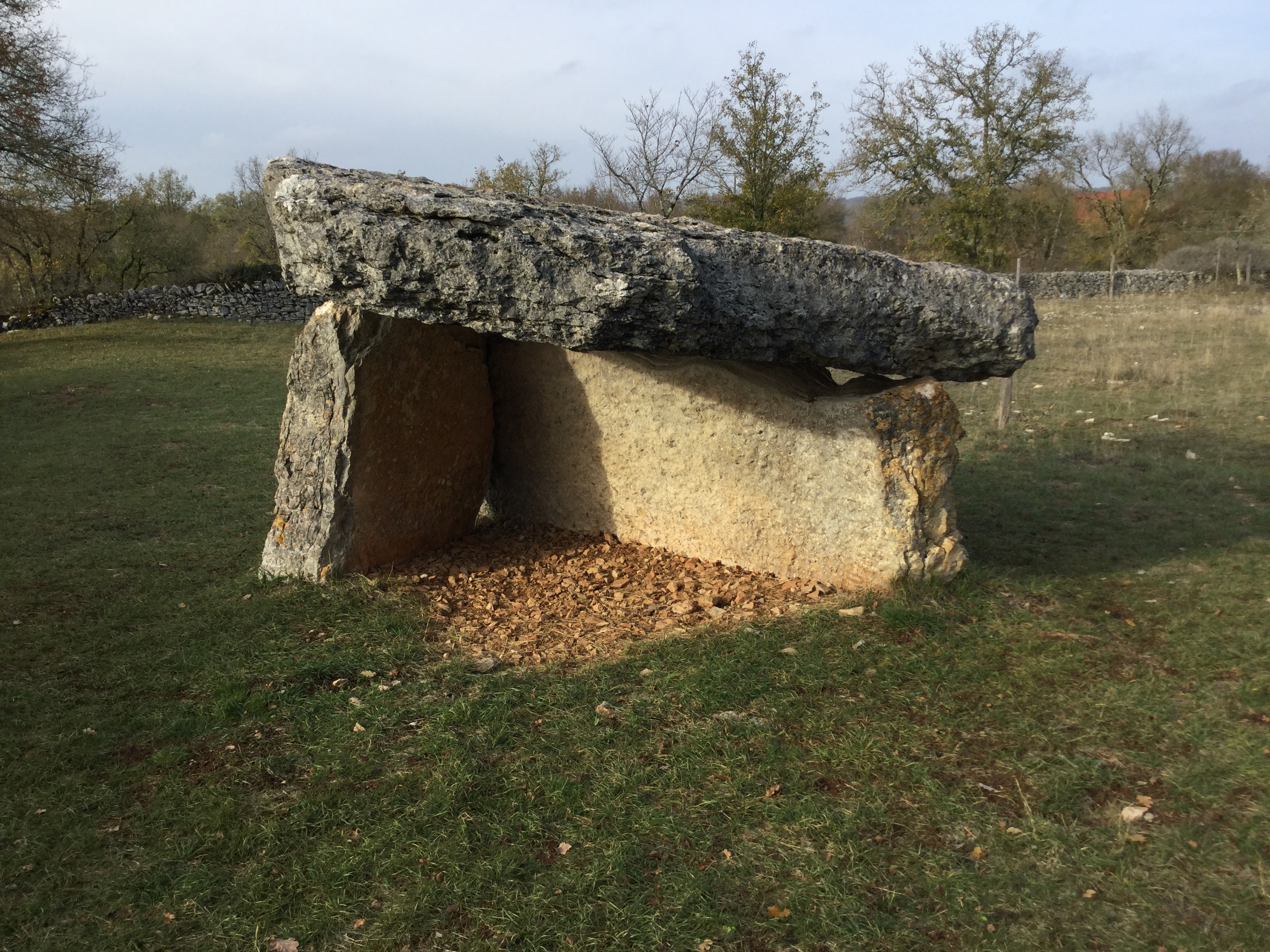
Departing from the archeosite of Les Fieux, this hike is a real journey through time. The route winds along the dolmens of the Causse de Gramat and offers lovely views over the hilly, verdant and bocage landscape.

Already more than 200,000 users!
Uphill
125m
Highest point
338m
Downhill
125m
Lowest point
241m
Route type
Loop
Download the map on your smartphone to save battery and rest assured to always keep access to the route, even without signal.
Includes IGN France and Swisstopo.
2 ratings
Also enjoy:

Already more than 200,000 users!