Uphill
250m
Length
12km
Duration
4h
Elev gain
250m
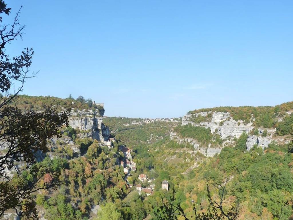
From Rocamadour, here is a superb hike in the Alzou gorges. The beginning of the course is steep in order to reach a plateau, before descending into the gorges. The path then becomes shady and passes by the Saut mill, while skirting the Alzou. A real change of scenery.

Already more than 200,000 users!
Uphill
250m
Highest point
324m
Downhill
250m
Lowest point
132m
Route type
Loop
Download the map on your smartphone to save battery and rest assured to always keep access to the route, even without signal.
Includes IGN France and Swisstopo.
I indicate whether dogs are allowed or prohibited on this trail
All year
4 ratings
Also enjoy:

Already more than 200,000 users!


