Uphill
340m
France > Occitanie > Lot > Causses du Quercy Nature Park
Length
17km
Duration
5h
Elev gain
340m
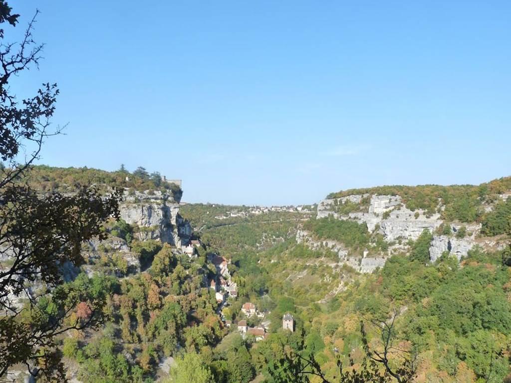
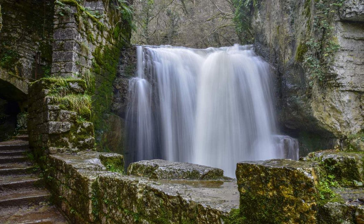
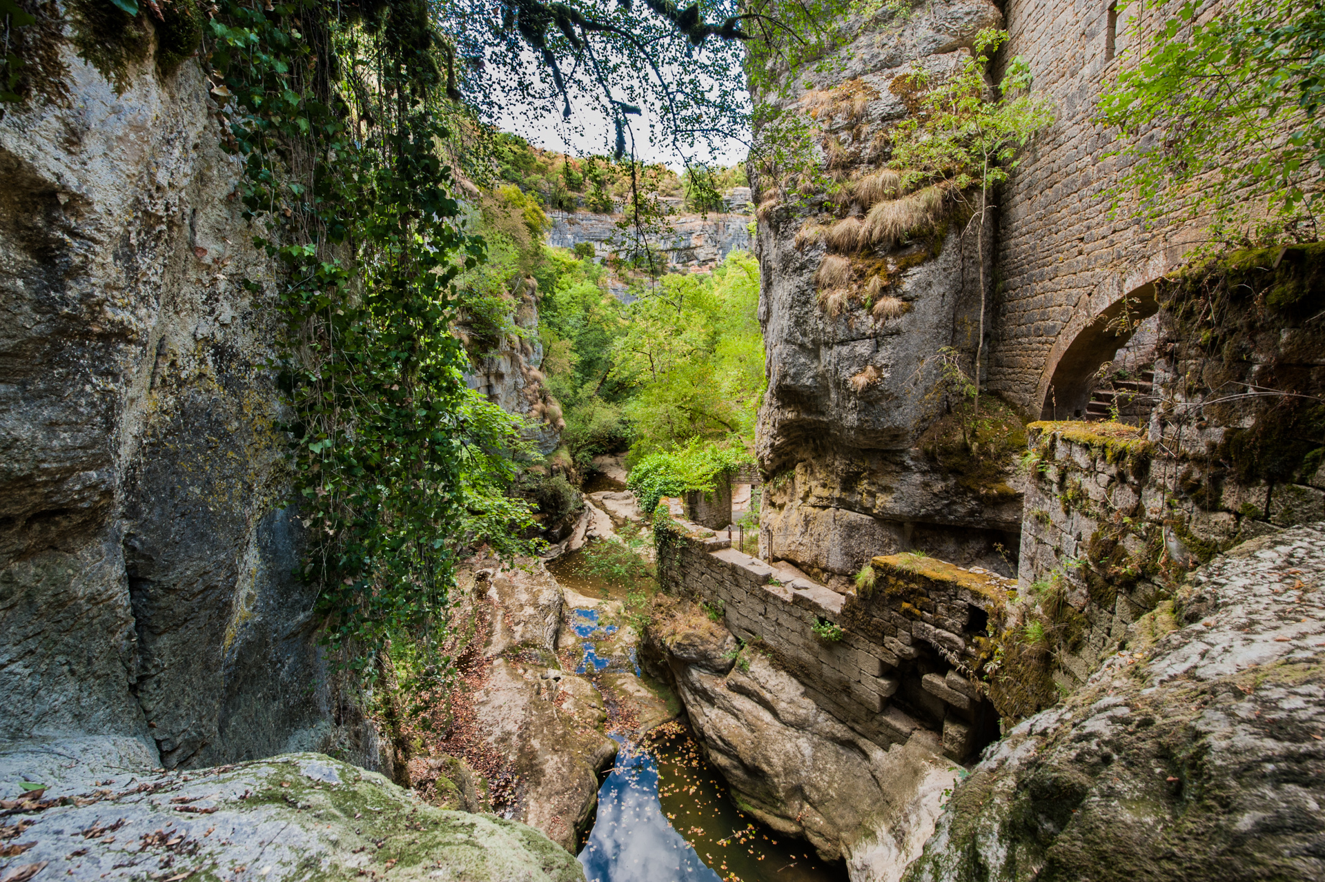
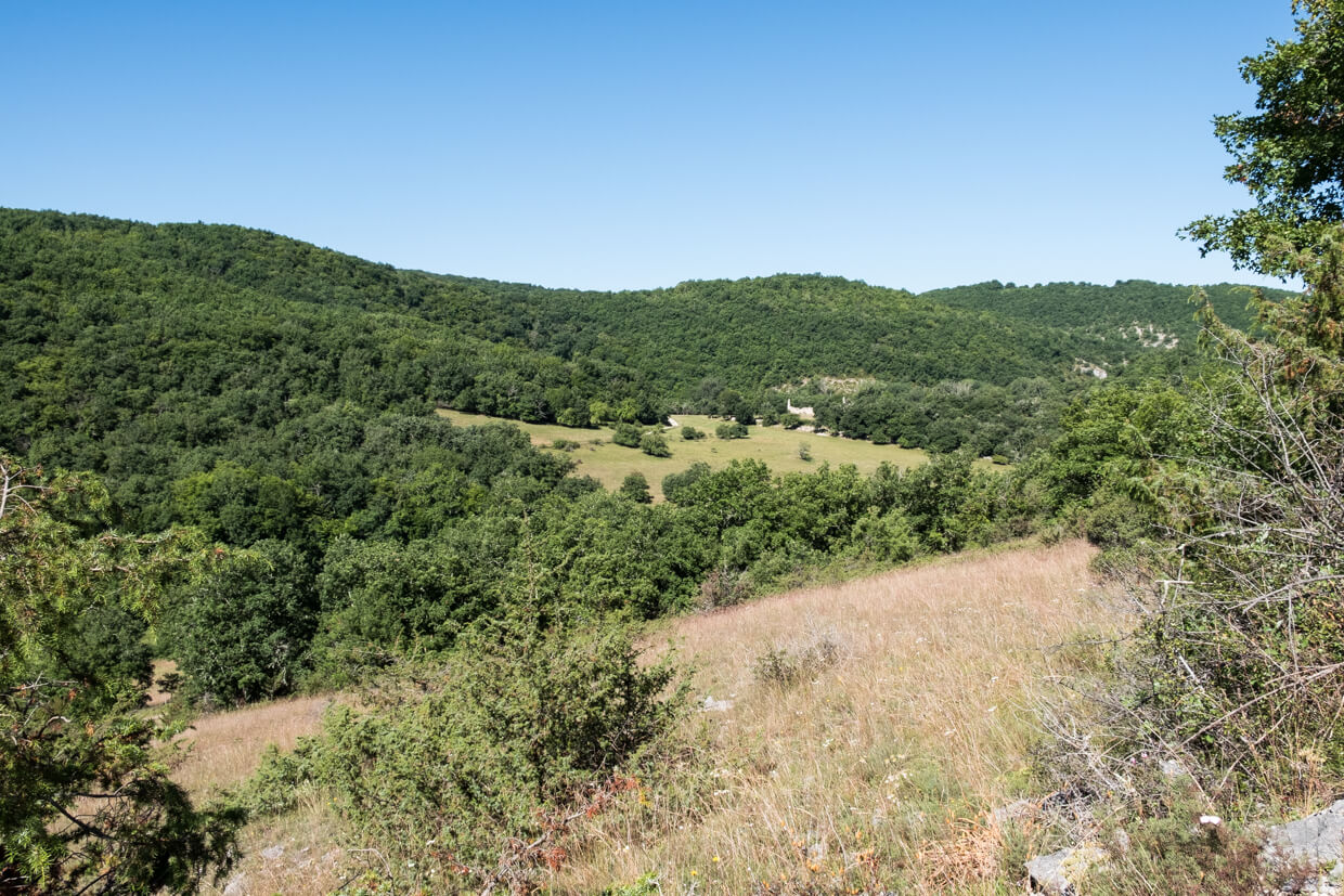
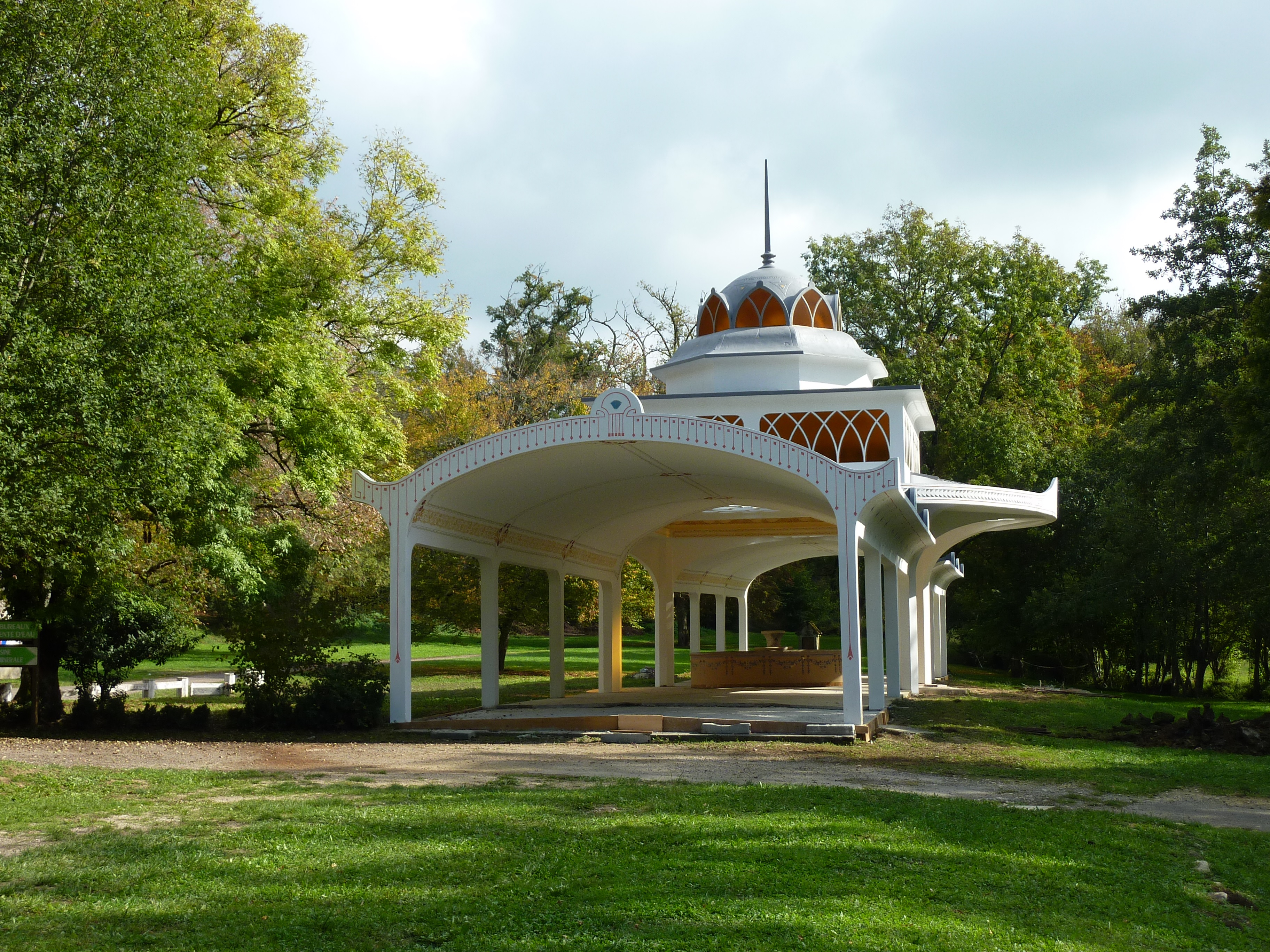
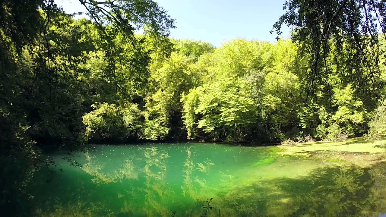
Departing from Rocamadour, this long hike takes place in the heart of two valleys known for the beauty of their landscapes: the Ouysse and the Alzou. The route crosses the villages of Rocamadour and La Fage, then joins the chasm of Saint-Sauveur. It then passes through the source of Cabou, before following the Alzou to the starting point.

Already more than 200,000 users!
Uphill
340m
Highest point
272m
Downhill
340m
Lowest point
107m
Route type
Loop
Download the map on your smartphone to save battery and rest assured to always keep access to the route, even without signal.
Includes IGN France and Swisstopo.
I indicate whether dogs are allowed or prohibited on this trail
All year
0 ratings
Also enjoy:

Already more than 200,000 users!