Get App
Pont du Gard

Pont du Gard

Medium

France > Occitanie > Gard

Exceptional trail

Length

14km

Duration

4h30min

Elev gain

406m


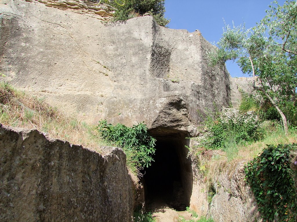
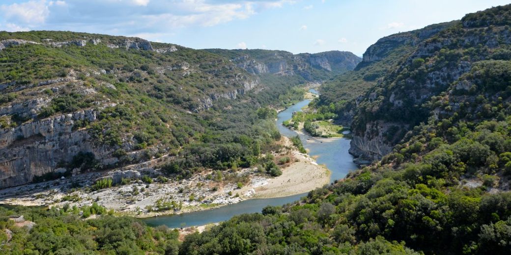
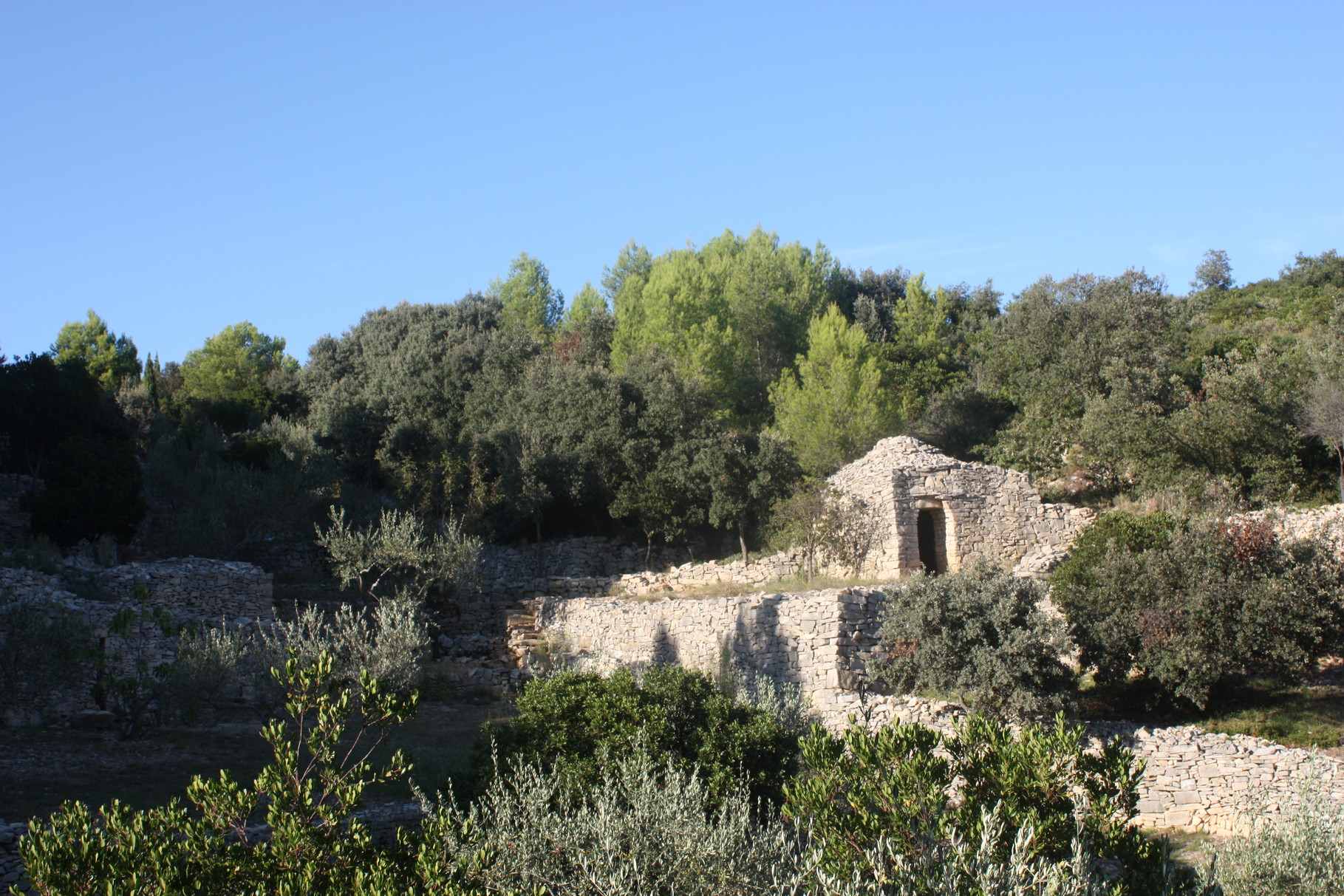
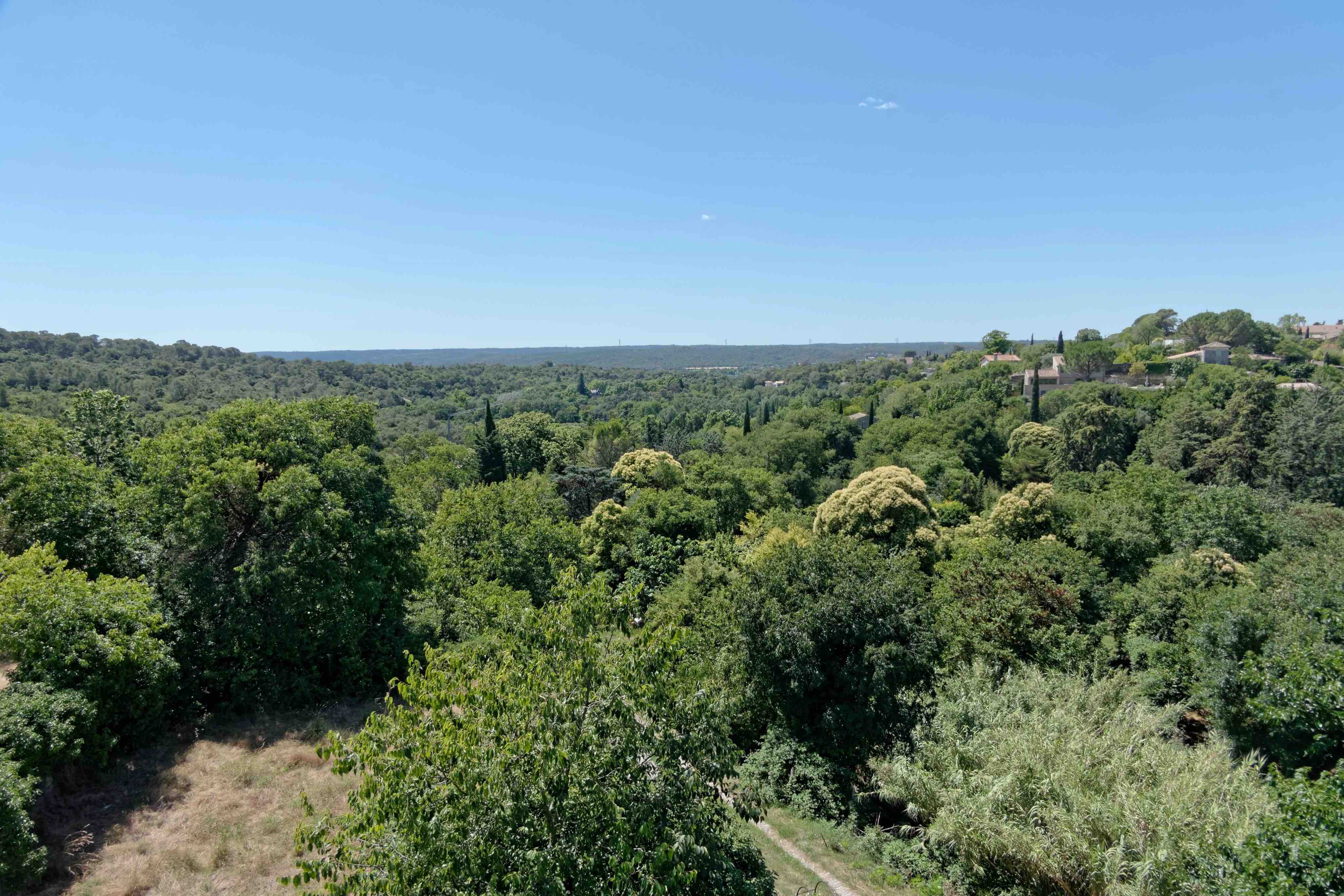
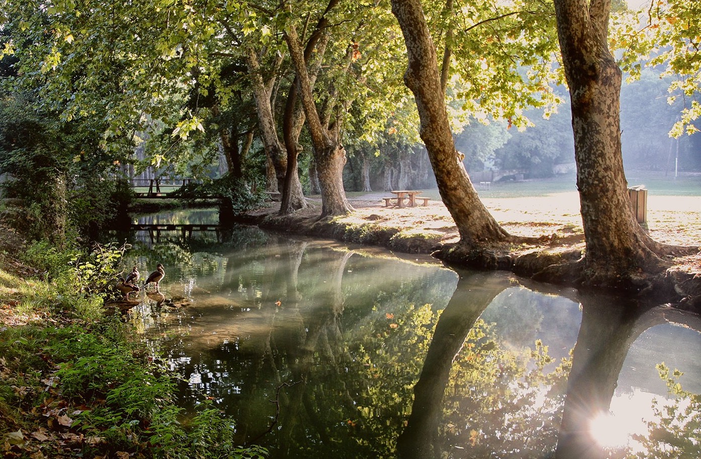
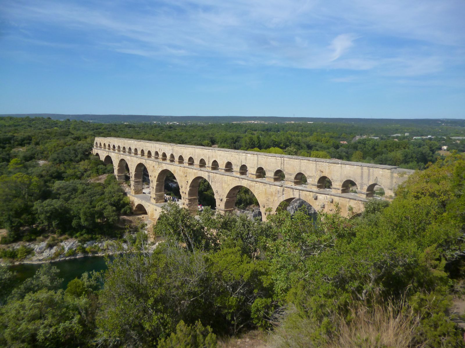
Hike combining both nature and history, departing from Saint-Bonnet-du-Gard.


Directions

A better experience awaits in the app!

  • Detailed offline maps including IGN
  • Trail recording
  • Exclusive content, and more!
Hika app
Download app

Already more than 200,000 users!

Map and elevation

Elevation

14.1km 16m

Uphill

406m

Highest point

142m

Downhill

406m

Lowest point

16m

Route type

Loop

Offline

Download the map on your smartphone to save battery and rest assured to always keep access to the route, even without signal.

Includes IGN France and Swisstopo.

Getting there

Parking de la mairie.

Get directions

About this trail

Dogs

Authorised on a leash


Equipment

Check Hika’s packing guide


Season

All year

Reviews


Ratings summary

Excellent
1
Good
0
Average
0
Disappointing
0
Terrible
0

1 rating