Uphill
146m
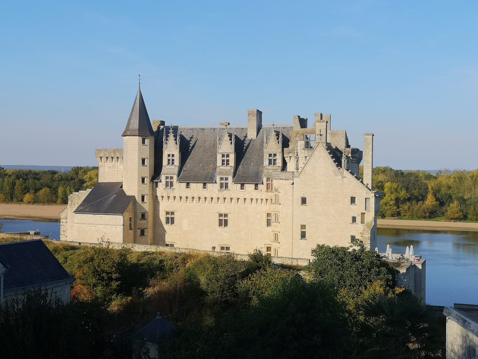
France > Pays de la Loire > Maine-et-Loire > Loire-Anjou-Touraine Nature Park
Length
9km
Duration
2h30min
Elev gain
146m
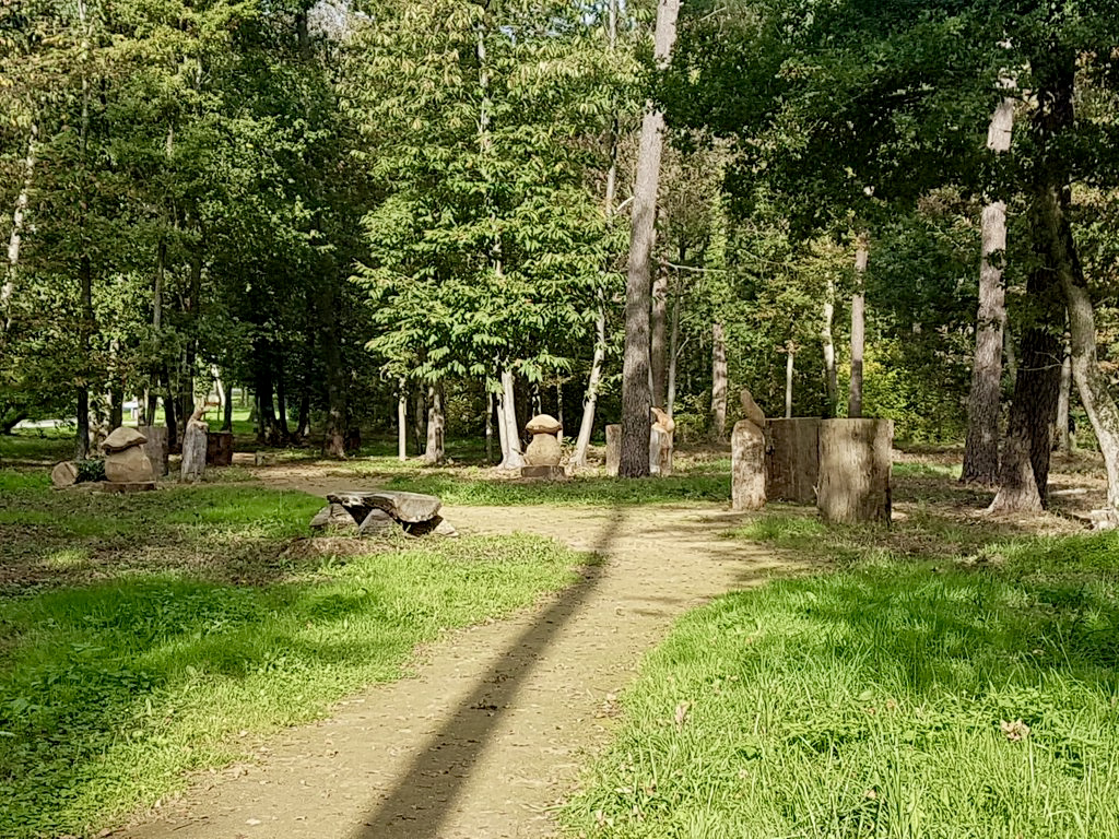
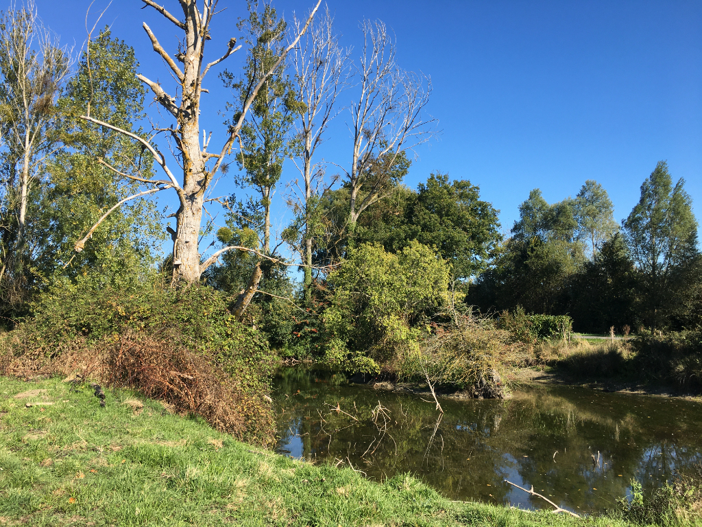
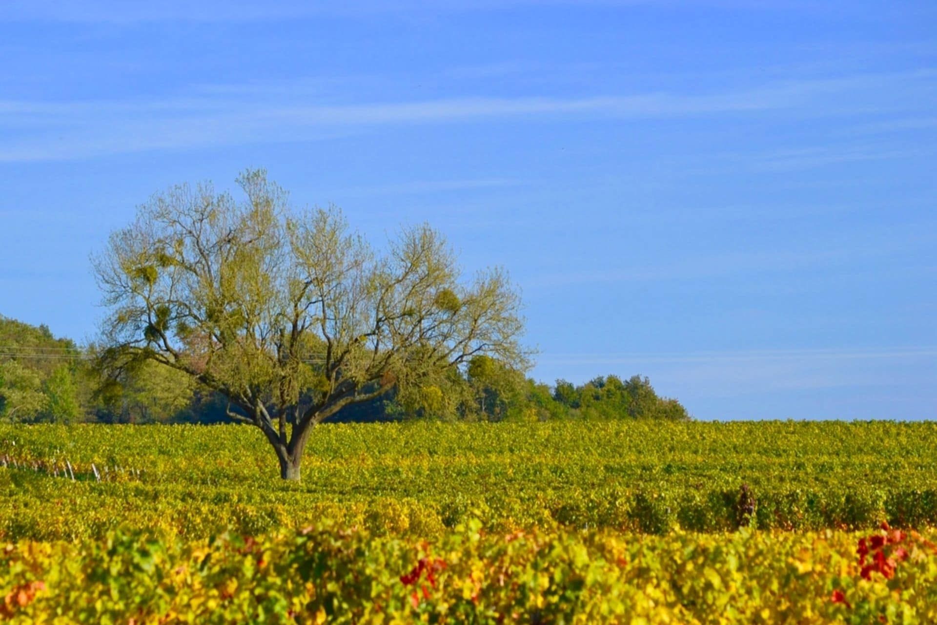
This route from Varrains takes place largely in the middle of the vineyards, with some passages in the undergrowth. All on small paths.

Already more than 200,000 users!
Uphill
146m
Highest point
112m
Downhill
146m
Lowest point
38m
Route type
Loop
Download the map on your smartphone to save battery and rest assured to always keep access to the route, even without signal.
Includes IGN France and Swisstopo.
I indicate whether dogs are allowed or prohibited on this trail
All year
0 ratings
Also enjoy:

Already more than 200,000 users!