Uphill
163m
France > Pays de la Loire > Maine-et-Loire > Loire-Anjou-Touraine Nature Park
Length
9km
Duration
2h30min
Elev gain
163m
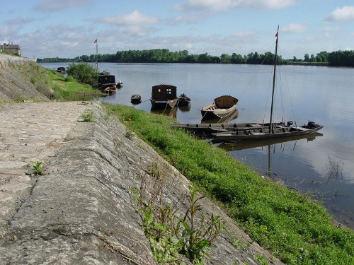
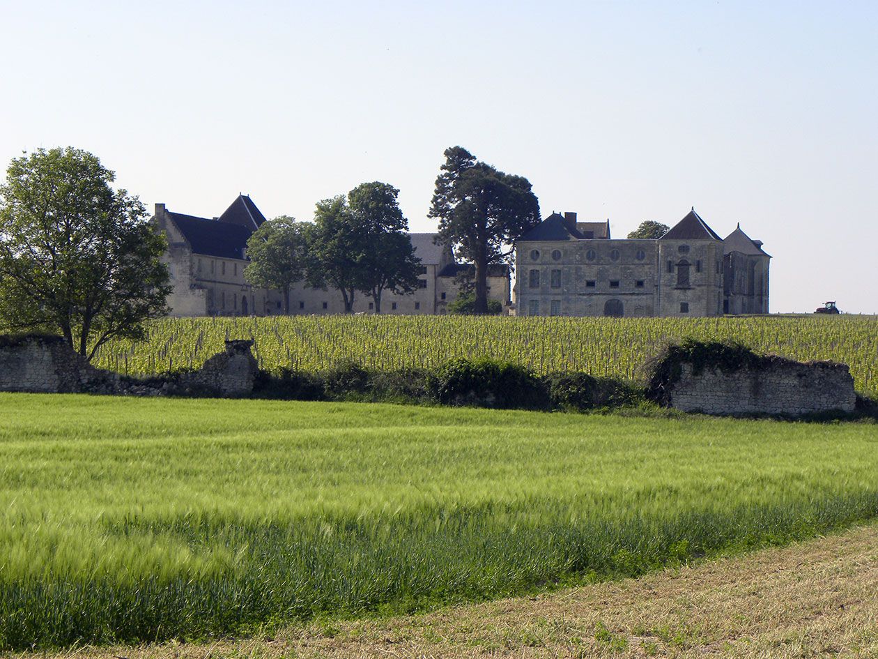
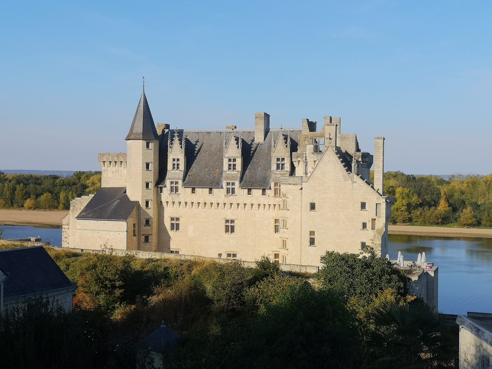
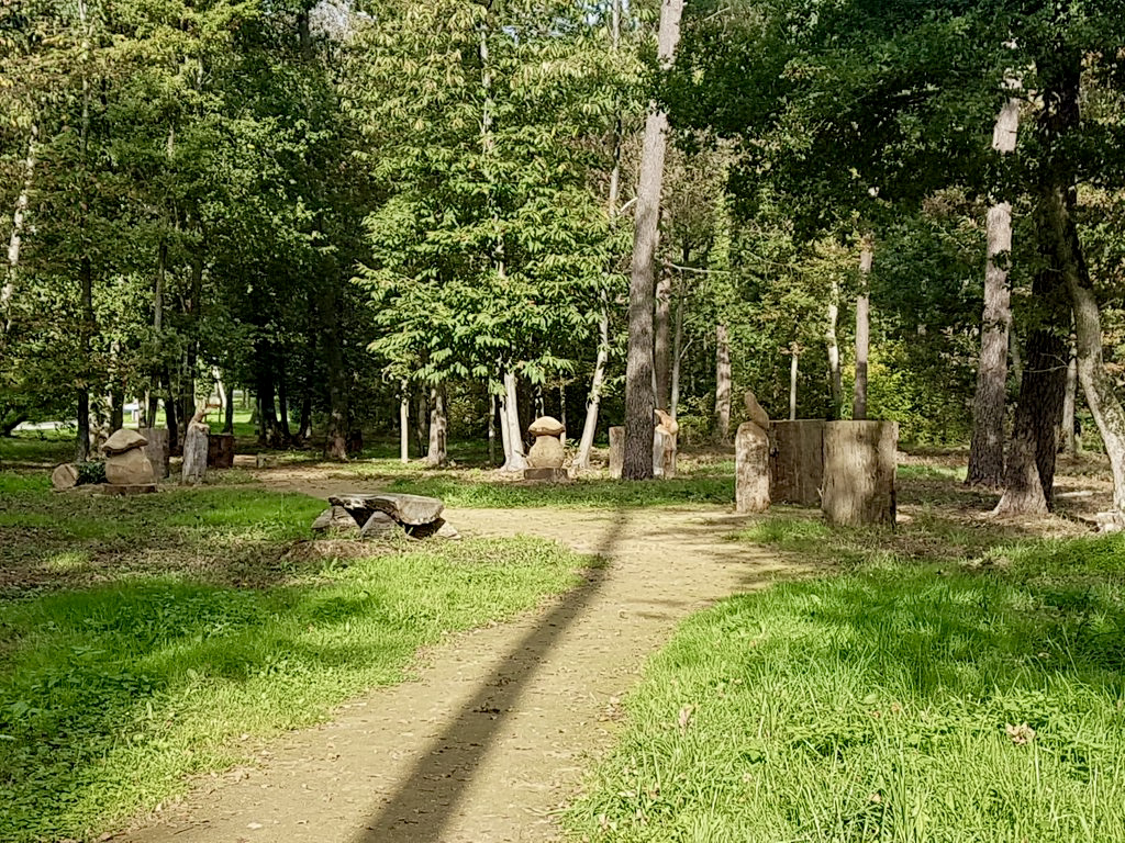
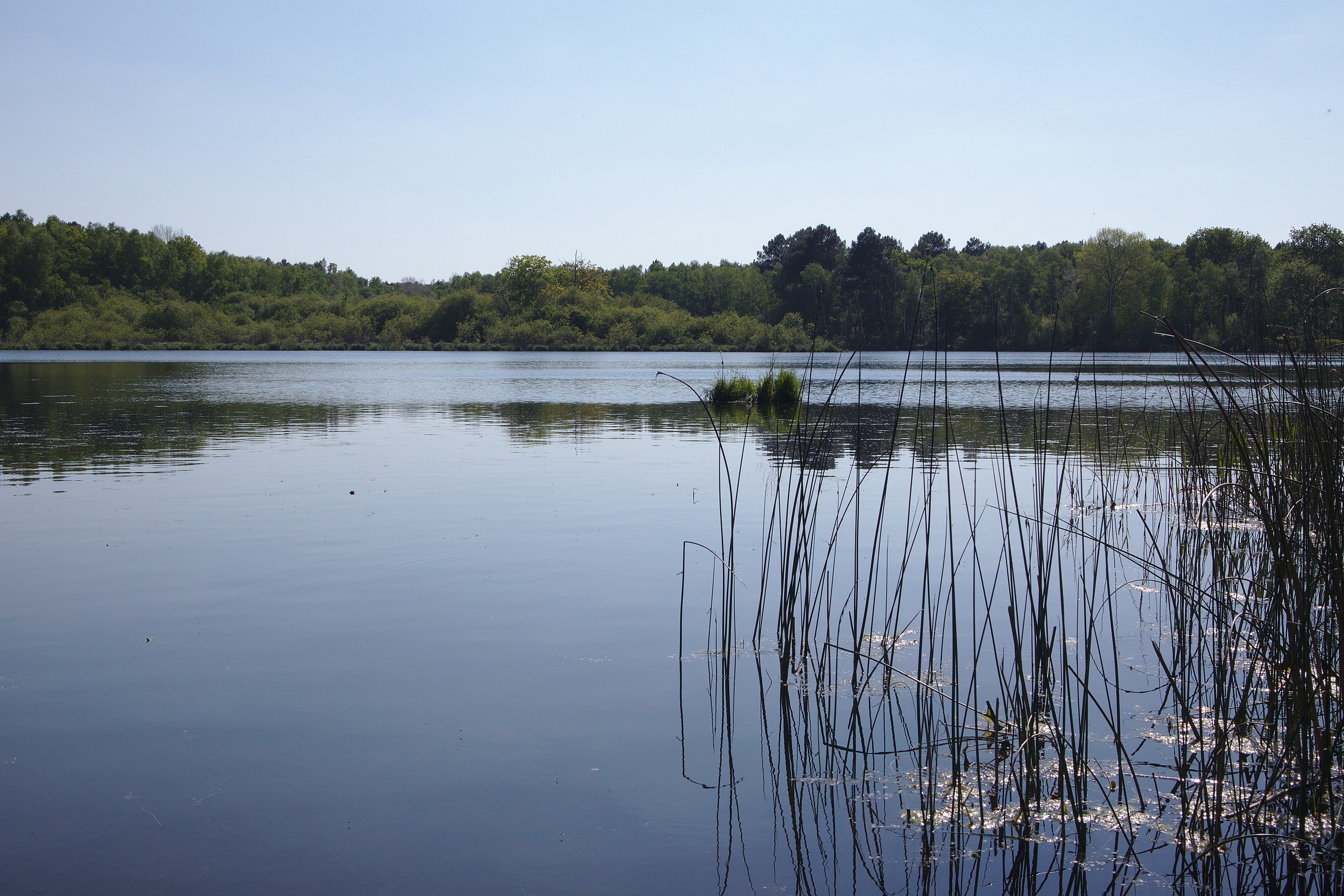
Departing from Cunault, on the banks of the Loire, this hike allows you to climb in the forest and reach the regional nature reserve of Joreau, including a pretty pond. The walk also offers views on the Loire.

Already more than 200,000 users!
Uphill
163m
Highest point
111m
Downhill
163m
Lowest point
15m
Route type
Loop
Download the map on your smartphone to save battery and rest assured to always keep access to the route, even without signal.
Includes IGN France and Swisstopo.
I indicate whether dogs are allowed or prohibited on this trail
All year
1 rating
Génial super rando
Also enjoy:

Already more than 200,000 users!