Uphill
111m
France > Pays de la Loire > Maine-et-Loire > Loire-Anjou-Touraine Nature Park
Length
13km
Duration
3h30min
Elev gain
111m
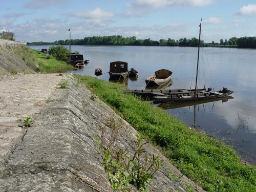
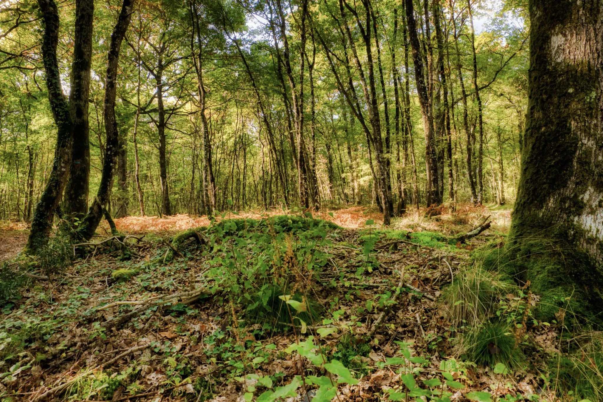
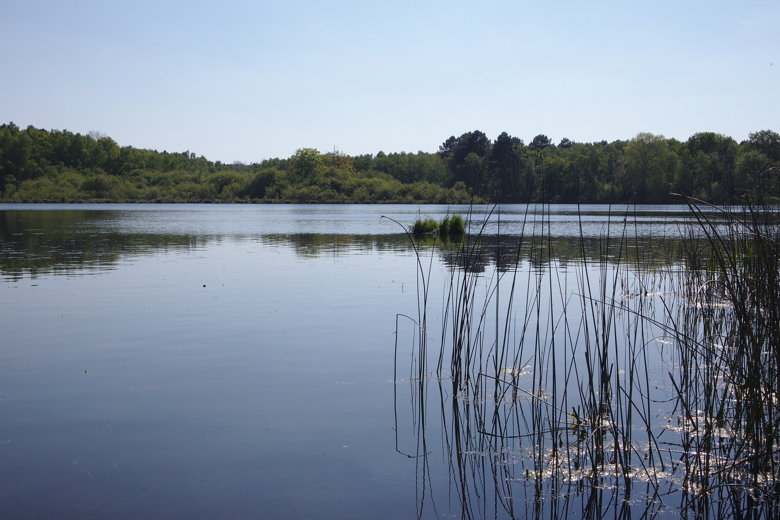
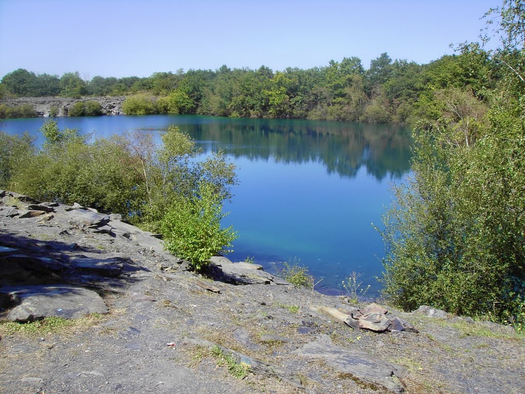
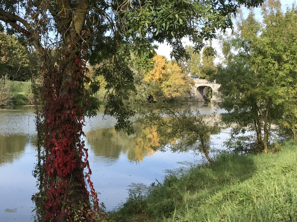
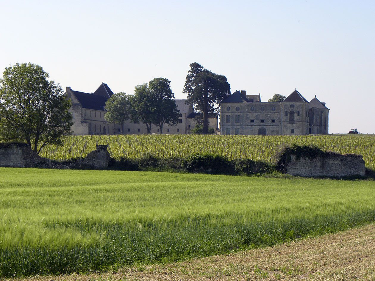
Departing from Grézillé, here is a path between vines and woods on hilly terrain.
The points of interest on the way: troglodyte caves, a mill, and the castle of Pimpéan.

Already more than 200,000 users!
Uphill
111m
Highest point
106m
Downhill
111m
Lowest point
51m
Route type
Loop
Download the map on your smartphone to save battery and rest assured to always keep access to the route, even without signal.
Includes IGN France and Swisstopo.
I indicate whether dogs are allowed or prohibited on this trail
All year
0 ratings
Also enjoy:

Already more than 200,000 users!