Uphill
20m
Length
9km
Duration
2h30min
Elev gain
20m
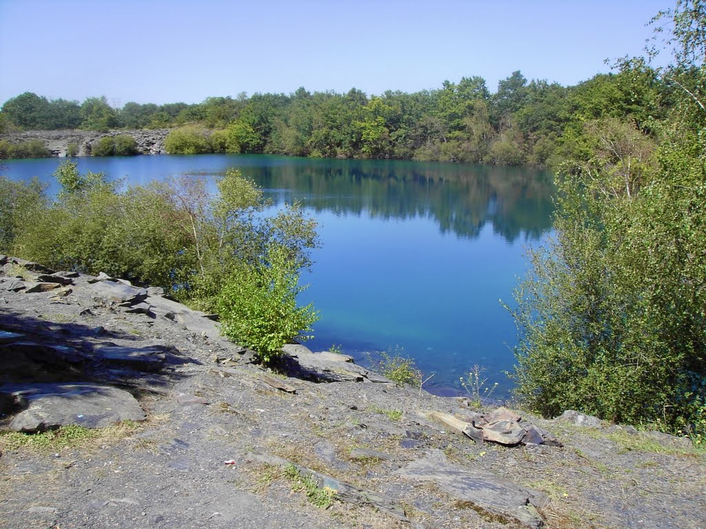
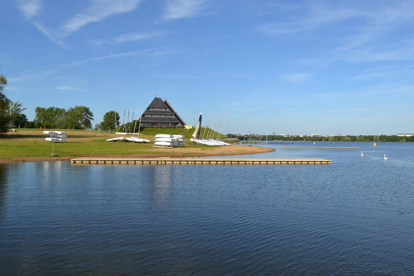
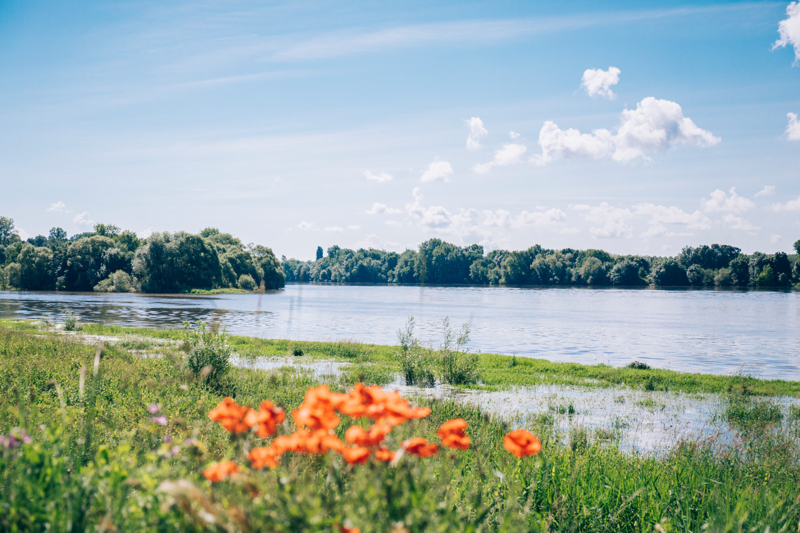
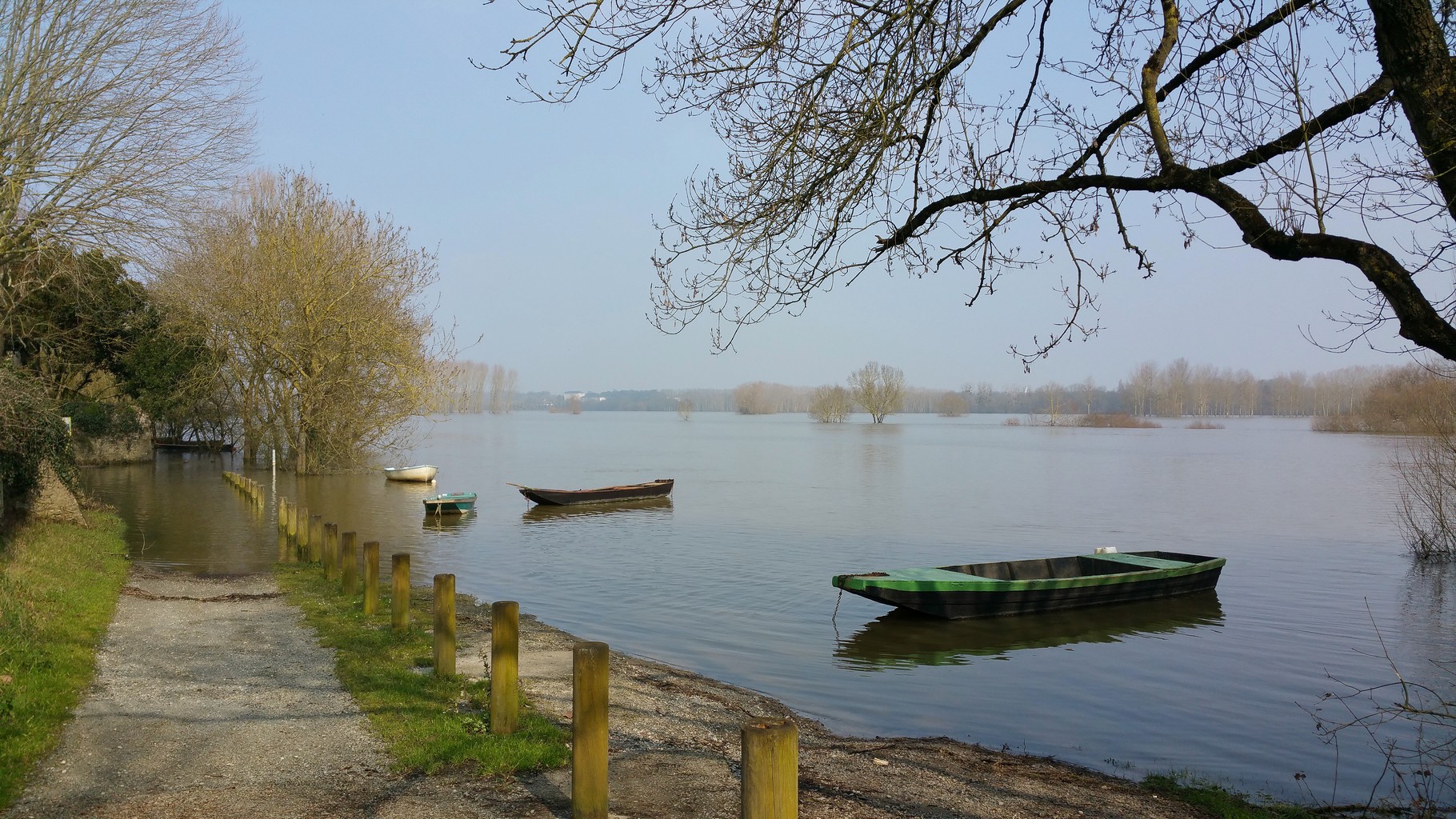
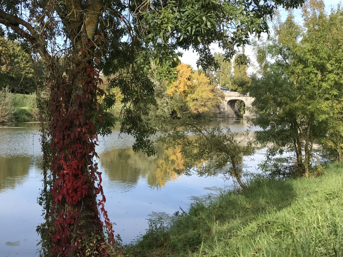
Walk along the Authion river, bordered by fields and the Sorges pit. It is possible to see many species of birds, including herons and cormorants.

Already more than 200,000 users!
Uphill
20m
Highest point
29m
Downhill
20m
Lowest point
12m
Route type
There and back
Download the map on your smartphone to save battery and rest assured to always keep access to the route, even without signal.
Includes IGN France and Swisstopo.
I indicate whether dogs are allowed or prohibited on this trail
All year
1 rating
Also enjoy:

Already more than 200,000 users!