Uphill
13m
Length
11km
Duration
3h
Elev gain
13m
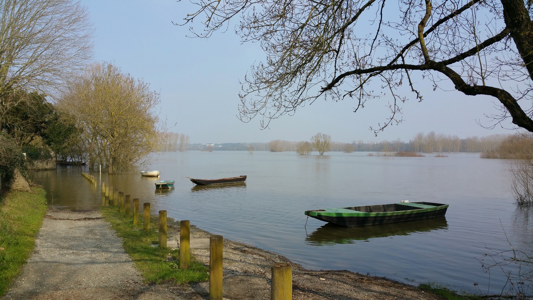
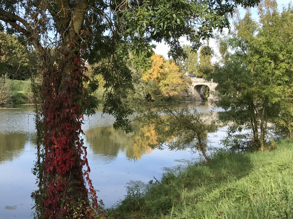
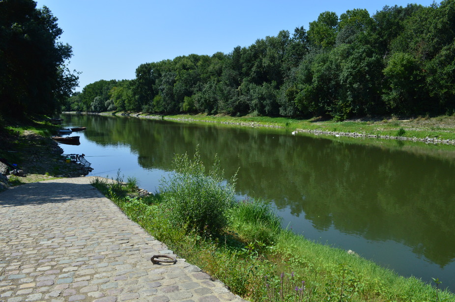
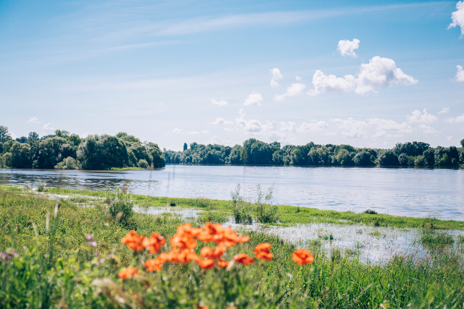
Stroll through the flood prairies of La Baumette and Ile Chevrière, which is no longer an island since it drained several centuries ago. Nice panorama at the confluence of the Maine and the Loire.

Already more than 200,000 users!
Uphill
13m
Highest point
23m
Downhill
13m
Lowest point
8m
Route type
Loop
Download the map on your smartphone to save battery and rest assured to always keep access to the route, even without signal.
Includes IGN France and Swisstopo.
I indicate whether dogs are allowed or prohibited on this trail
All year
0 ratings
Also enjoy:

Already more than 200,000 users!