Uphill
132m
Length
9km
Duration
2h30min
Elev gain
132m
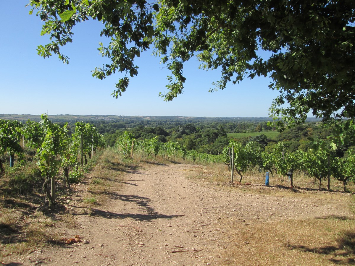
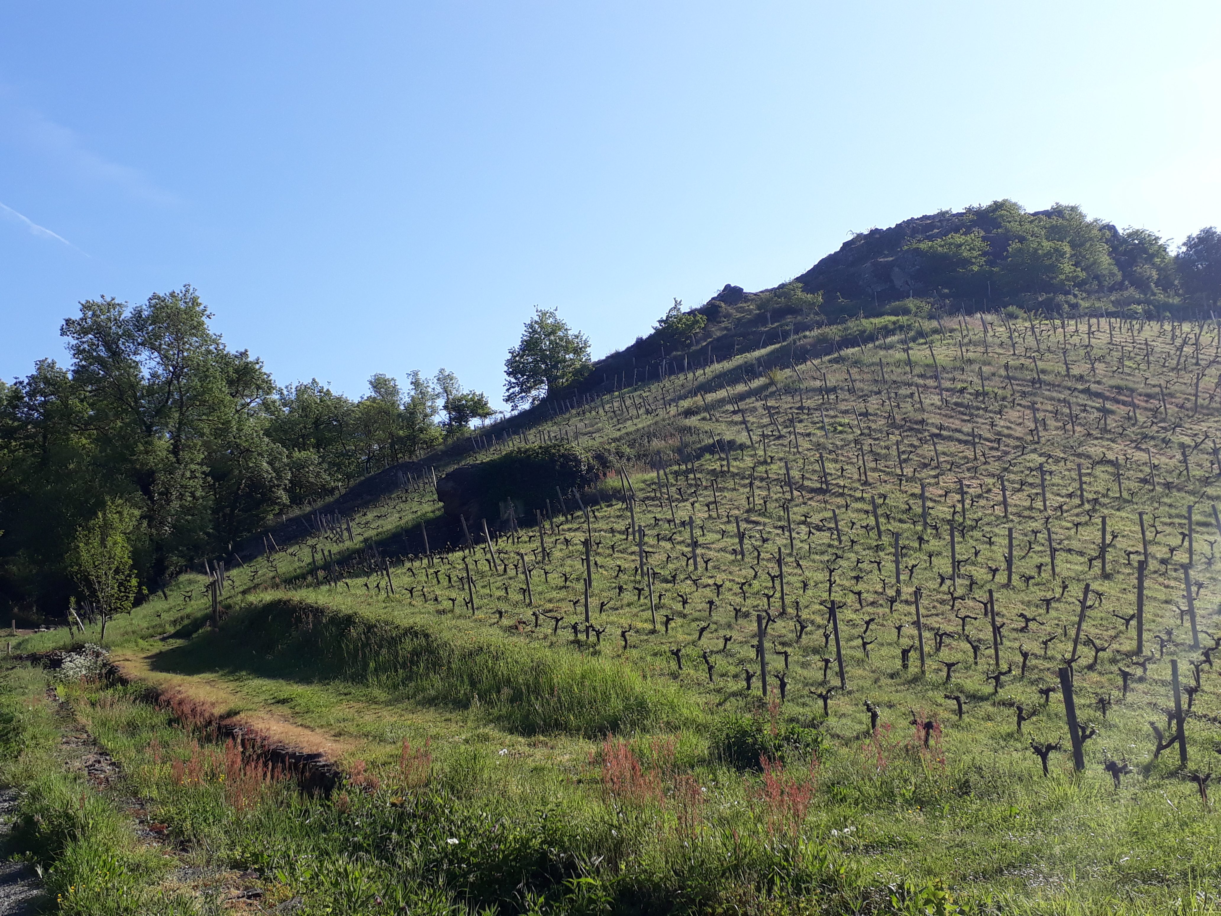
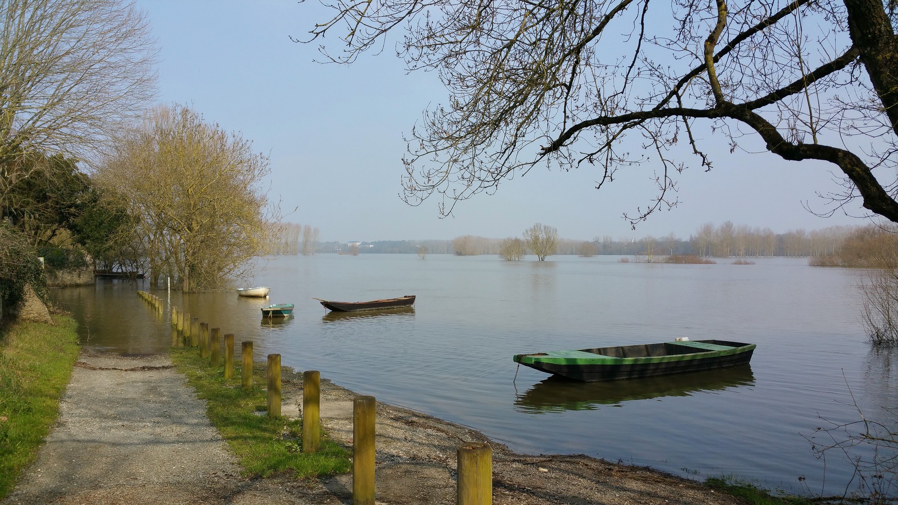
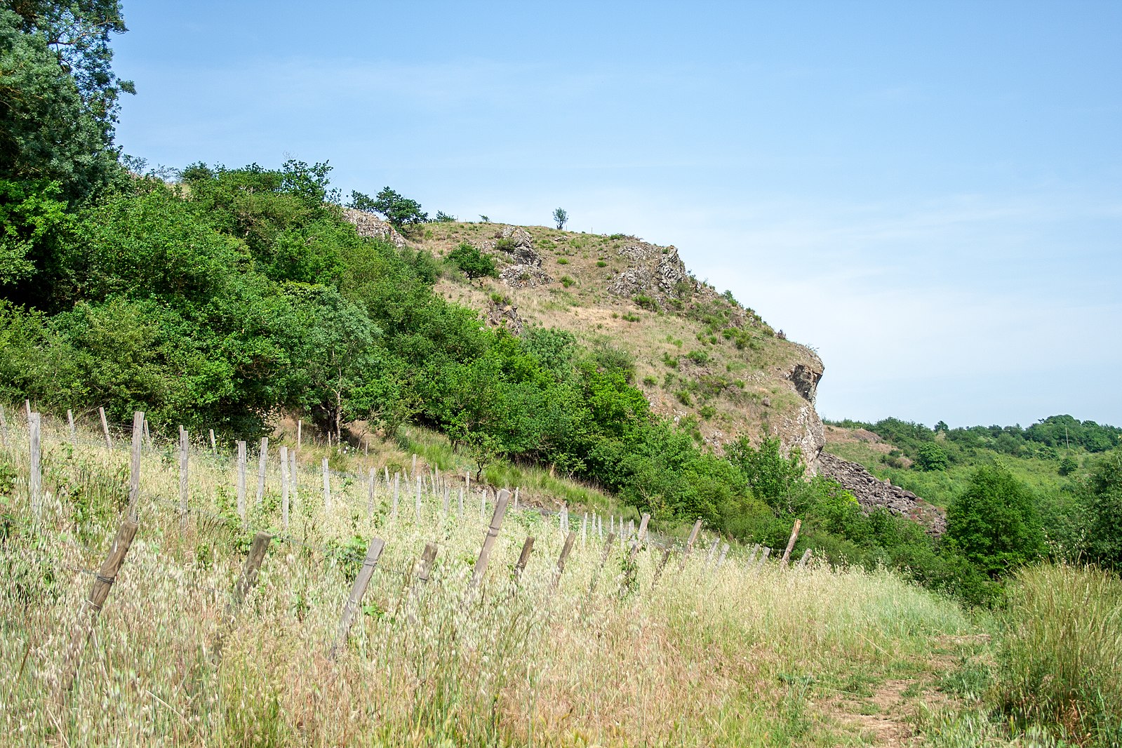
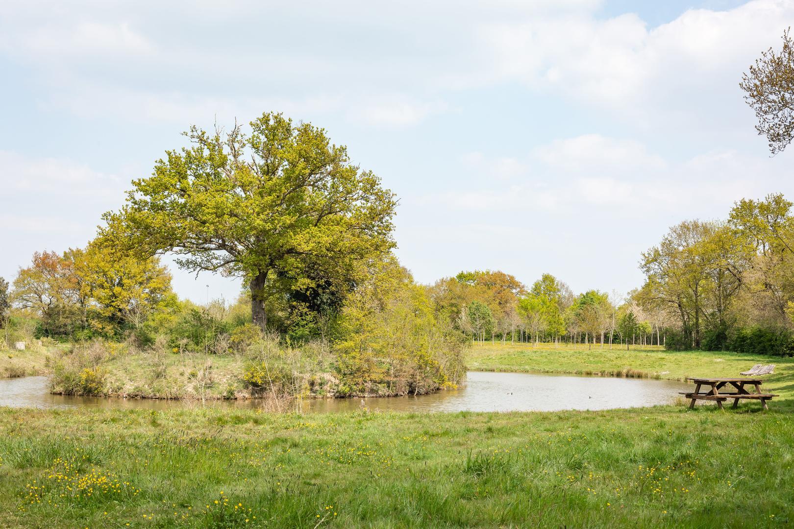
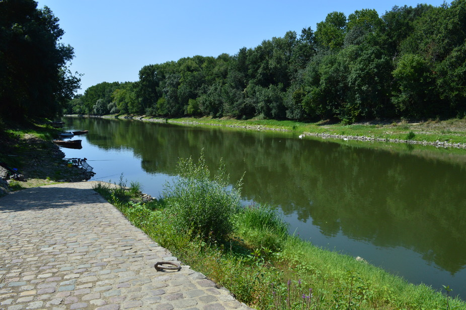
Tour of an island on the Loire listed as a UNESCO World Heritage Site, using both paths and small roads.

Already more than 200,000 users!
Uphill
132m
Highest point
52m
Downhill
132m
Lowest point
3m
Route type
Loop
Download the map on your smartphone to save battery and rest assured to always keep access to the route, even without signal.
Includes IGN France and Swisstopo.
I indicate whether dogs are allowed or prohibited on this trail
All year
1 rating
Also enjoy:

Already more than 200,000 users!