Uphill
134m
Length
10km
Duration
2h30min
Elev gain
134m
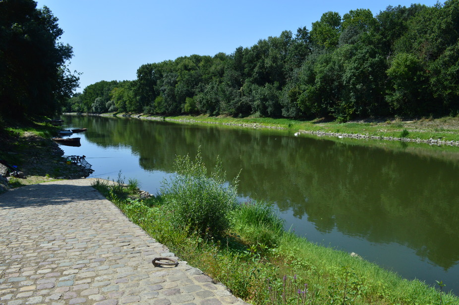
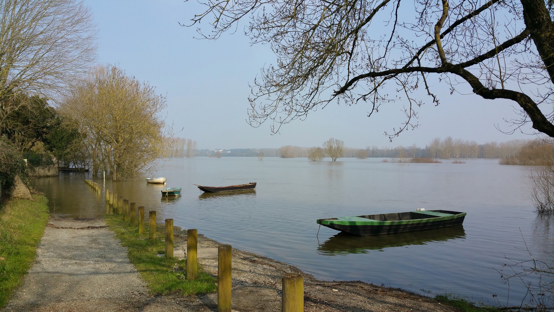
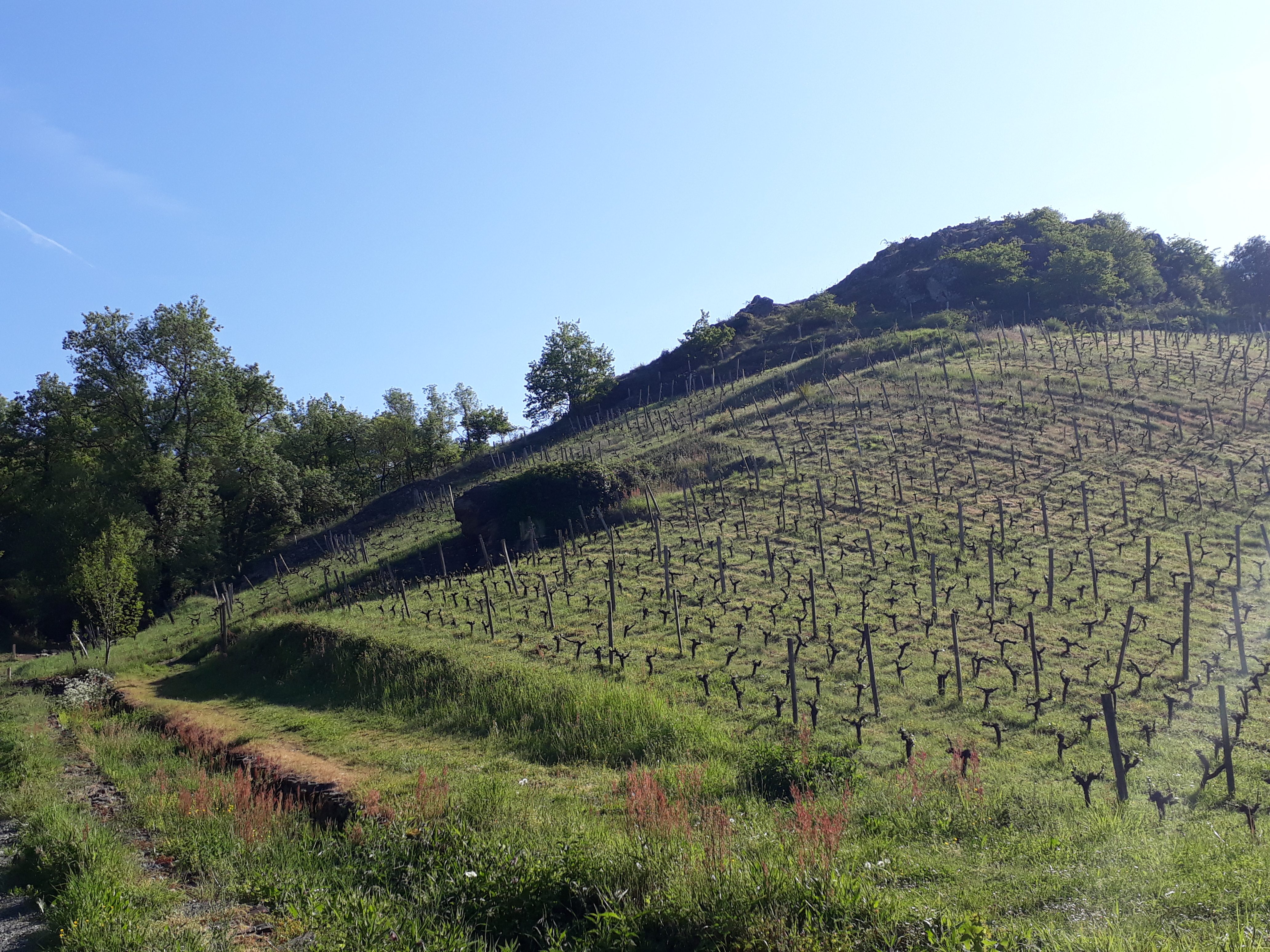
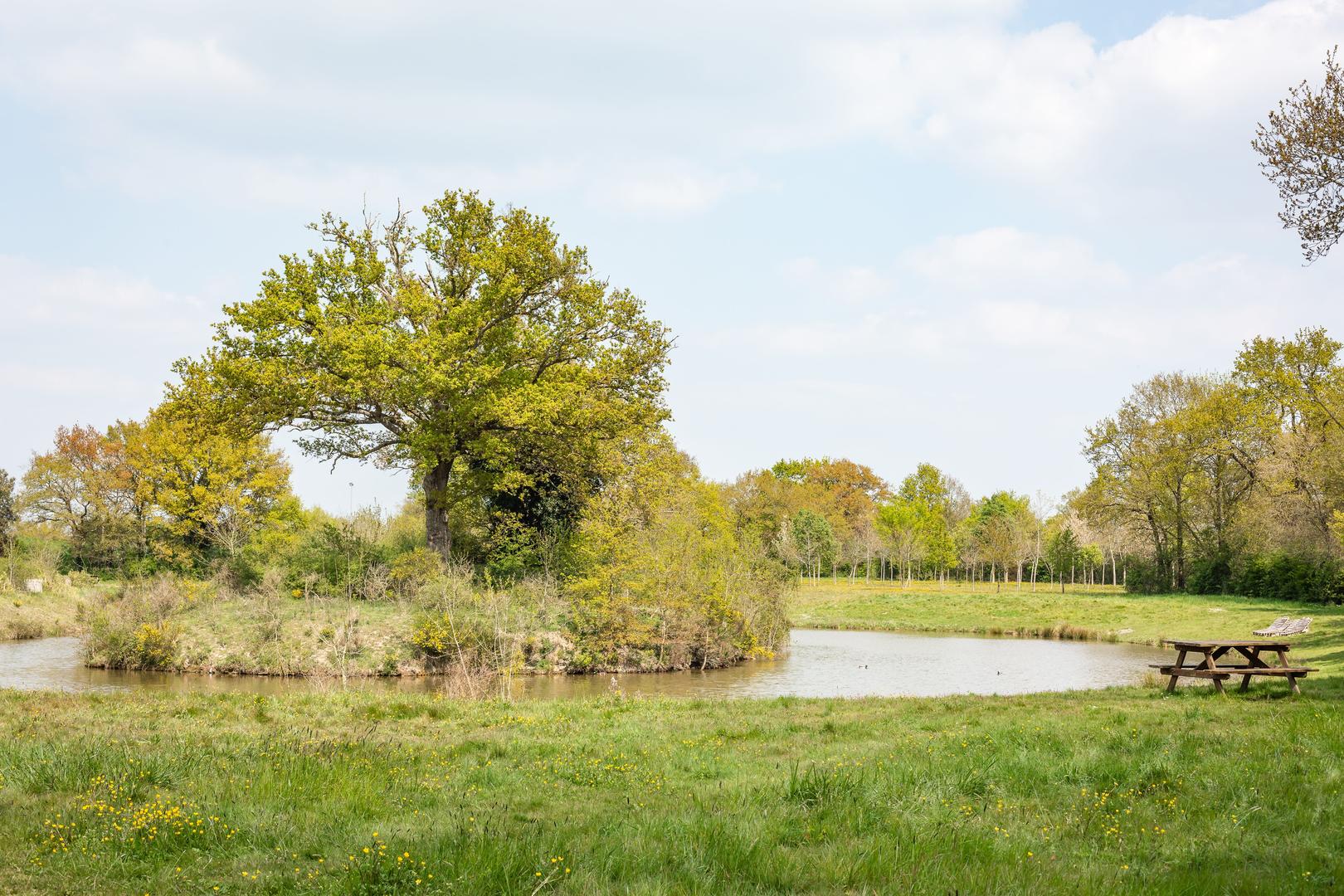
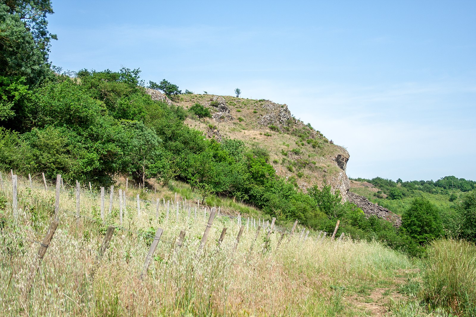
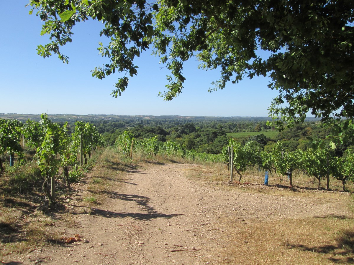
Departing from Savennières, this hike begins on the heights of Savennières before returning to the starting point by the banks of the Loire. The course is done in a pleasant setting, between vineyards, banks and forest.

Already more than 200,000 users!
Uphill
134m
Highest point
79m
Downhill
134m
Lowest point
6m
Route type
Loop
Download the map on your smartphone to save battery and rest assured to always keep access to the route, even without signal.
Includes IGN France and Swisstopo.
I indicate whether dogs are allowed or prohibited on this trail
All year
0 ratings
Also enjoy:

Already more than 200,000 users!