Uphill
120m
Length
11km
Duration
3h
Elev gain
120m
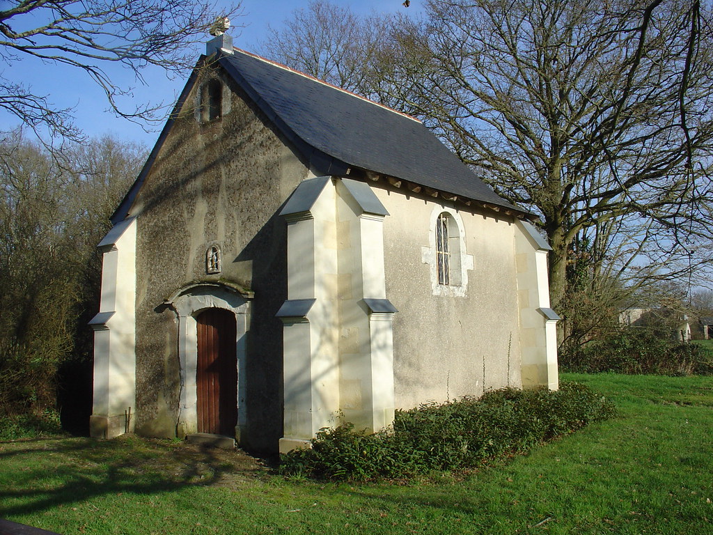
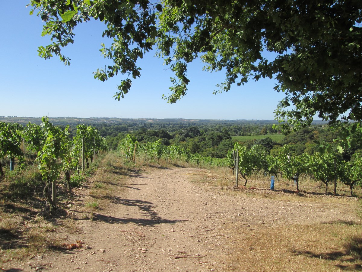
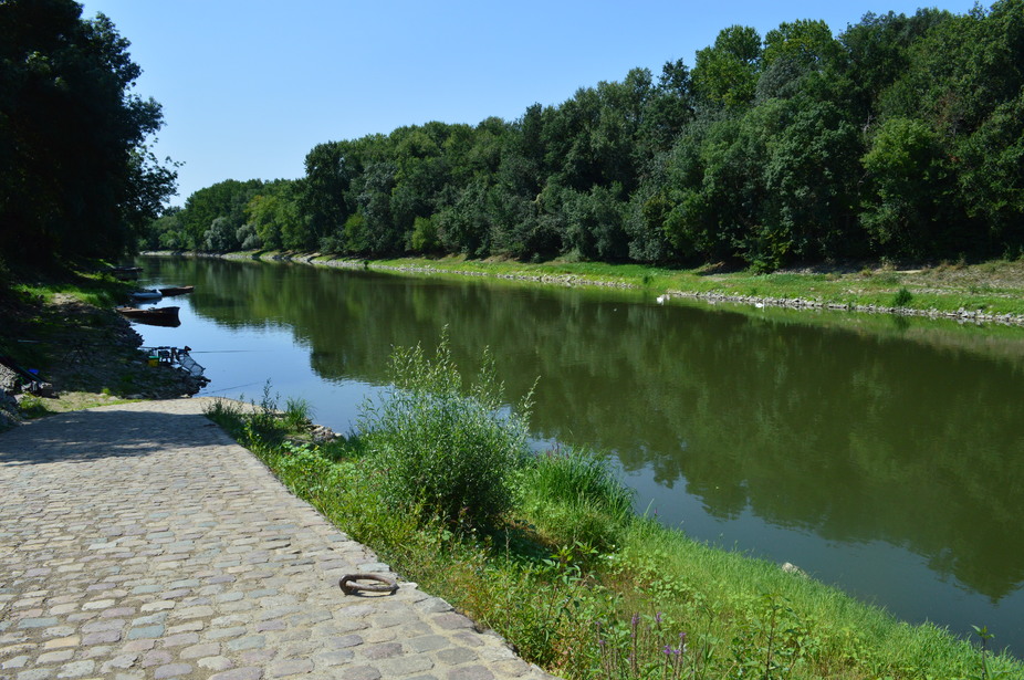
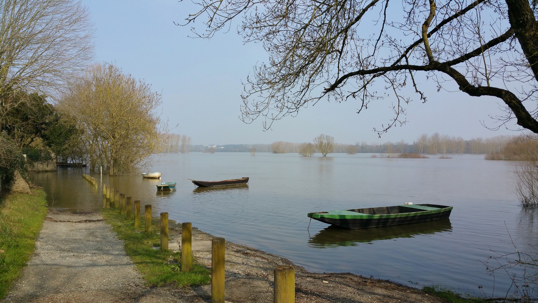
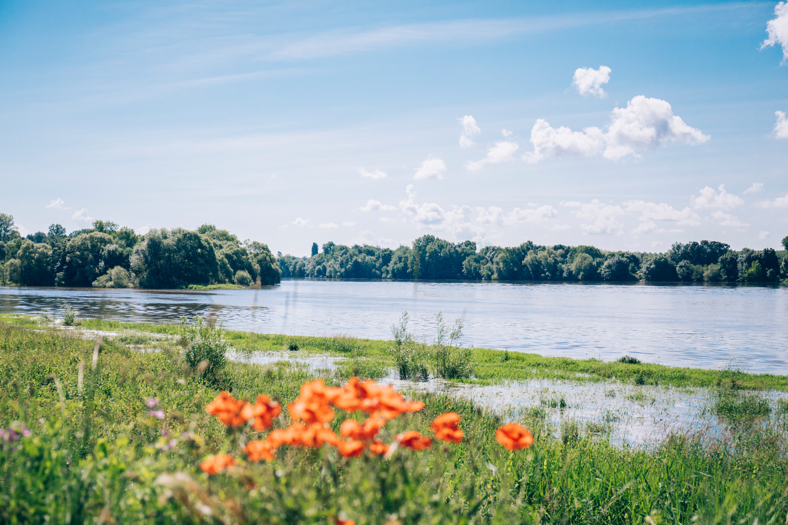
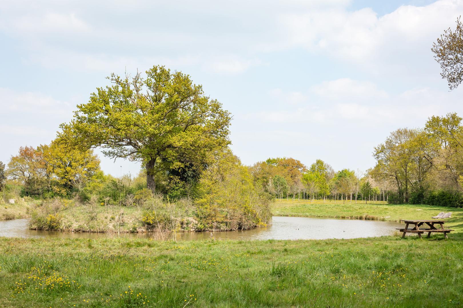
This walk begins in the heart of Saint-Martin-du-Fouilloux. The route goes through the Flageolet pond then through the woods of Petit Fouilloux and Chênes-Ronds before reaching the starting point. A beautiful walk in a pleasant setting but which still takes a few sections of road.

Already more than 200,000 users!
Uphill
120m
Highest point
92m
Downhill
120m
Lowest point
49m
Route type
Loop
Download the map on your smartphone to save battery and rest assured to always keep access to the route, even without signal.
Includes IGN France and Swisstopo.
I indicate whether dogs are allowed or prohibited on this trail
All year
0 ratings
Also enjoy:

Already more than 200,000 users!