Uphill
45m
Length
5km
Duration
1h30min
Elev gain
45m
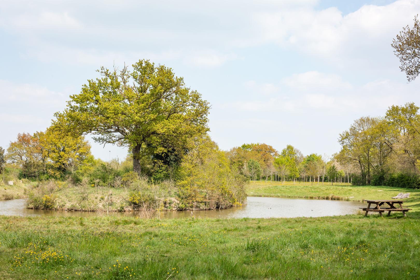
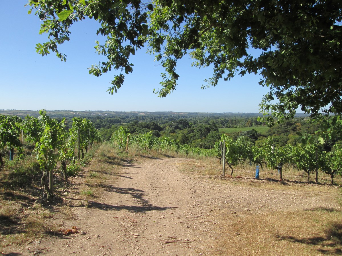
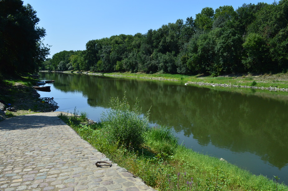
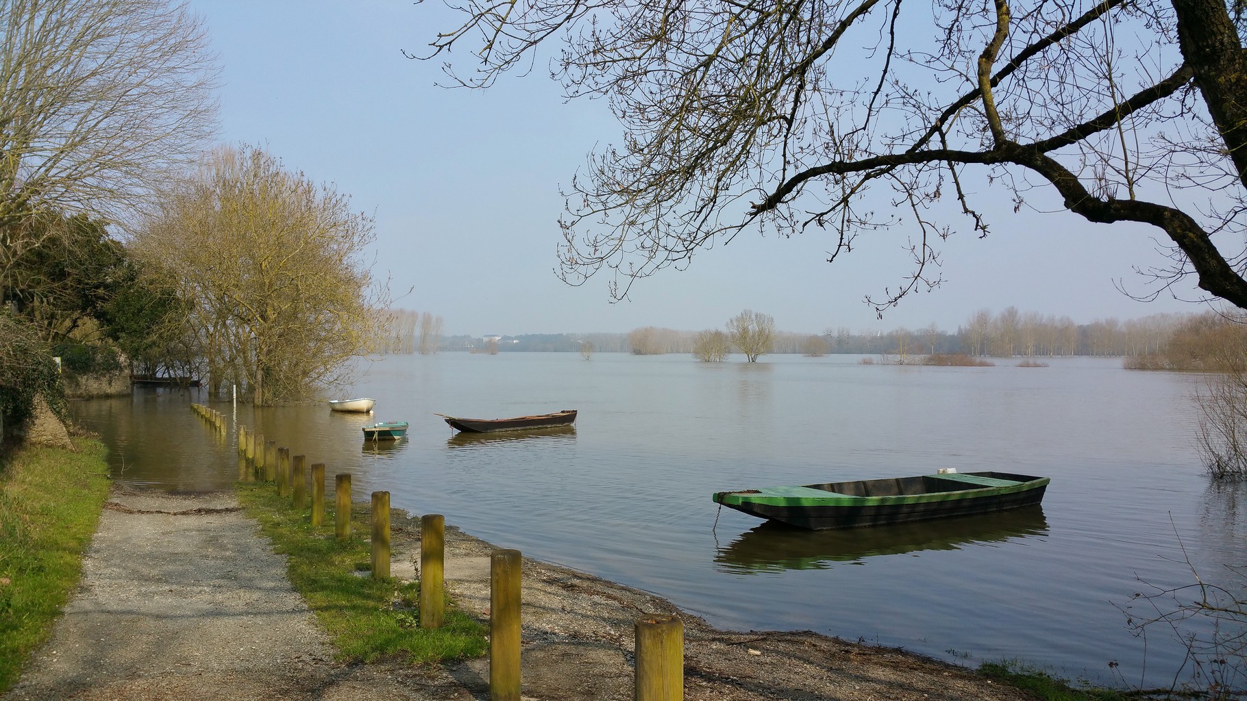
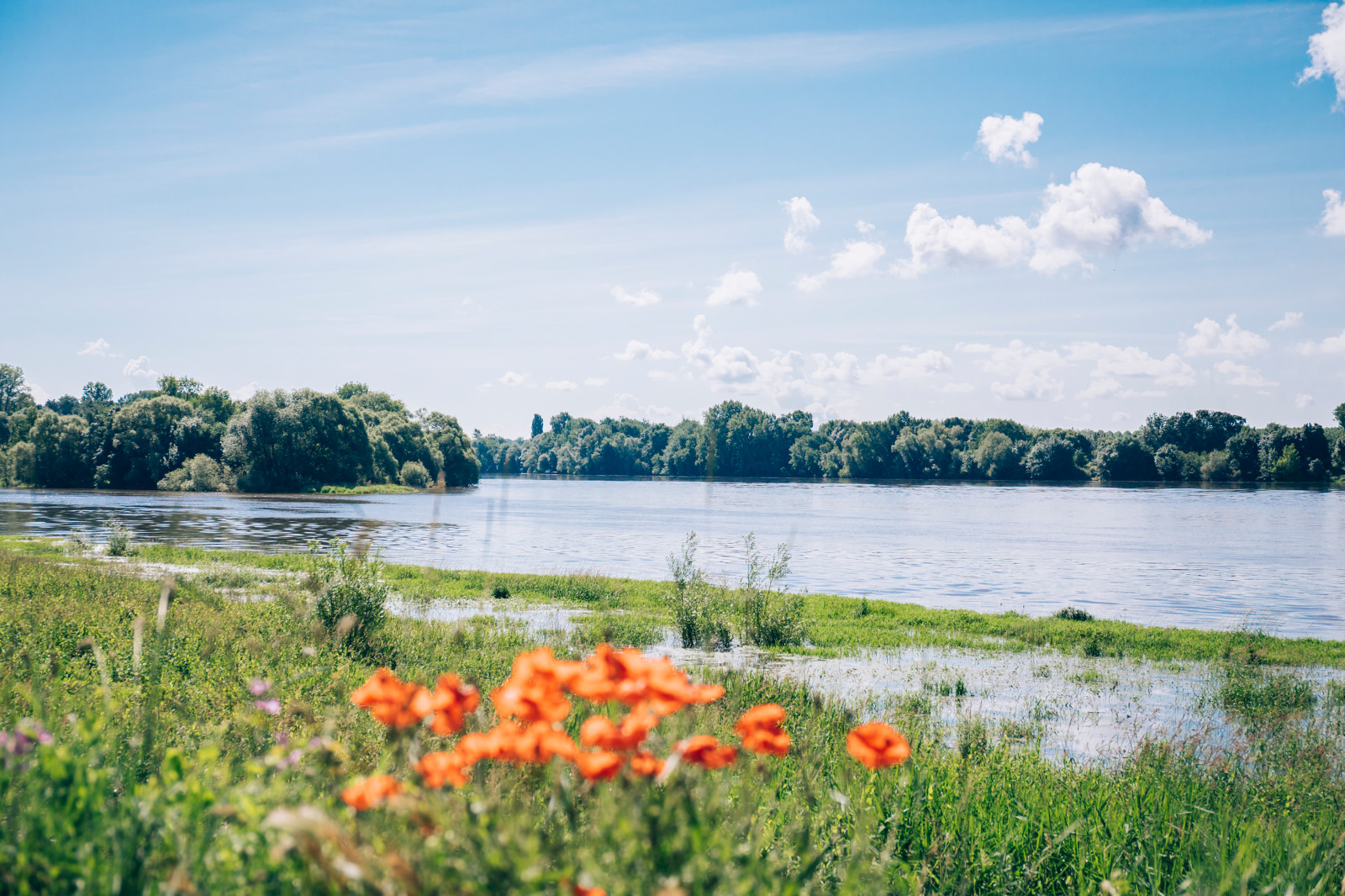
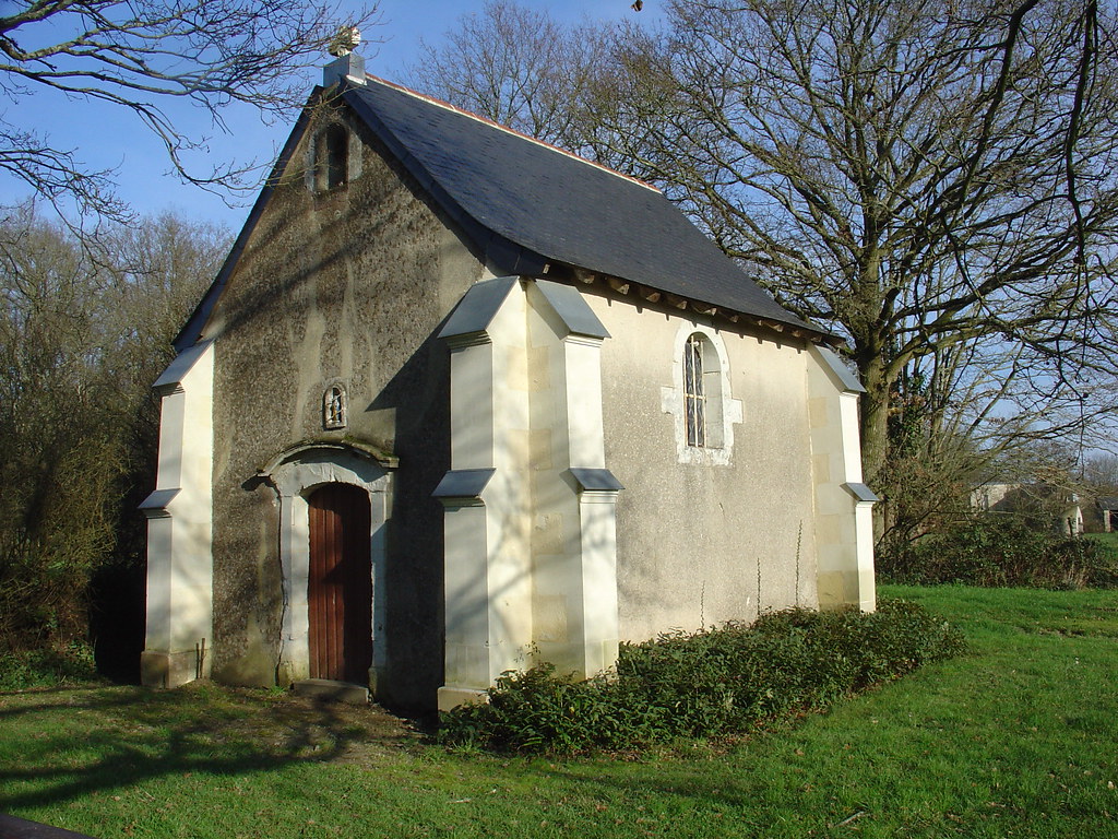
Here is a short walk from Les Essarts, taking rural paths in the middle of the fields, and passing by a small chapel.

Already more than 200,000 users!
Uphill
45m
Highest point
77m
Downhill
45m
Lowest point
47m
Route type
Loop
Download the map on your smartphone to save battery and rest assured to always keep access to the route, even without signal.
Includes IGN France and Swisstopo.
I indicate whether dogs are allowed or prohibited on this trail
All year
0 ratings
Also enjoy:

Already more than 200,000 users!