Uphill
0m
Length
3km
Duration
1h
Elev gain
0m
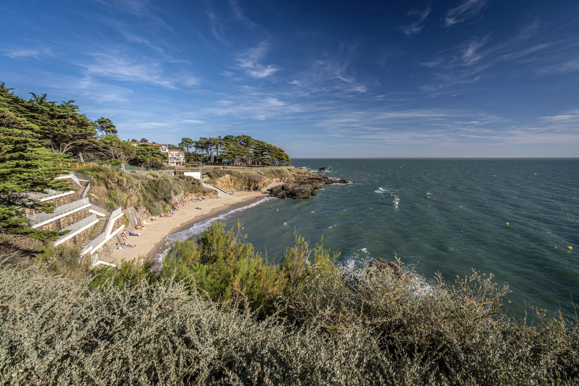
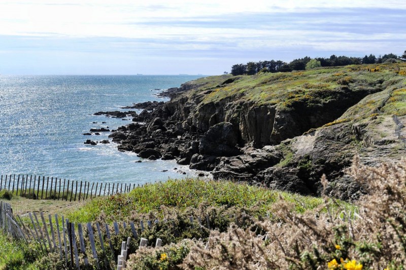
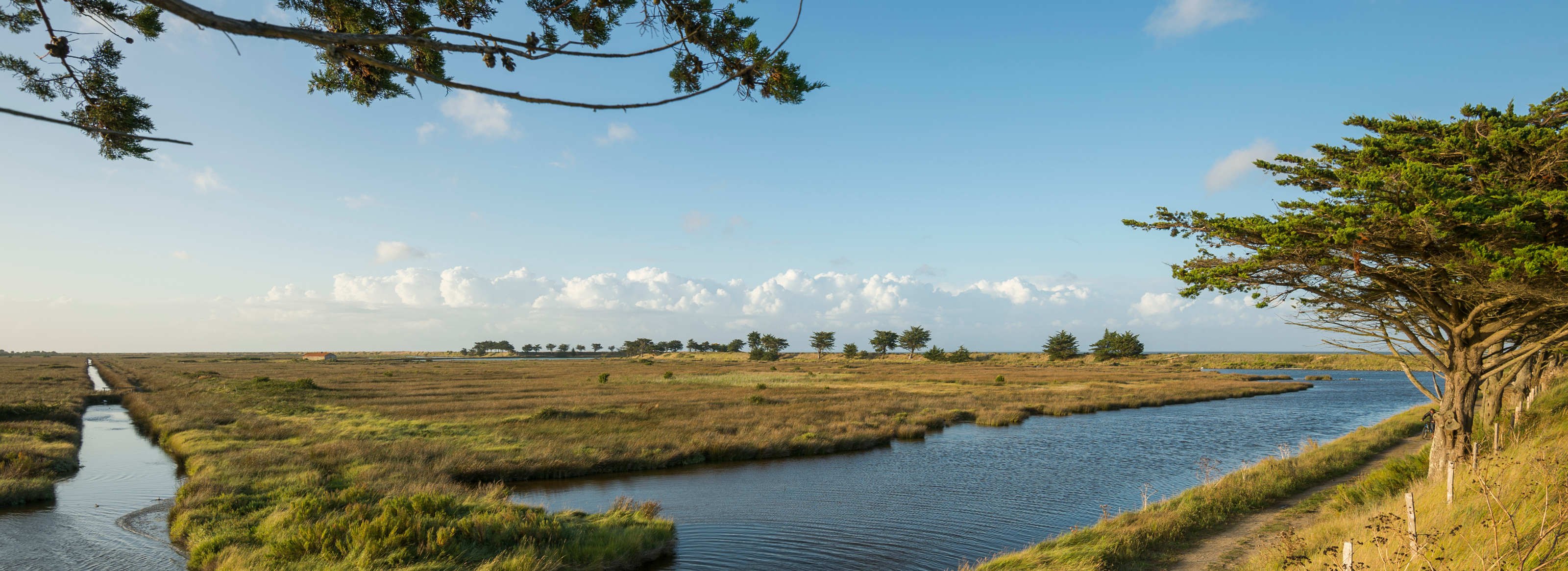
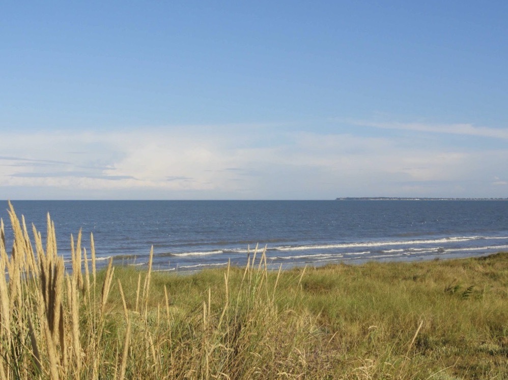
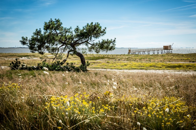
Coastal path located between dunes and marshes, along numerous fisheries mounted on stilts. Nice views over Noirmoutier and Bourgneuf bay.
The route can be done in one direction or the other.

Already more than 200,000 users!
Uphill
0m
Highest point
12m
Downhill
0m
Lowest point
7m
Route type
One way
Download the map on your smartphone to save battery and rest assured to always keep access to the route, even without signal.
Includes IGN France and Swisstopo.
Parkings at each end of the route.
Start from Port du Collet: parking du Collet.
Start from North: parking du Lancastria.
I indicate whether dogs are allowed or prohibited on this trail
All year
1 rating
Sympa. A privilégier à marée haute car la mer se retire assez loin lorsqu’elle est basse.
Also enjoy:

Already more than 200,000 users!