Uphill
34m
Length
4km
Duration
1h
Elev gain
34m
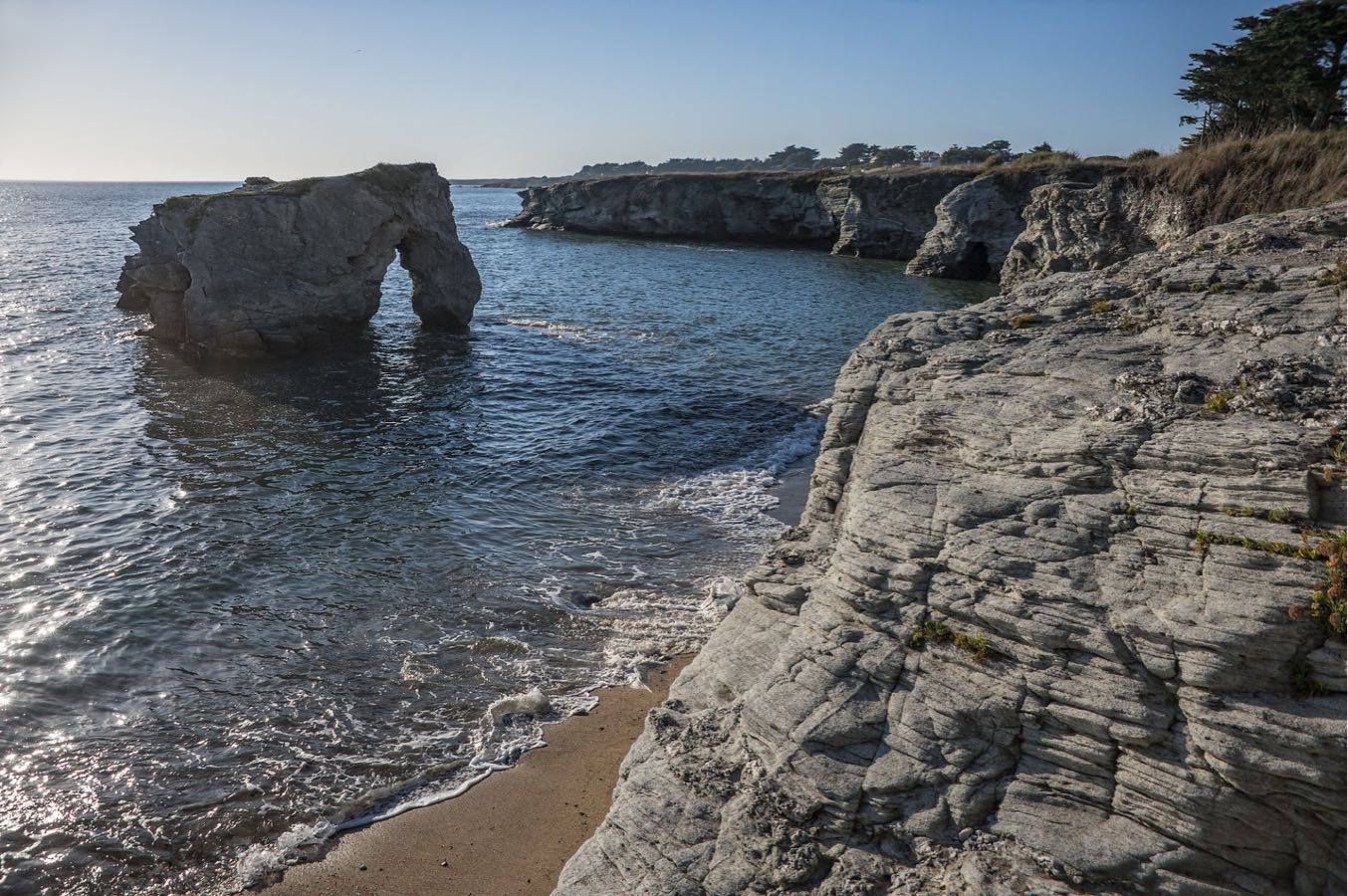
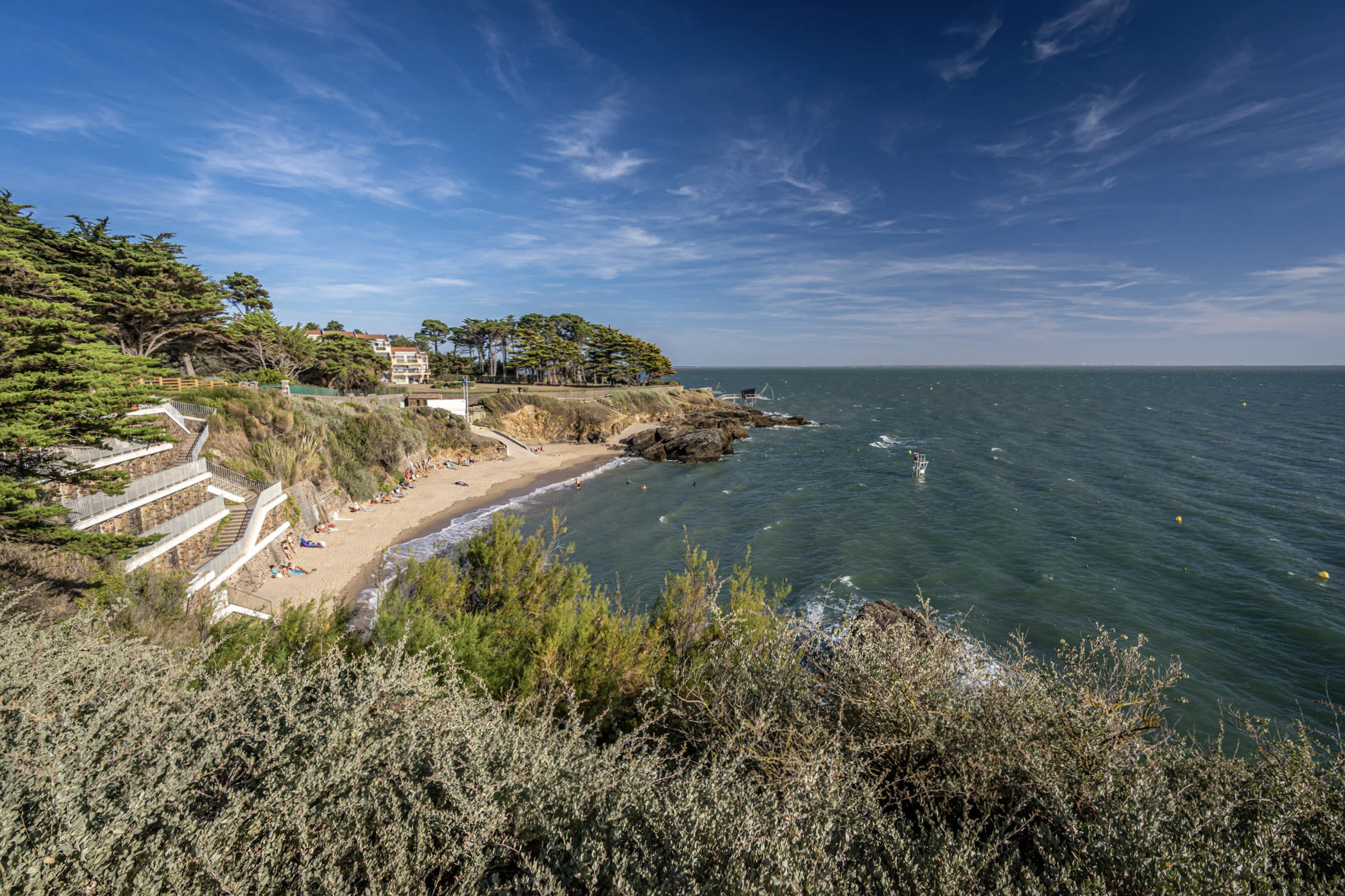
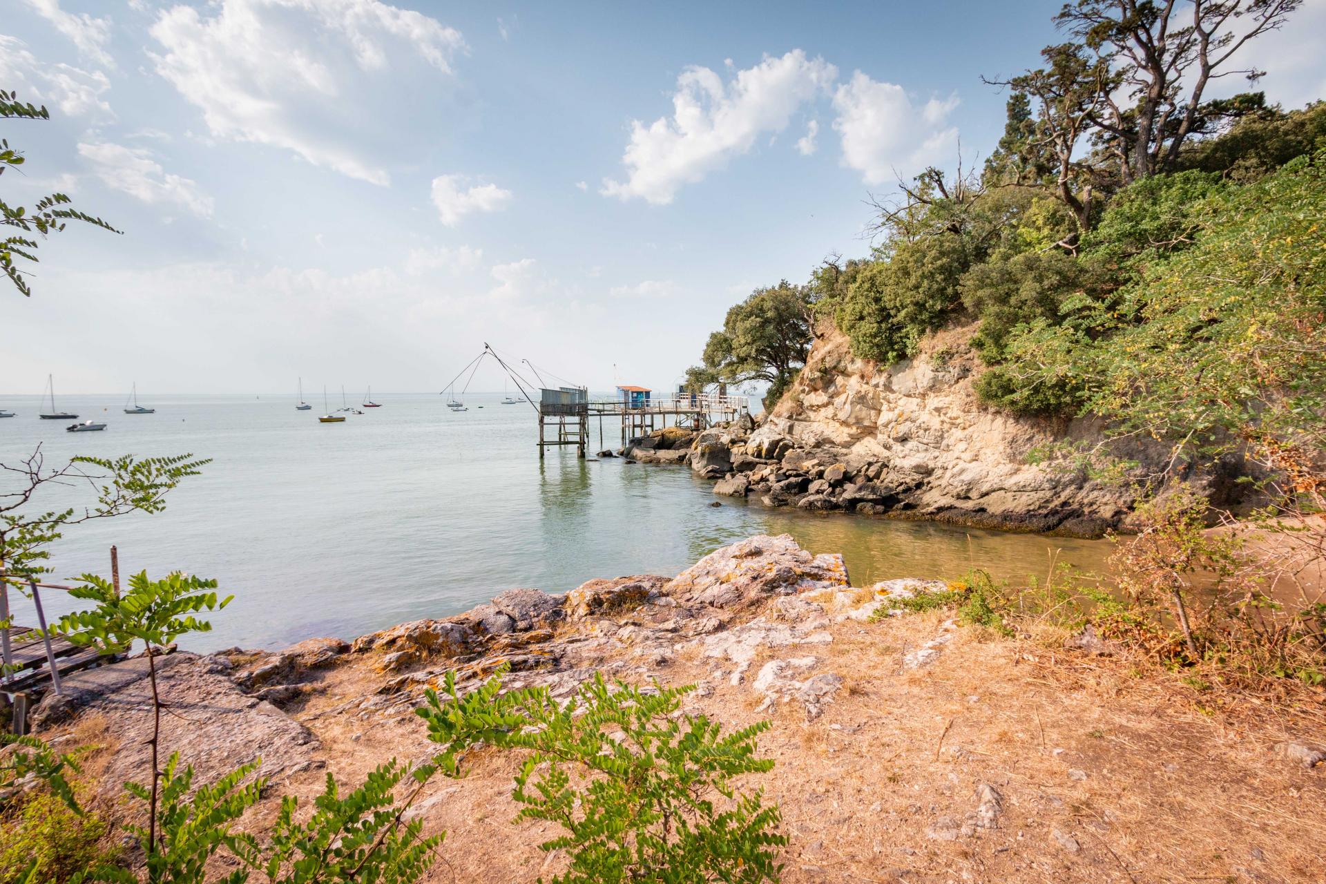
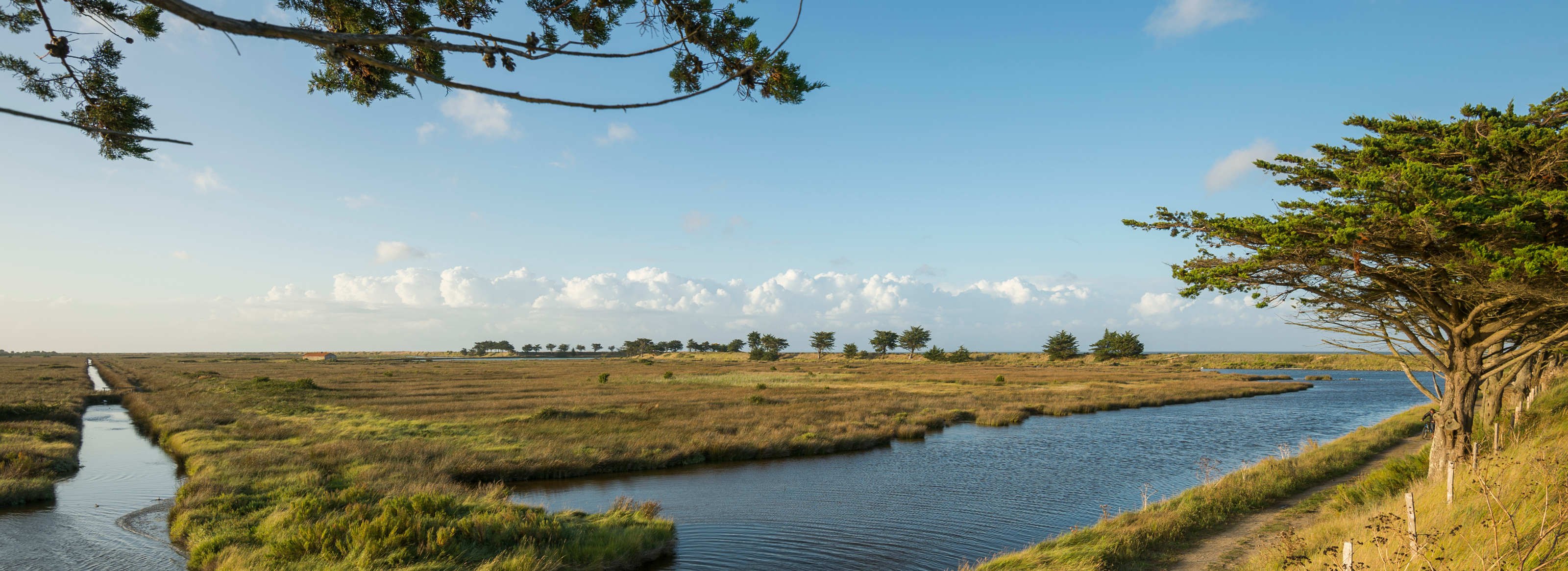
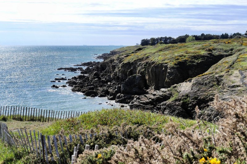
Coastal path on a relatively unspoiled section of the coast, overlooking creeks and cliffs. This route can be done in one direction or the other.

Already more than 200,000 users!
Uphill
34m
Highest point
22m
Downhill
32m
Lowest point
0m
Route type
One way
Download the map on your smartphone to save battery and rest assured to always keep access to the route, even without signal.
Includes IGN France and Swisstopo.
Parkings at each end of the route.
Start from Pornic: parking Plage Du Portmain.
Start from Prefailles: parking at the intersection of rue des Caves and Corniche de Port Meleu.
I indicate whether dogs are allowed or prohibited on this trail
All year
2 ratings
Petit coup de coeur pour ce sentier, qui parcourt la côte sauvage entre Préfailles et Pornic. Paysages de landes, falaises, et quelques criques en contrebas.
À noter qu’il est aussi possible de prolonger la balade jusqu’au centre de Pornic - ça devient plus fréquenté et on longe alors de nombreuses villas du 19ème siècle.
Also enjoy:

Already more than 200,000 users!