Uphill
112m
Length
10km
Duration
2h30min
Elev gain
112m
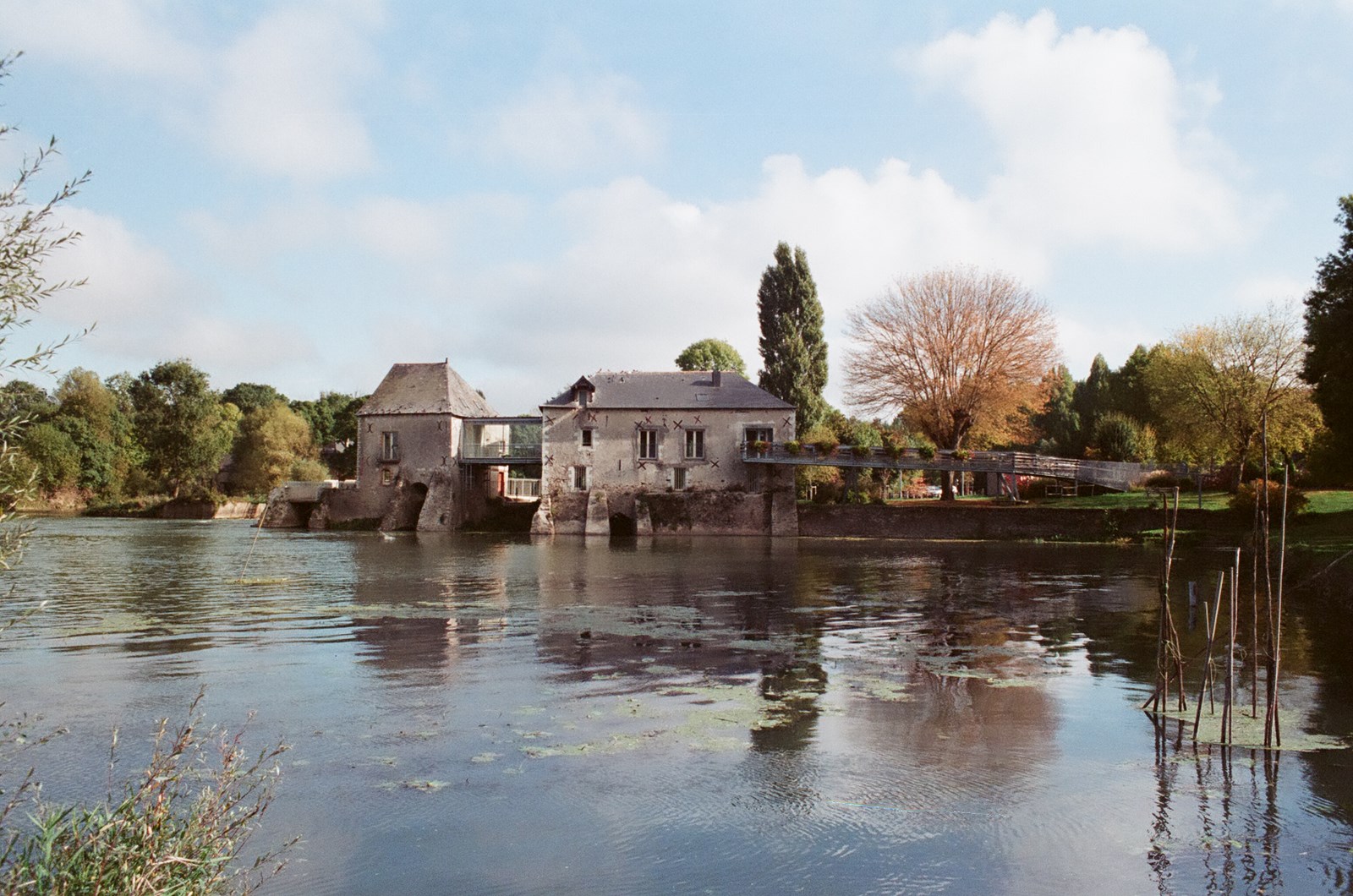
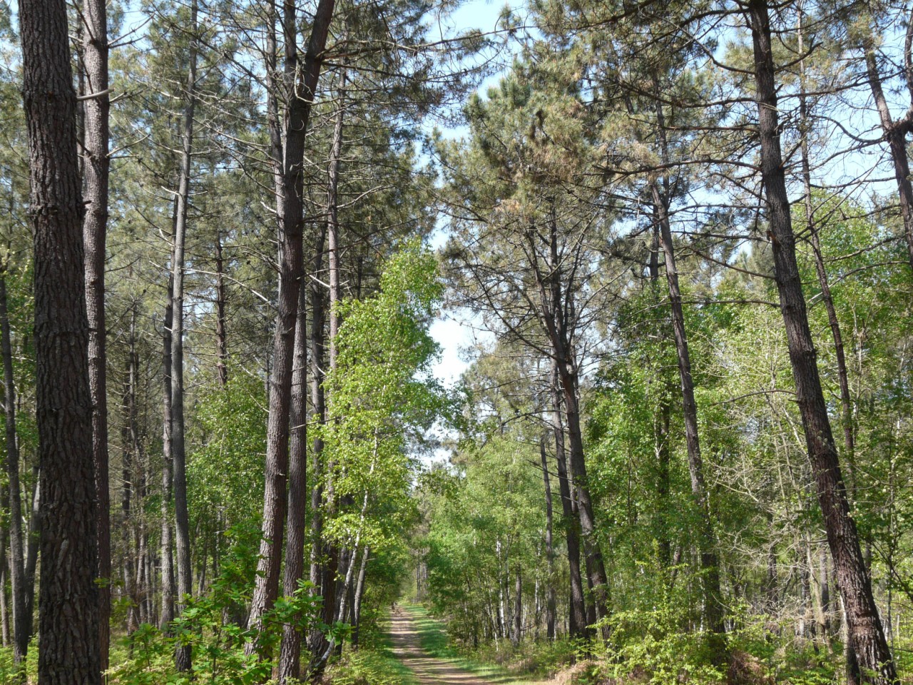
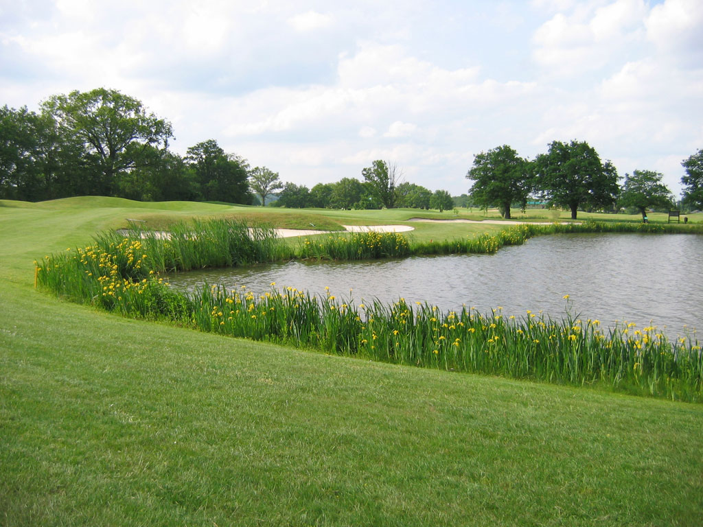
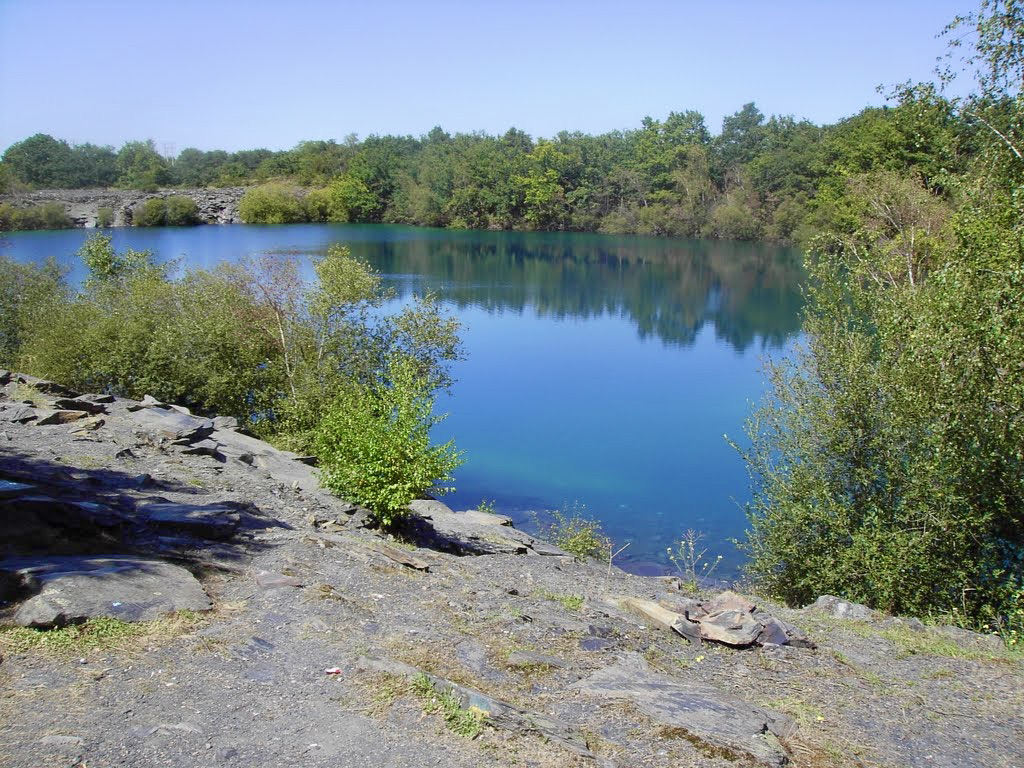
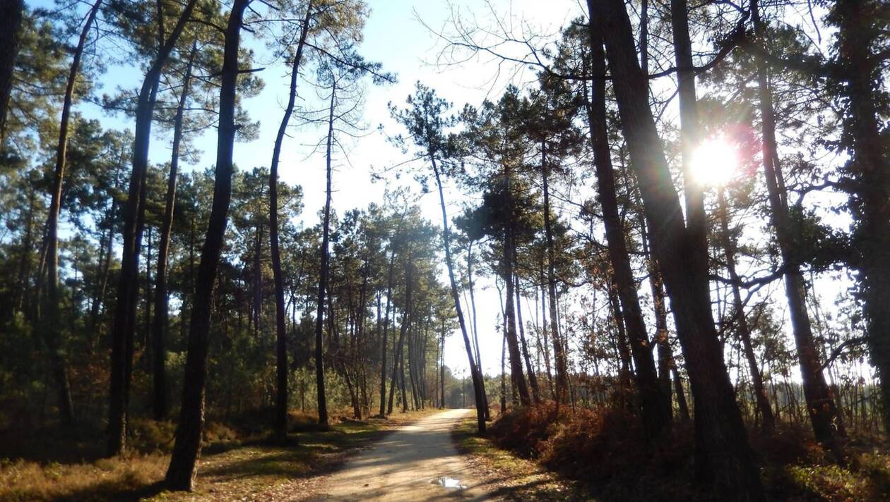
This is a circuit located in the loop of the Loir and passing through the woods of Boudré and Renfermés, meadows, as well as wetlands.
The route is equipped with signs which allow visitors to discover the local characteristics.

Already more than 200,000 users!
Uphill
112m
Highest point
62m
Downhill
112m
Lowest point
0m
Route type
Loop
Download the map on your smartphone to save battery and rest assured to always keep access to the route, even without signal.
Includes IGN France and Swisstopo.
I indicate whether dogs are allowed or prohibited on this trail
All year
0 ratings
Also enjoy:

Already more than 200,000 users!