Uphill
58m
Length
9km
Duration
2h30min
Elev gain
58m
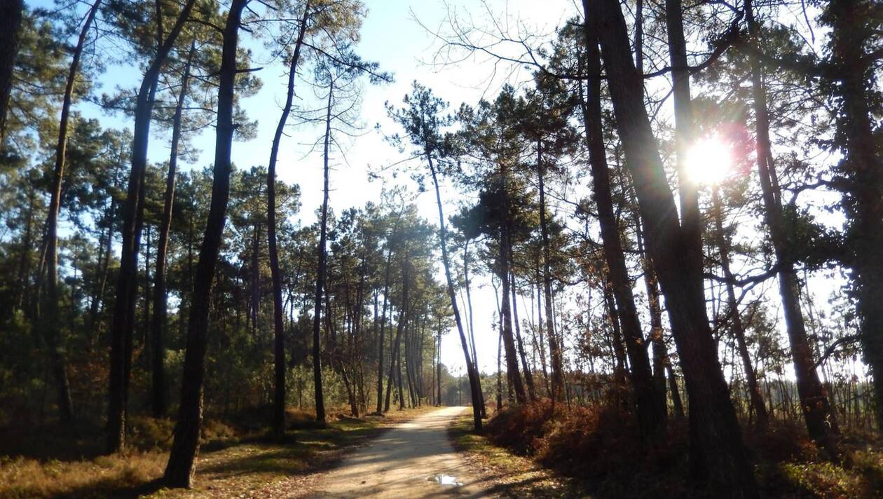
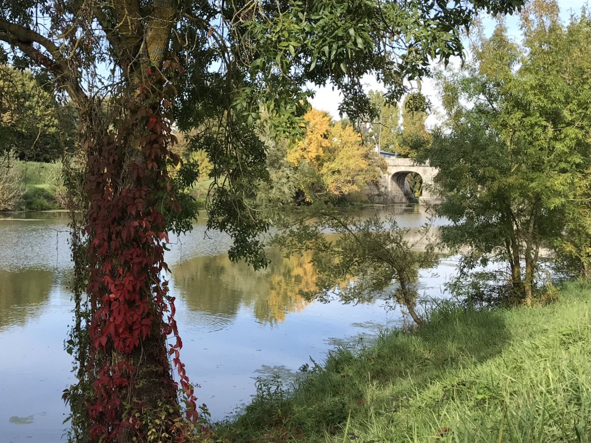
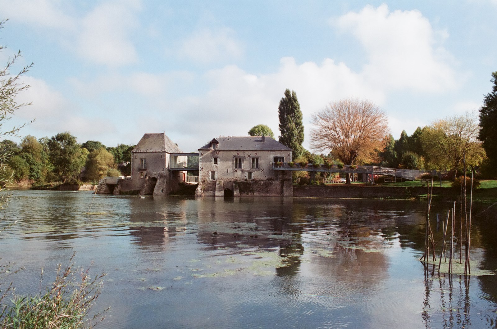
This walk begins very close to the pretty Villevêque mill. The route runs along the Loir to La Roche-Foulques, mainly crossing fields. The return goes through Soucelles.

Already more than 200,000 users!
Uphill
58m
Highest point
35m
Downhill
58m
Lowest point
0m
Route type
Loop
Download the map on your smartphone to save battery and rest assured to always keep access to the route, even without signal.
Includes IGN France and Swisstopo.
I indicate whether dogs are allowed or prohibited on this trail
All year
0 ratings
Also enjoy:

Already more than 200,000 users!