Uphill
191m

France > Pays de la Loire > Mayenne > Normandie-Maine Nature Park
Length
16km
Duration
4h30min
Elev gain
191m
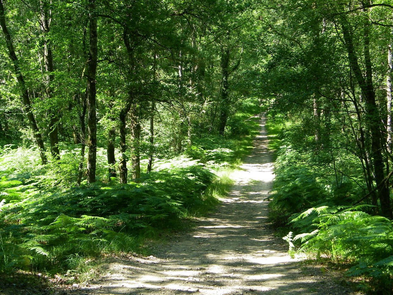
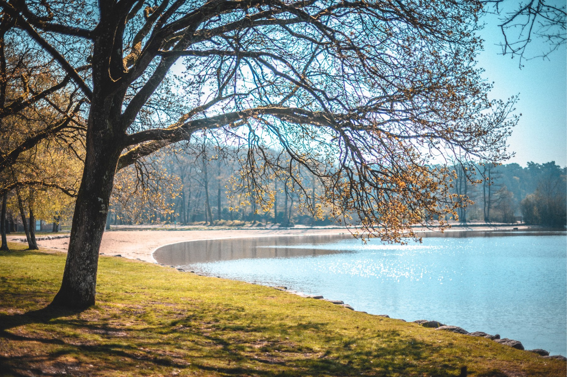
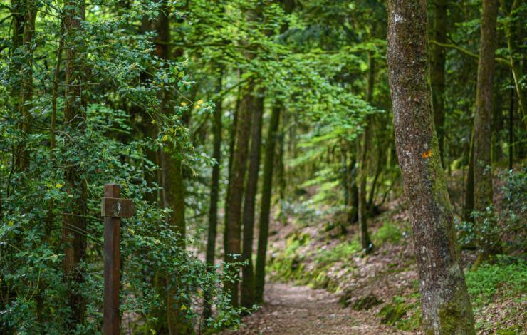
Beautiful and long walk starting near Vimarcé. This route makes a loop in the woods of the Orthe, then goes around the Grand Étang. The trail then returns to the starting point via a forest trail.

Already more than 200,000 users!
Uphill
191m
Highest point
283m
Downhill
191m
Lowest point
177m
Route type
Loop
Download the map on your smartphone to save battery and rest assured to always keep access to the route, even without signal.
Includes IGN France and Swisstopo.
I indicate whether dogs are allowed or prohibited on this trail
All year
0 ratings
Also enjoy:

Already more than 200,000 users!