Uphill
181m
France > Pays de la Loire > Sarthe > Normandie-Maine Nature Park
Length
14km
Duration
4h
Elev gain
181m
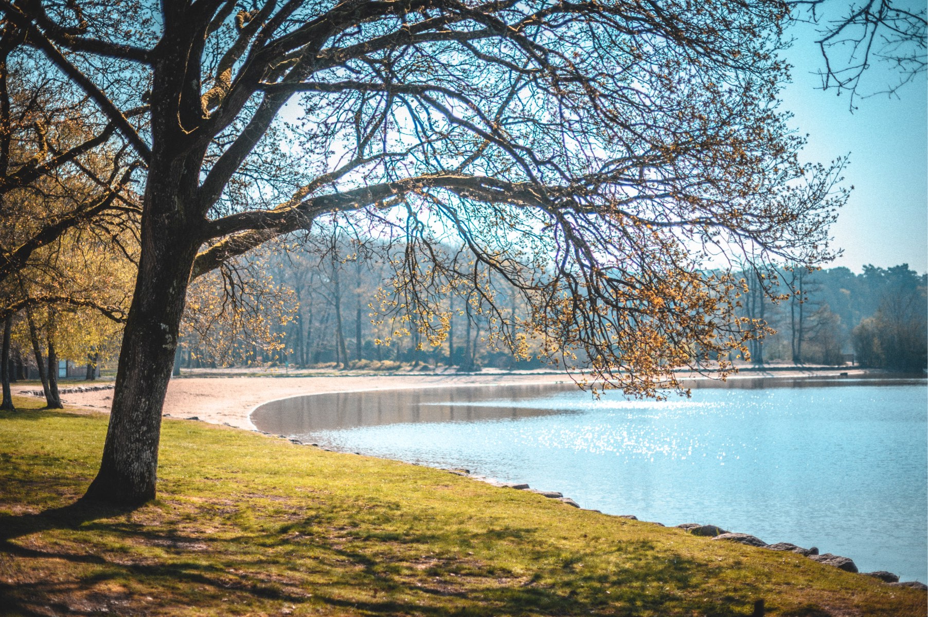
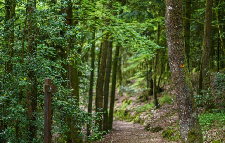
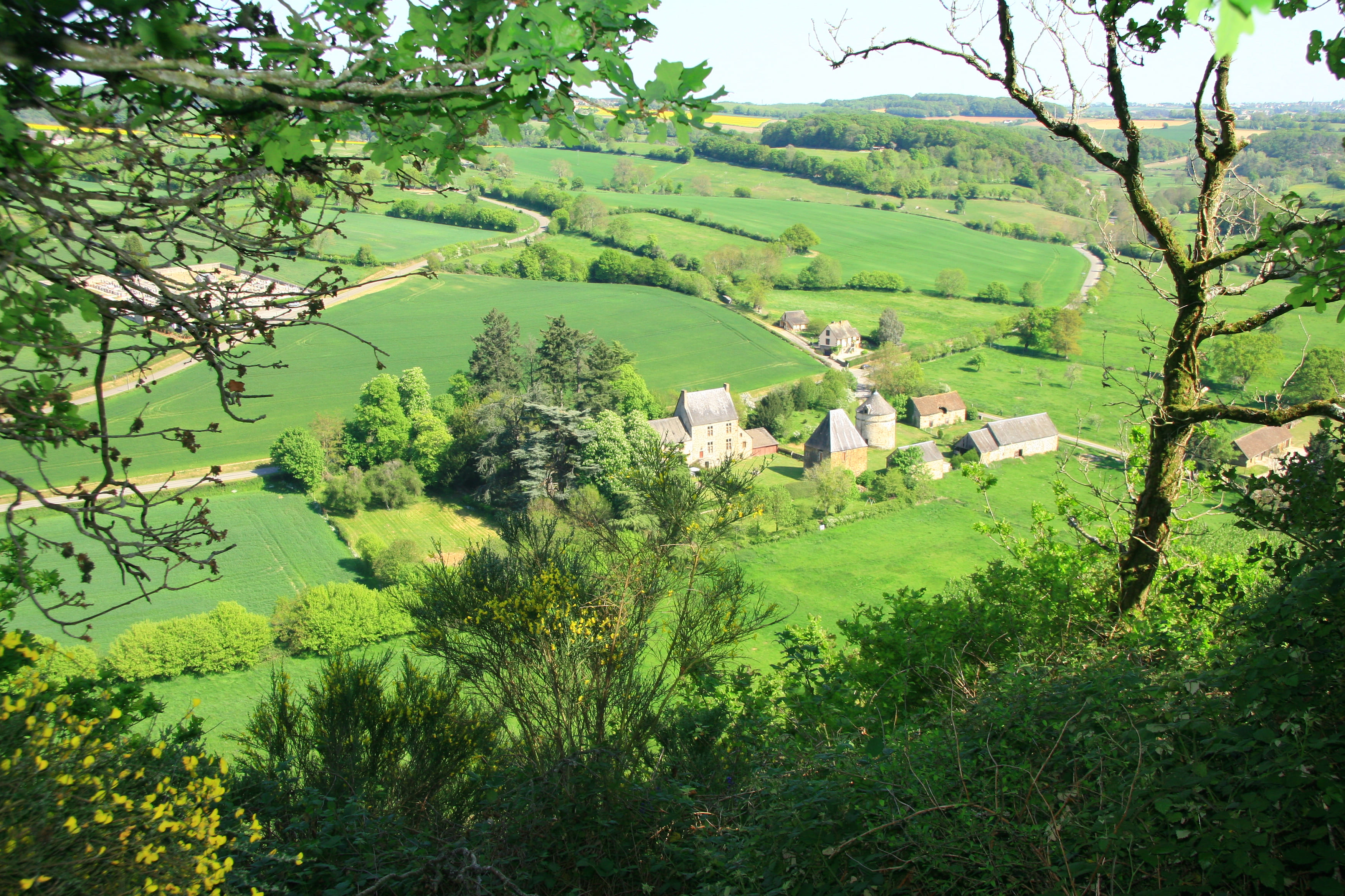
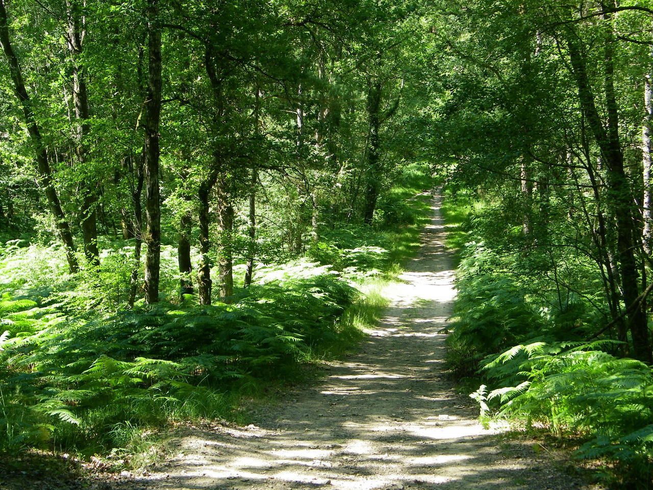
Leaving from the Grand Étang, this walk makes a large loop in the national forest of Sillé-le-Guillaume. Between forest and pond, the course presents beautiful vegetation and offers the possibility of swimming.

Already more than 200,000 users!
Uphill
181m
Highest point
295m
Downhill
181m
Lowest point
211m
Route type
Loop
Download the map on your smartphone to save battery and rest assured to always keep access to the route, even without signal.
Includes IGN France and Swisstopo.
I indicate whether dogs are allowed or prohibited on this trail
All year
0 ratings
Also enjoy:

Already more than 200,000 users!