Uphill
200m
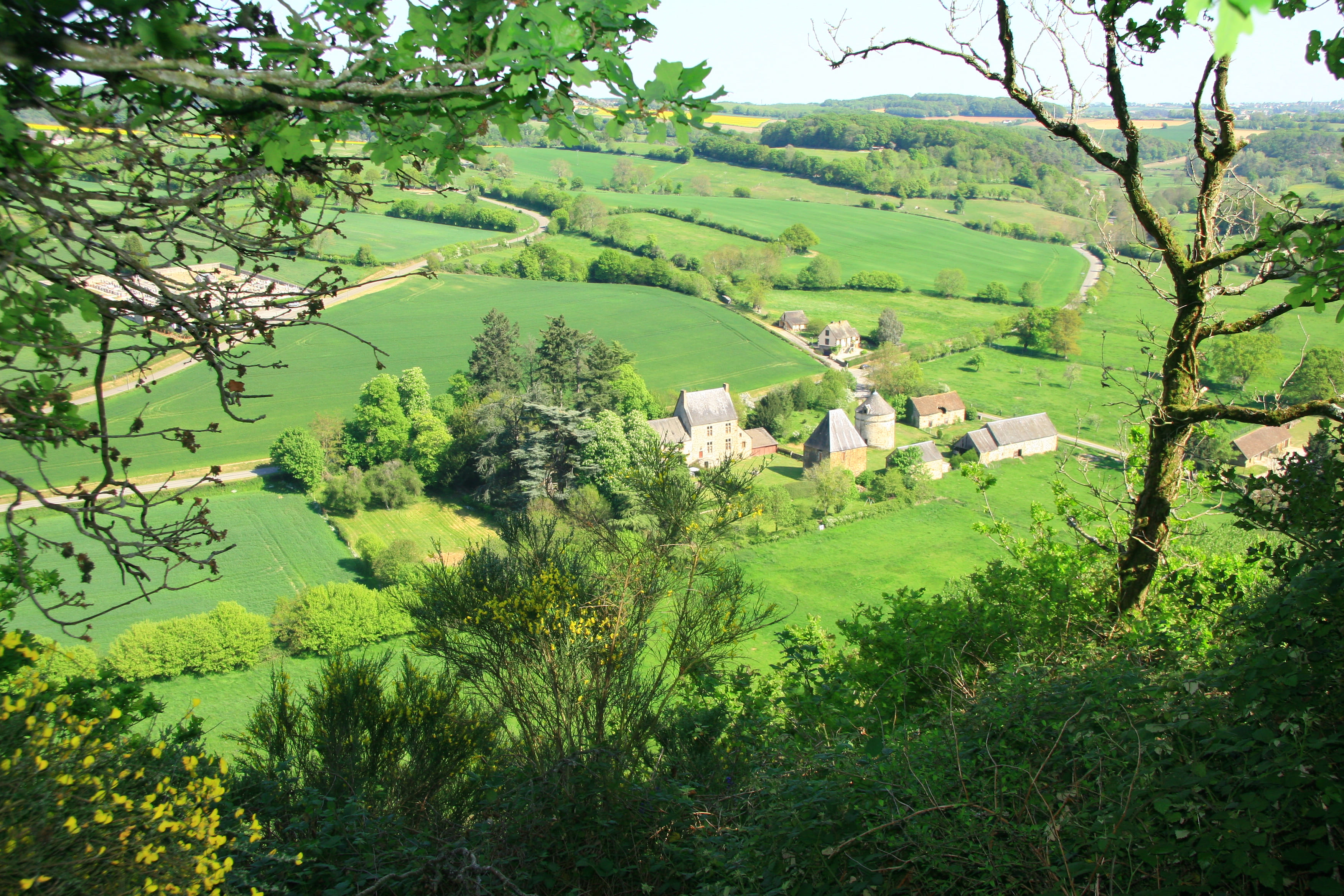
France > Pays de la Loire > Sarthe > Normandie-Maine Nature Park
Length
5km
Duration
2h
Elev gain
200m
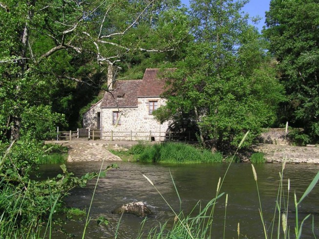
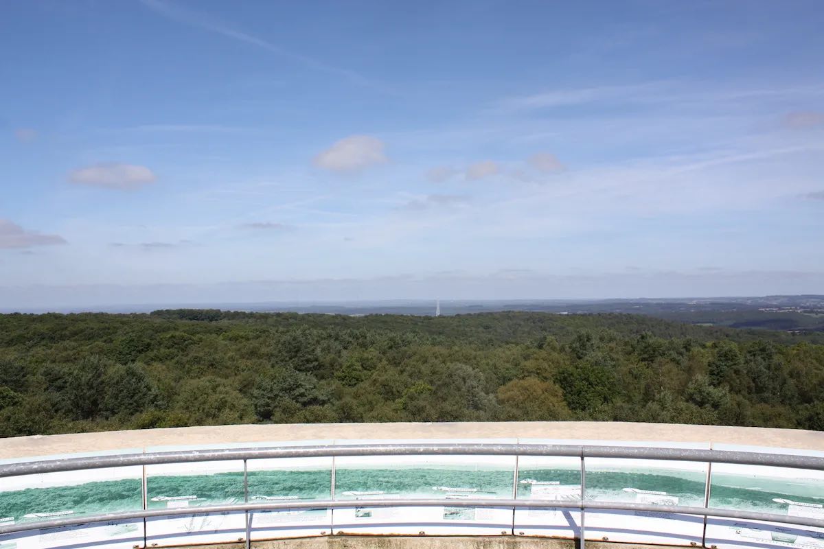
Here is a nice hike around the village of Saint-Léonard-des-Bois. The path crosses the Sarthe twice and rises to offer a nice view of the surroundings. A pleasant and hilly walk.

Already more than 200,000 users!
Uphill
200m
Highest point
209m
Downhill
200m
Lowest point
96m
Route type
Loop
Download the map on your smartphone to save battery and rest assured to always keep access to the route, even without signal.
Includes IGN France and Swisstopo.
I indicate whether dogs are allowed or prohibited on this trail
All year
0 ratings
Also enjoy:

Already more than 200,000 users!