Uphill
74m
France > Pays de la Loire > Mayenne > Normandie-Maine Nature Park
Length
5km
Duration
1h30min
Elev gain
74m
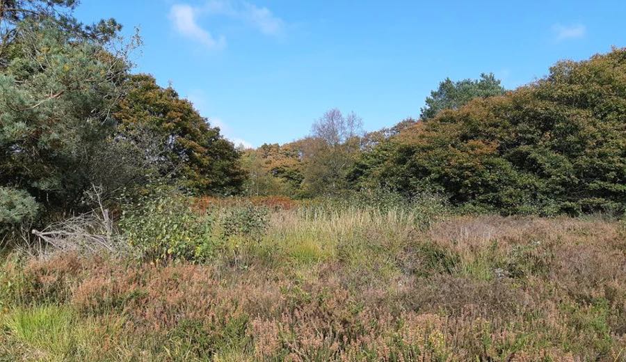
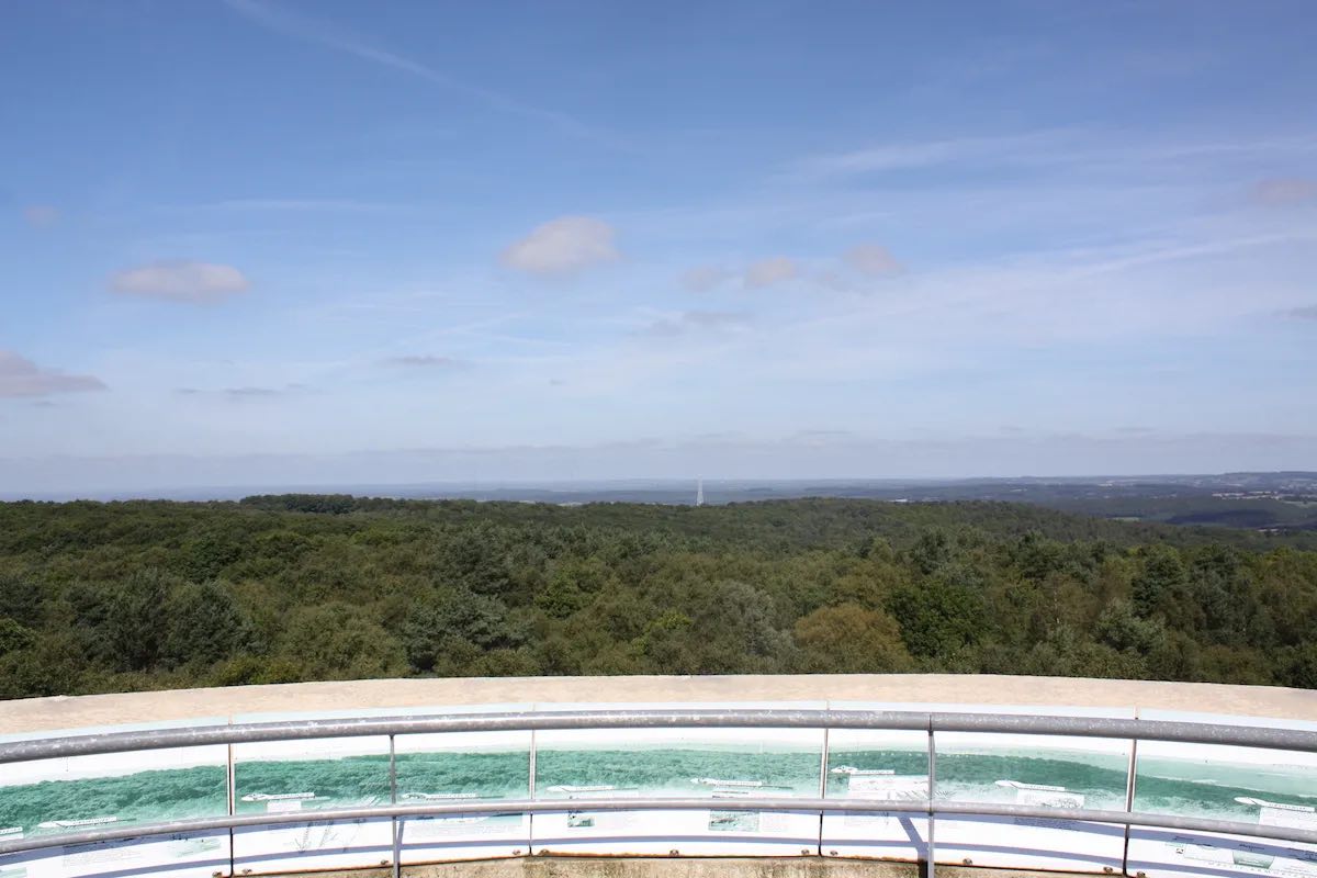
This hike begins at the Mont des Avaloirs belvedere, built on the highest point (416 m) of the Armorican Massif and the Grand Ouest. The walk then continues in the forest of Multonne.

Already more than 200,000 users!
Uphill
74m
Highest point
422m
Downhill
74m
Lowest point
340m
Route type
Loop
Download the map on your smartphone to save battery and rest assured to always keep access to the route, even without signal.
Includes IGN France and Swisstopo.
I indicate whether dogs are allowed or prohibited on this trail
All year
0 ratings
Also enjoy:

Already more than 200,000 users!