Uphill
381m

France > Pays de la Loire > Sarthe > Normandie-Maine Nature Park
Length
15km
Duration
5h
Elev gain
381m
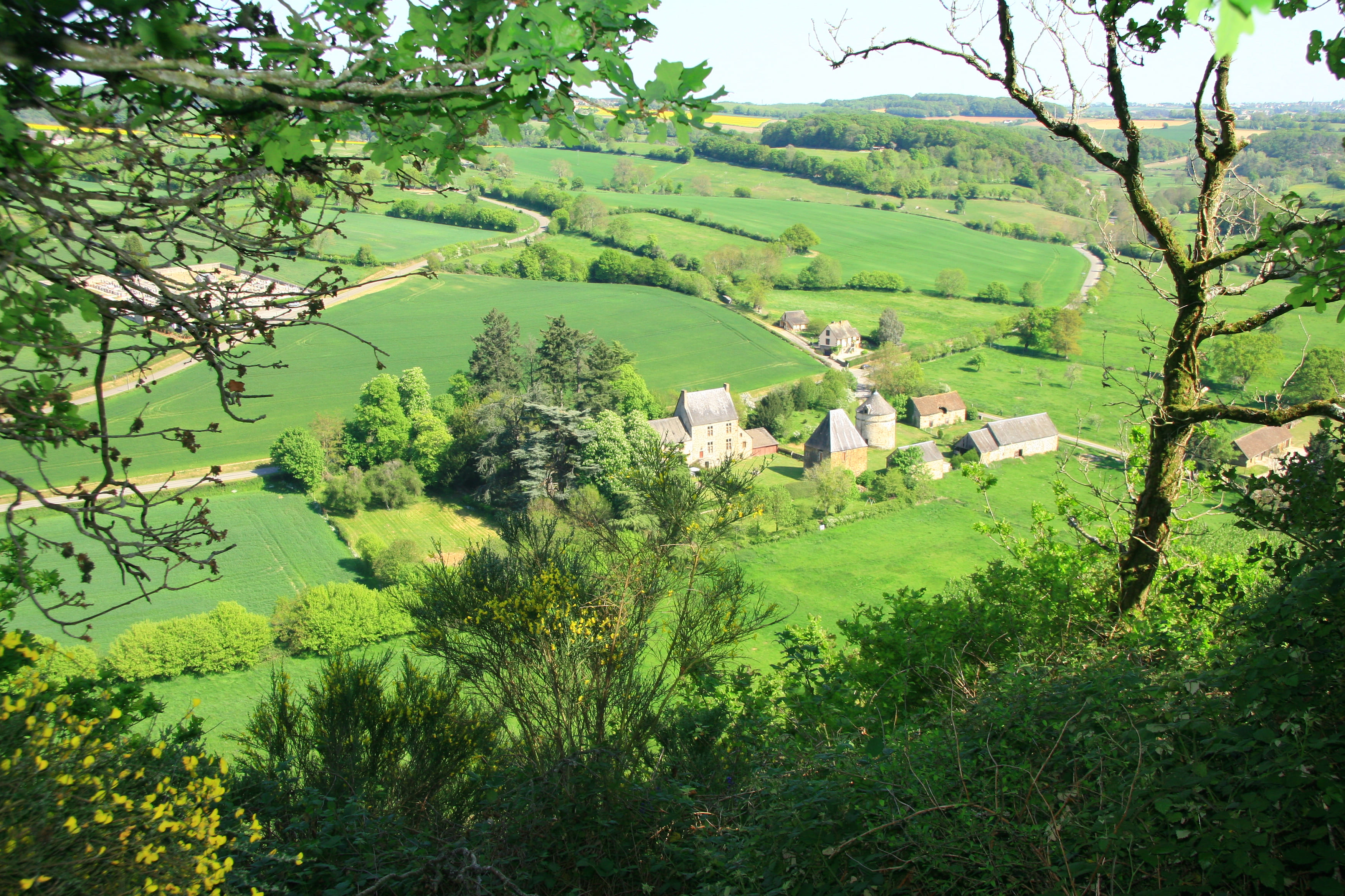
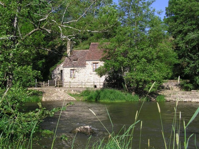
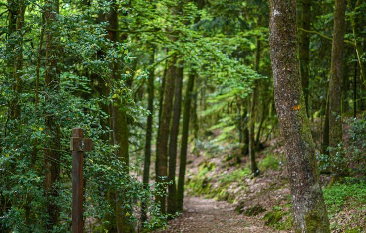
A hike to discover the "Alpes Mancelles", a steep environment with pretty views of the Sarthe and its meanders. Crossing of Saint-Céneri-le-Gérei, rated as "one of the most beautiful villages in France". Note some passages on the road.

Already more than 200,000 users!
Uphill
381m
Highest point
235m
Downhill
381m
Lowest point
97m
Route type
Loop
Download the map on your smartphone to save battery and rest assured to always keep access to the route, even without signal.
Includes IGN France and Swisstopo.
I indicate whether dogs are allowed or prohibited on this trail
All year
2 ratings
Super sentier… il aurait le mérite d’être classé avec 4 étoiles!! Des points de vue exceptionnels et villages pittoresques!
Also enjoy:

Already more than 200,000 users!