Uphill
29m
Length
2km
Duration
30min
Elev gain
29m
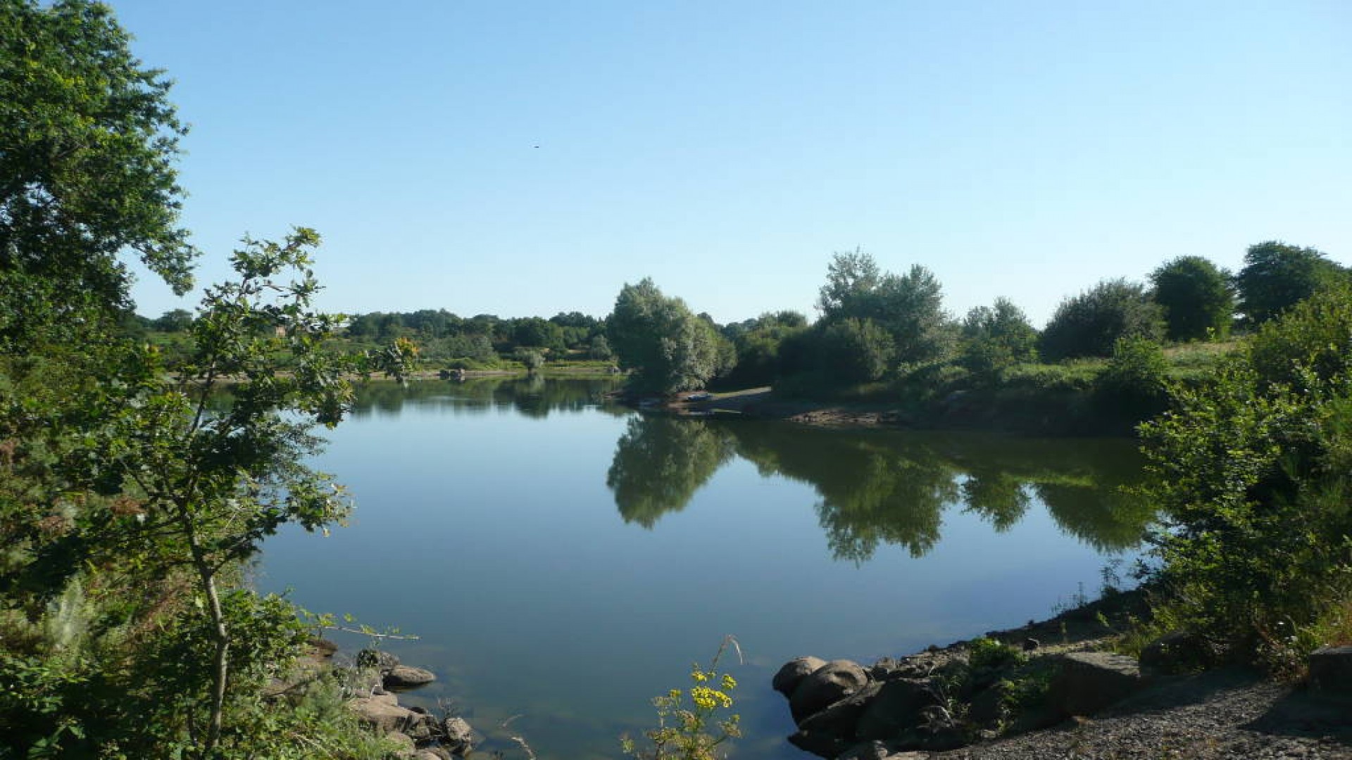
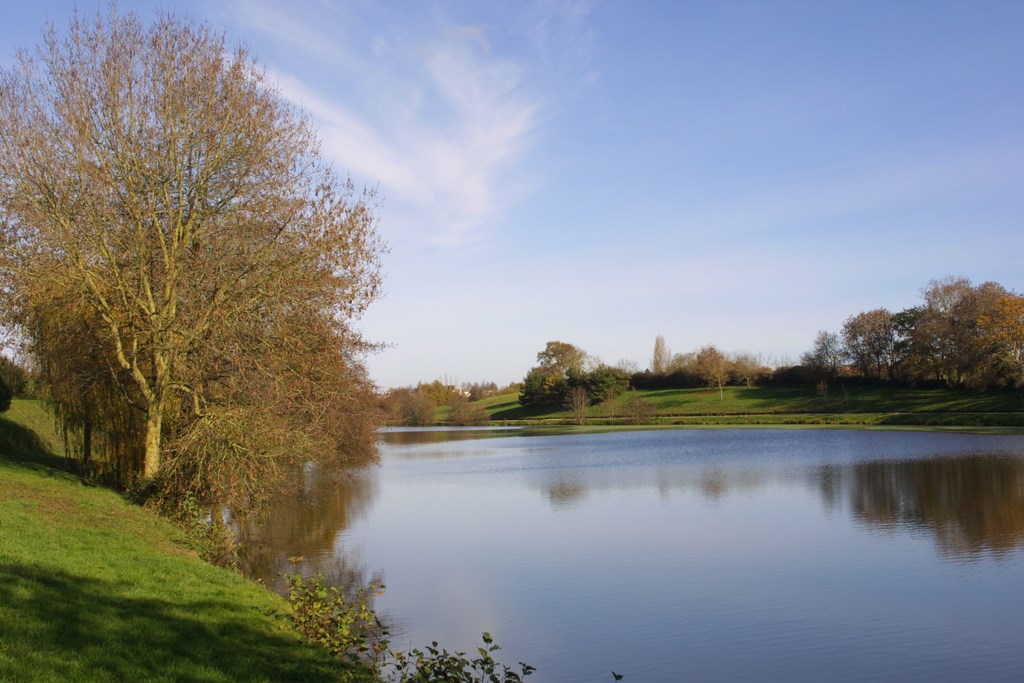
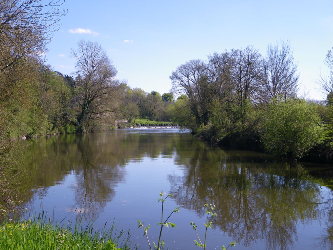
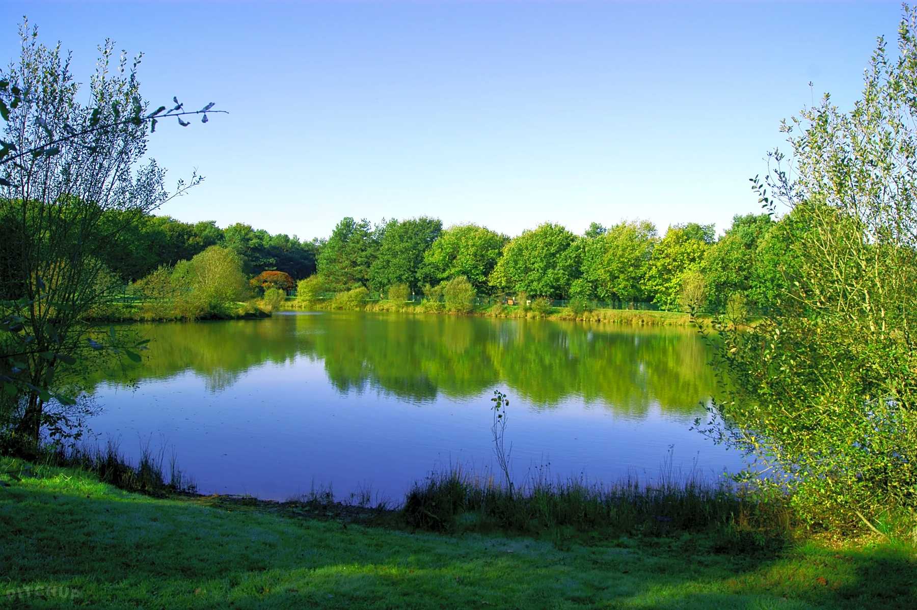
Stroll around a fourteen hectare lake, bordered by a small wood. The site also includes a leisure center offering many activities.

Already more than 200,000 users!
Uphill
29m
Highest point
82m
Downhill
29m
Lowest point
48m
Route type
Loop
Download the map on your smartphone to save battery and rest assured to always keep access to the route, even without signal.
Includes IGN France and Swisstopo.
I indicate whether dogs are allowed or prohibited on this trail
All year
0 ratings
Also enjoy:

Already more than 200,000 users!