Uphill
137m
Length
12km
Duration
3h30min
Elev gain
137m
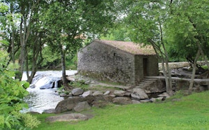
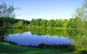
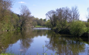
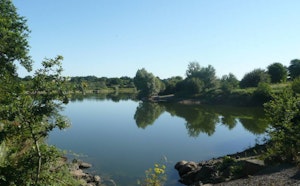
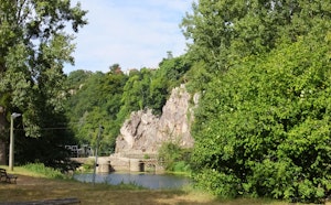
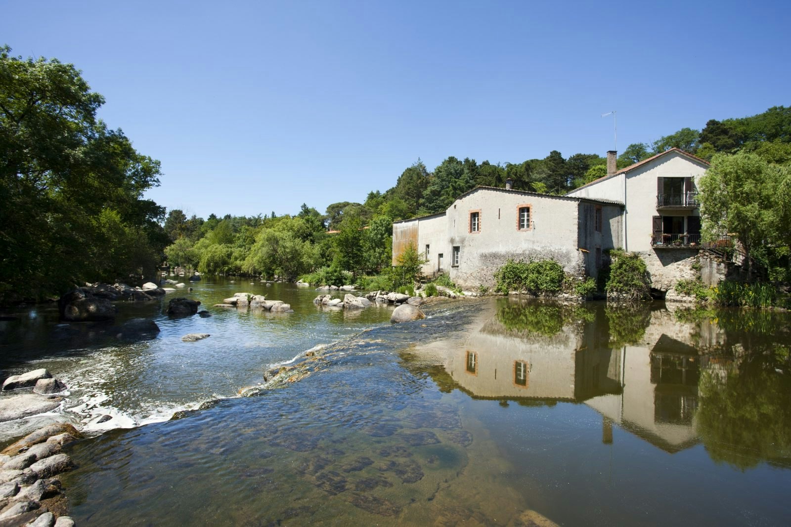
Circuit presenting a wide variety of landscapes between edges of Sèvre, forest, countryside and hamlets.
The path alternates between small roads and more natural paths.

Already more than 200,000 users!
Uphill
137m
Highest point
69m
Downhill
137m
Lowest point
20m
Route type
Loop
Download the map on your smartphone to save battery and rest assured to always keep access to the route, even without signal.
Includes IGN France and Swisstopo.
I indicate whether dogs are allowed or prohibited on this trail
All year
0 ratings
Also enjoy:

Already more than 200,000 users!