Uphill
191m
Length
15km
Duration
4h
Elev gain
191m
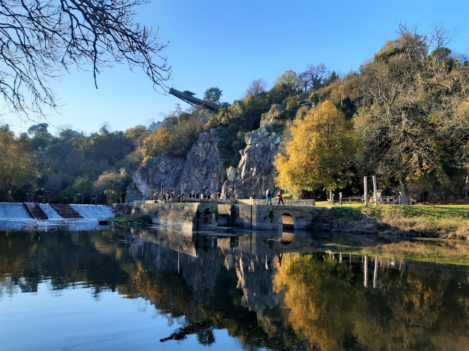
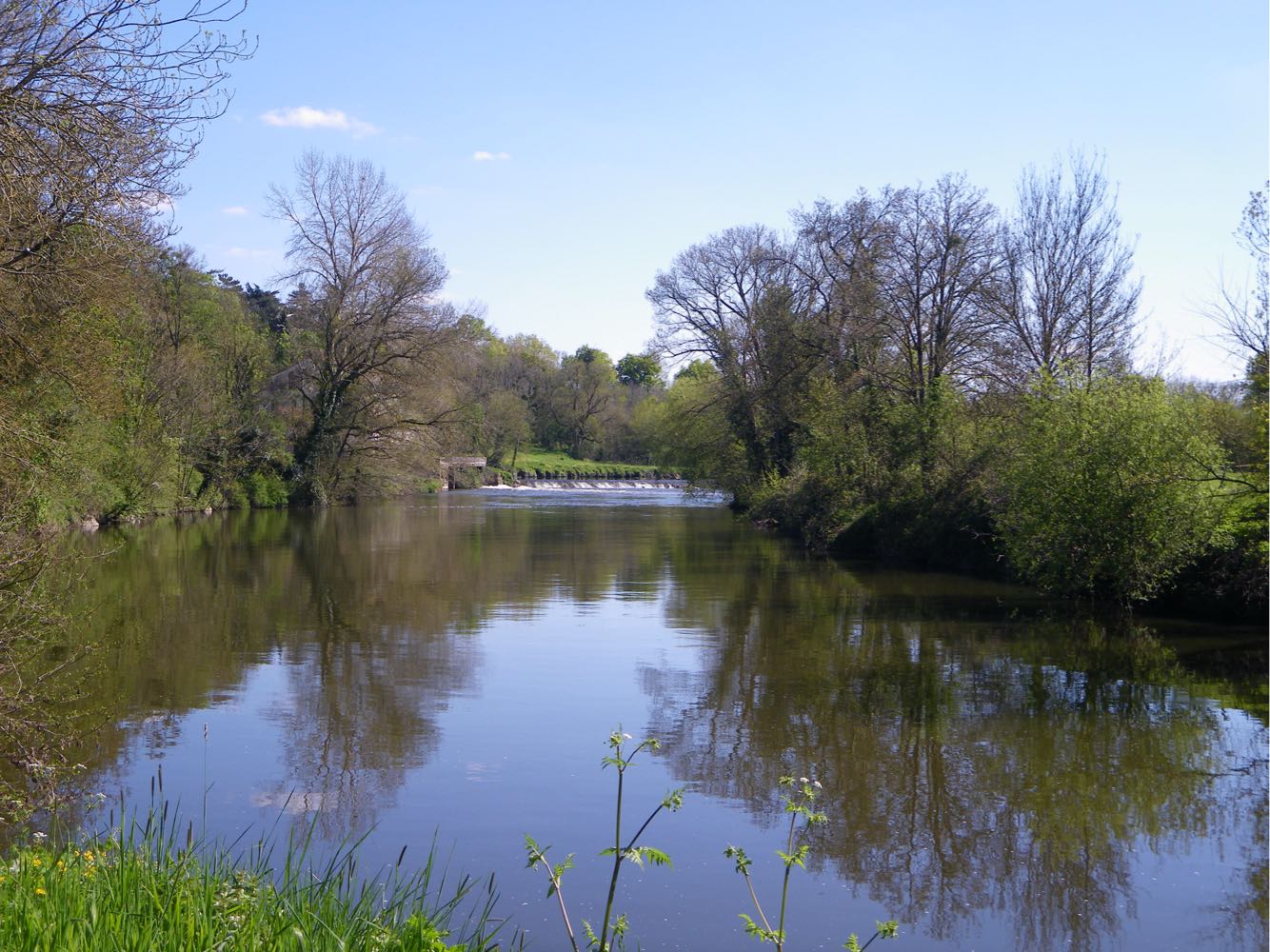
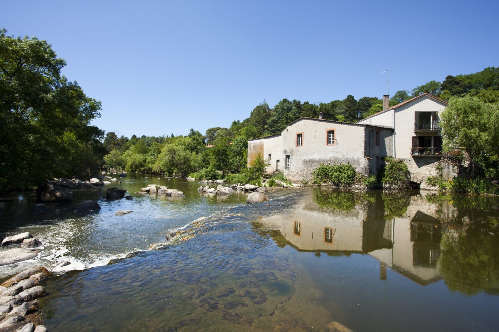
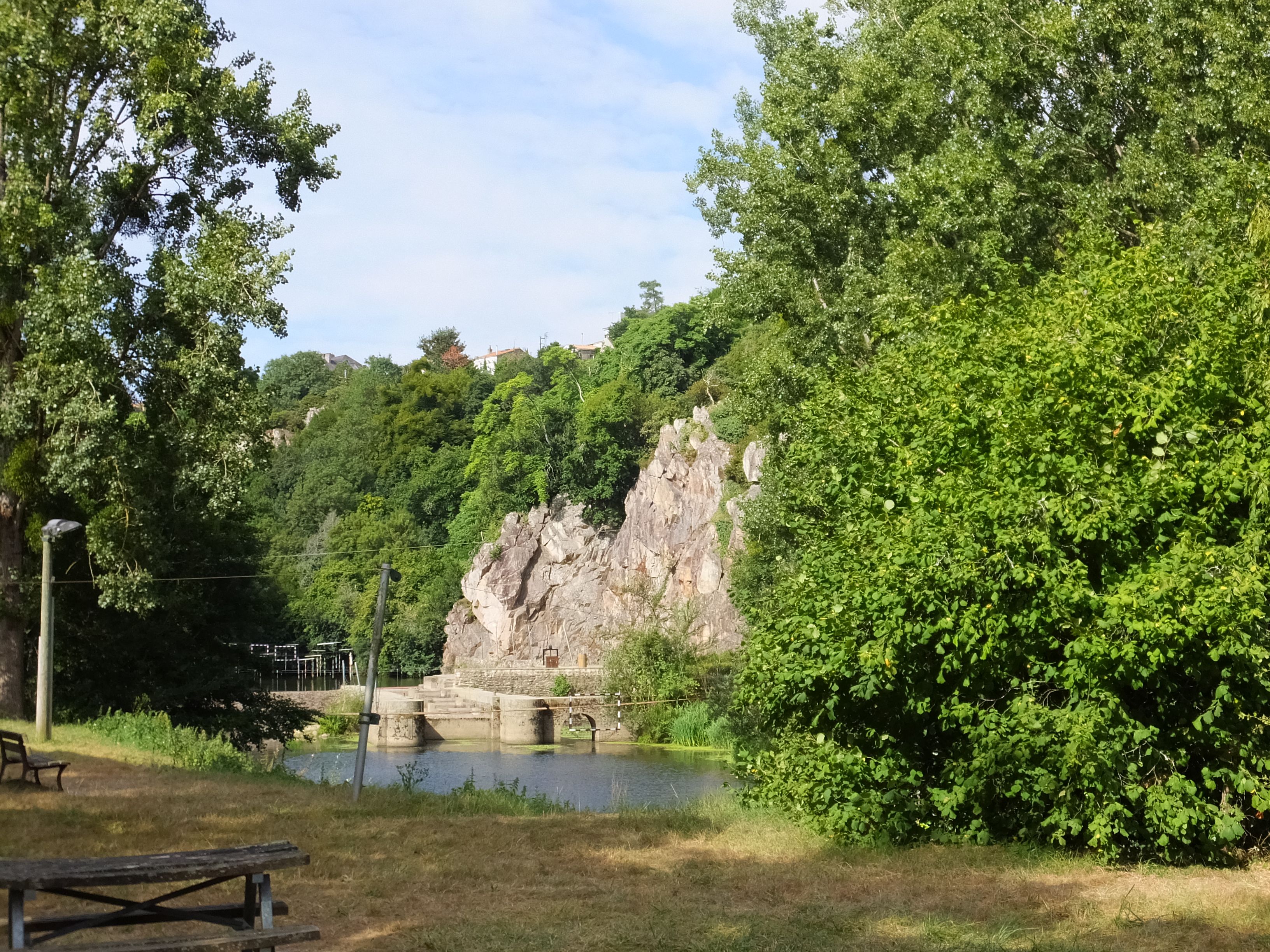
Departing from Pont Caffino, this trail begins by winding between the vines and the undergrowth, to the Bordelière. The return is along the Maine, and ends at the foot of the cliffs of Pont Caffino.

Already more than 200,000 users!
Uphill
191m
Highest point
69m
Downhill
191m
Lowest point
10m
Route type
Loop
Download the map on your smartphone to save battery and rest assured to always keep access to the route, even without signal.
Includes IGN France and Swisstopo.
I indicate whether dogs are allowed or prohibited on this trail
All year
1 rating
Also enjoy:

Already more than 200,000 users!