Uphill
26m
Length
14km
Duration
3h30min
Elev gain
26m
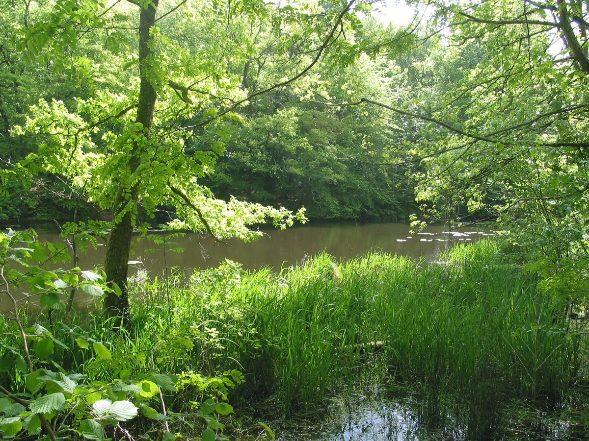
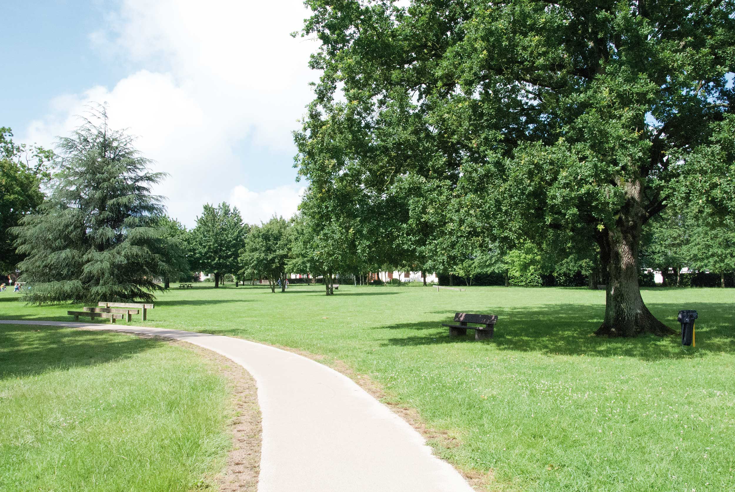
Starting from the Mauves meadow in Nantes, this path runs along the Loire to Mauves-sur-Loire. It is then possible to return on foot, or to take a train.
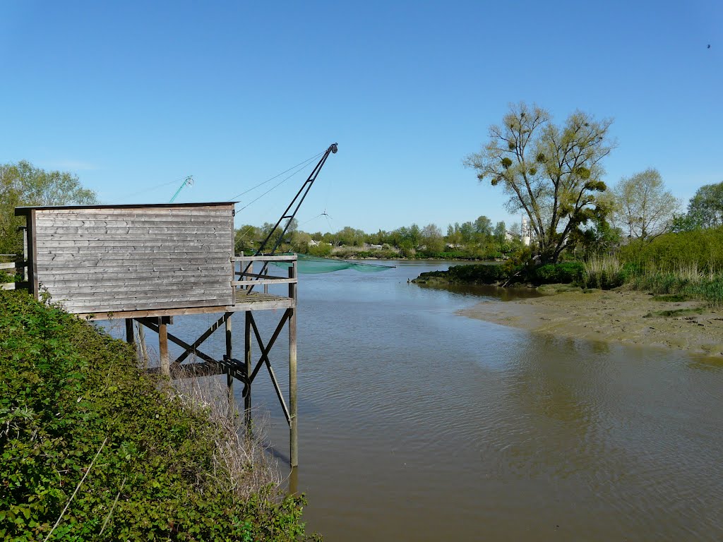
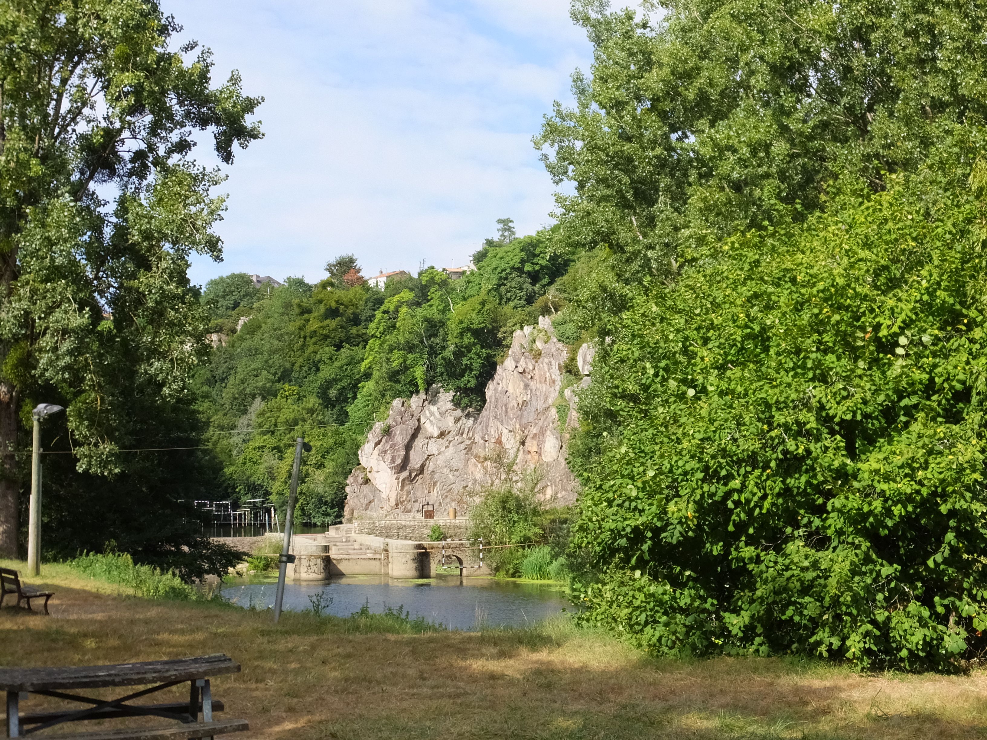
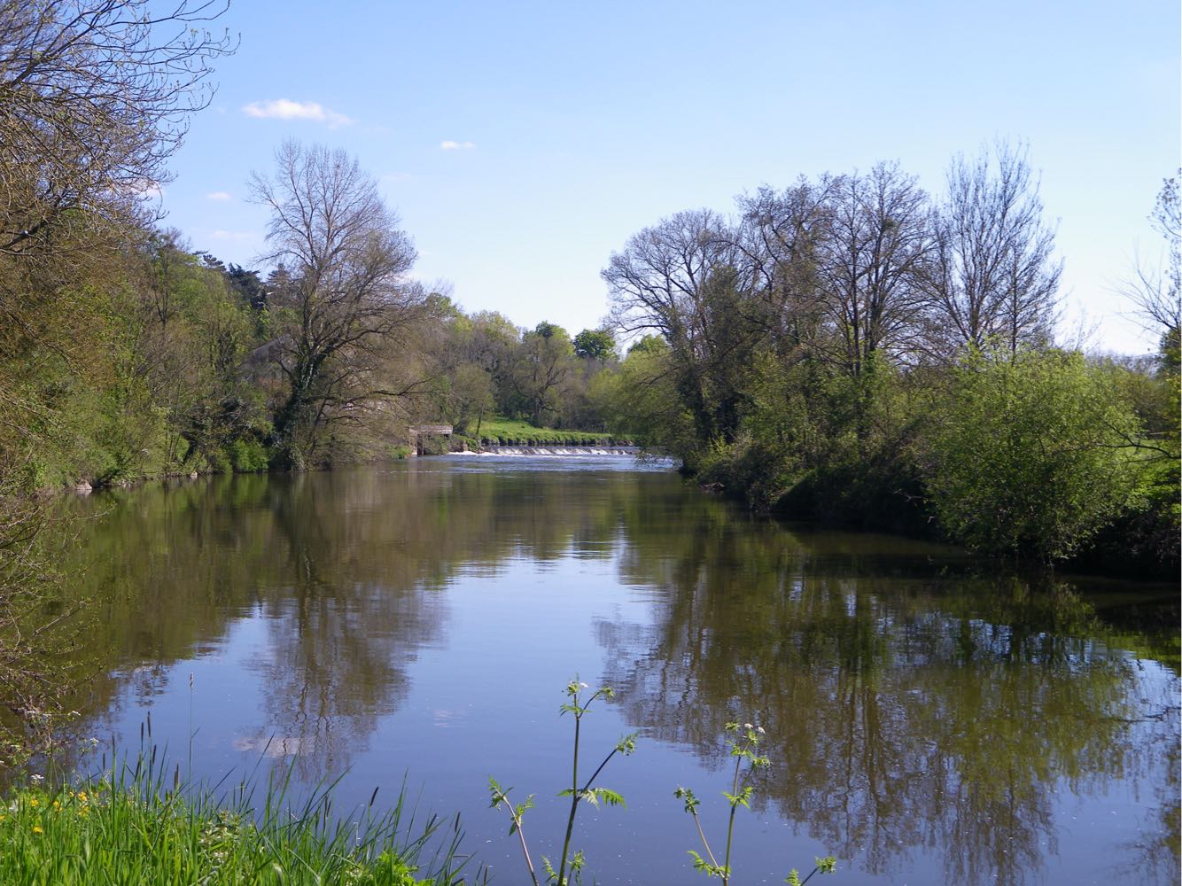
The walk takes place on a relatively unspoiled part of the banks of the Loire, between wet meadows and fields.

Already more than 200,000 users!
Uphill
26m
Highest point
26m
Downhill
25m
Lowest point
8m
Route type
One way
Download the map on your smartphone to save battery and rest assured to always keep access to the route, even without signal.
Includes IGN France and Swisstopo.
Nantes: Tan buses, and parking relais Prairies de Mauves.
Mauves: TER, and car park next to the bridge.
I indicate whether dogs are allowed or prohibited on this trail
All year
2 ratings
Balade sympa le long du fleuve, à l’écart des voitures. C’est globalement plat, et on traverse des prairies et zones humides.
Pas mal de monde les week-ends.
J’ai effectué la moitié de l’itinéraire en aller-retour.
Also enjoy:

Already more than 200,000 users!