Uphill
101m
Length
13km
Duration
3h30min
Elev gain
101m
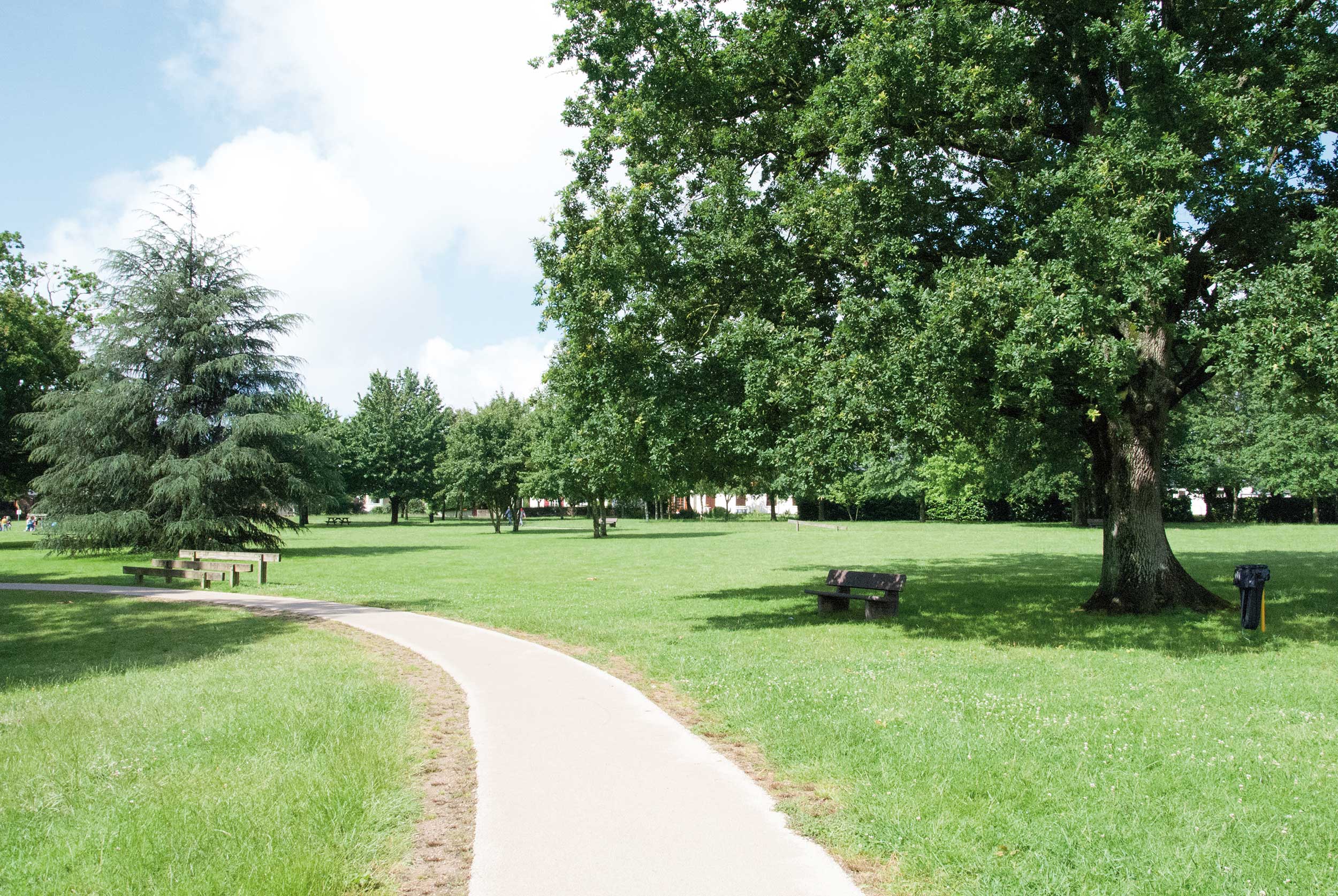
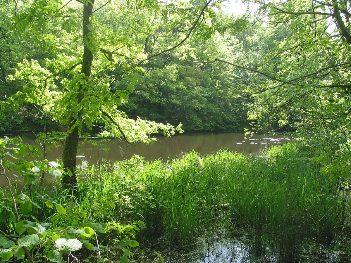
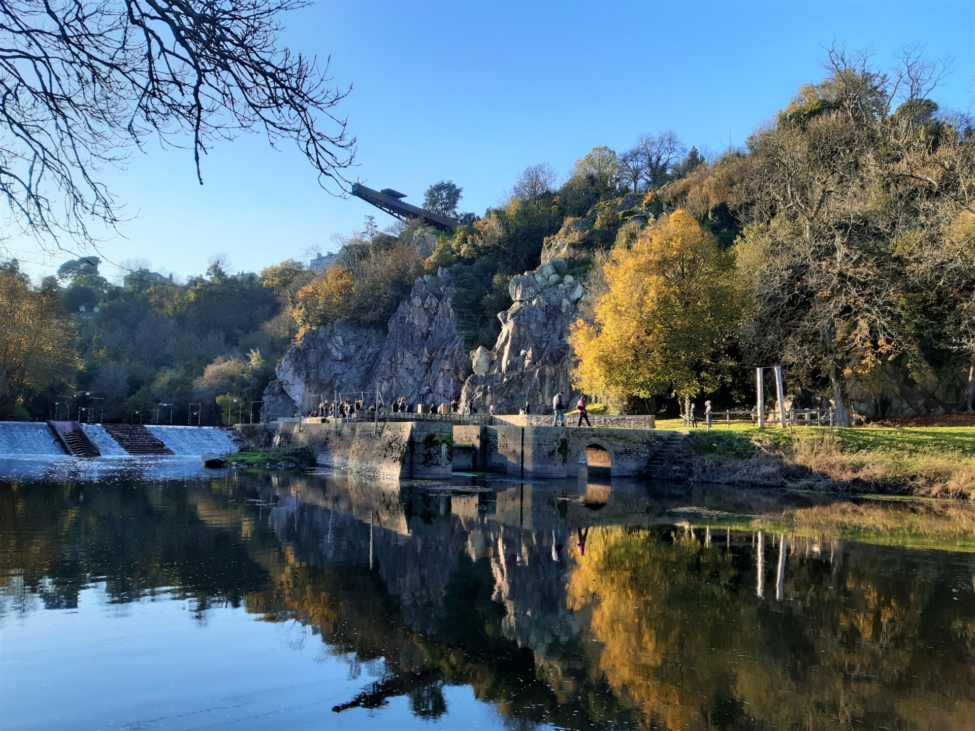
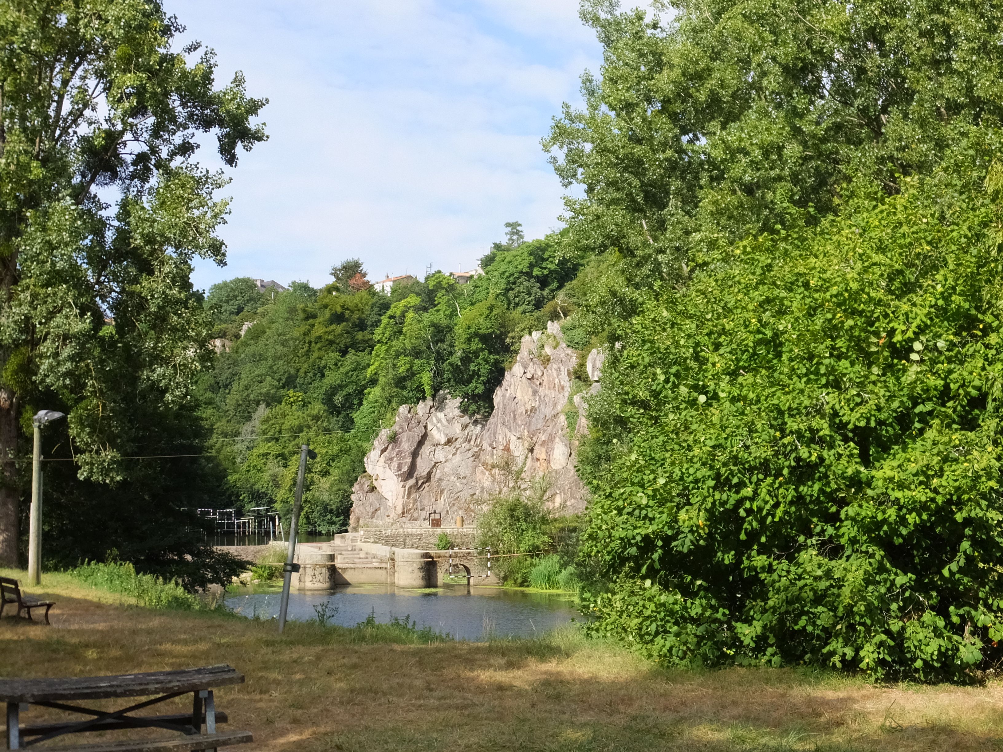
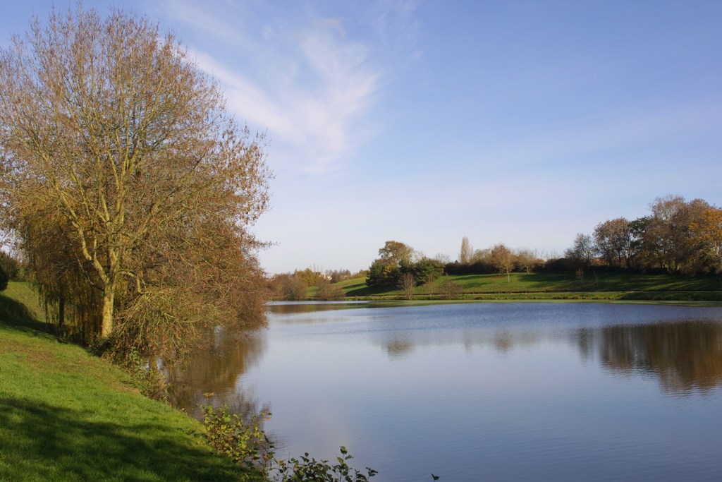
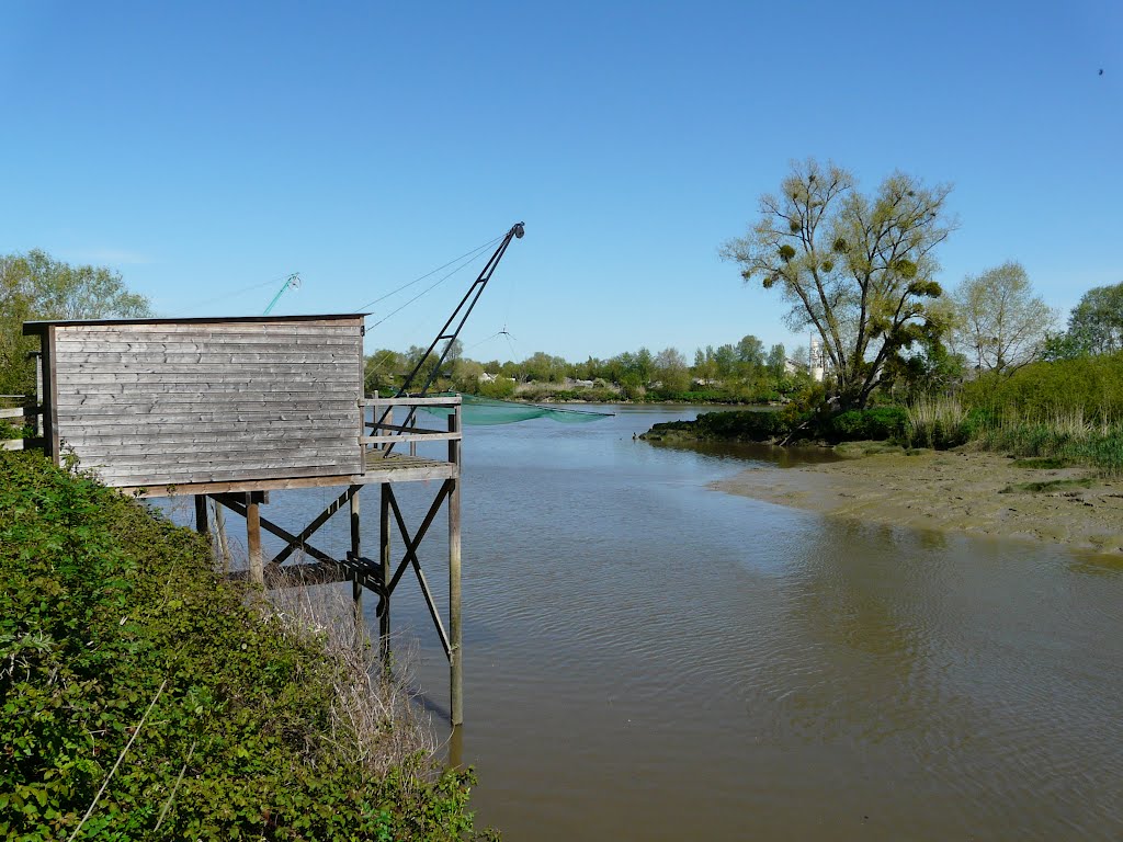
Departing from Bouguenais, this varied trail crosses marshes on the banks of the Loire, runs along the old Roche Ballue quarry, then winds between undergrowth and hamlets.

Already more than 200,000 users!
Uphill
101m
Highest point
51m
Downhill
101m
Lowest point
5m
Route type
Loop
Download the map on your smartphone to save battery and rest assured to always keep access to the route, even without signal.
Includes IGN France and Swisstopo.
I indicate whether dogs are allowed or prohibited on this trail
All year
0 ratings
Also enjoy:

Already more than 200,000 users!