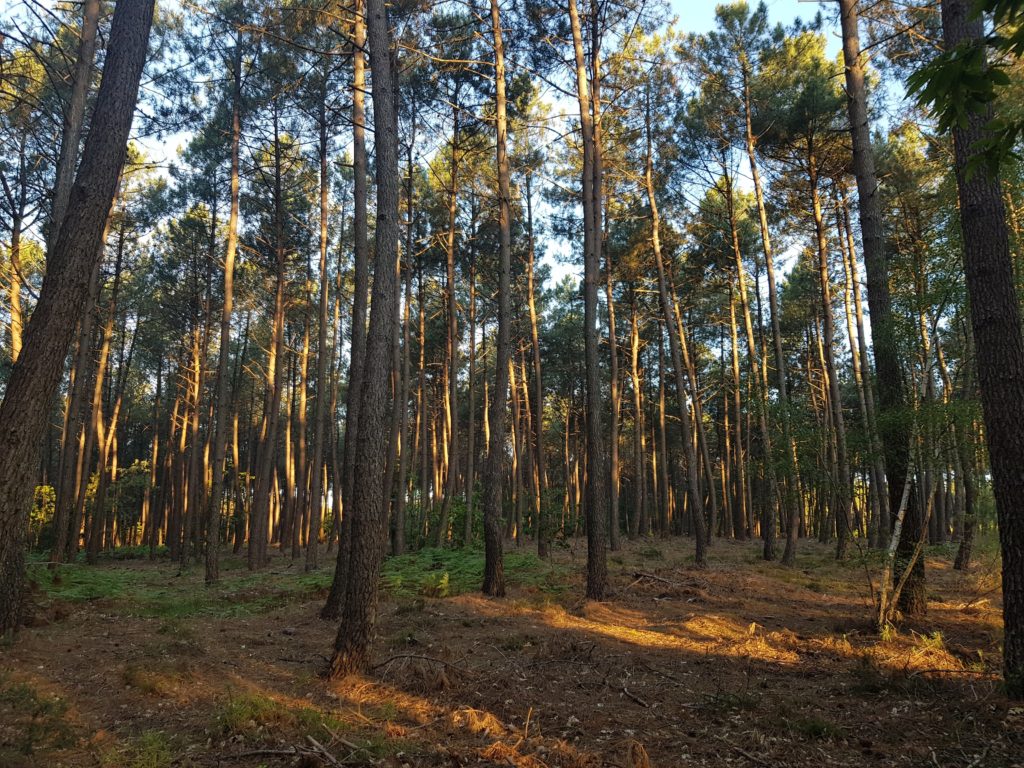
Uphill
123m
Length
4km
Duration
1h
Elev gain
123m
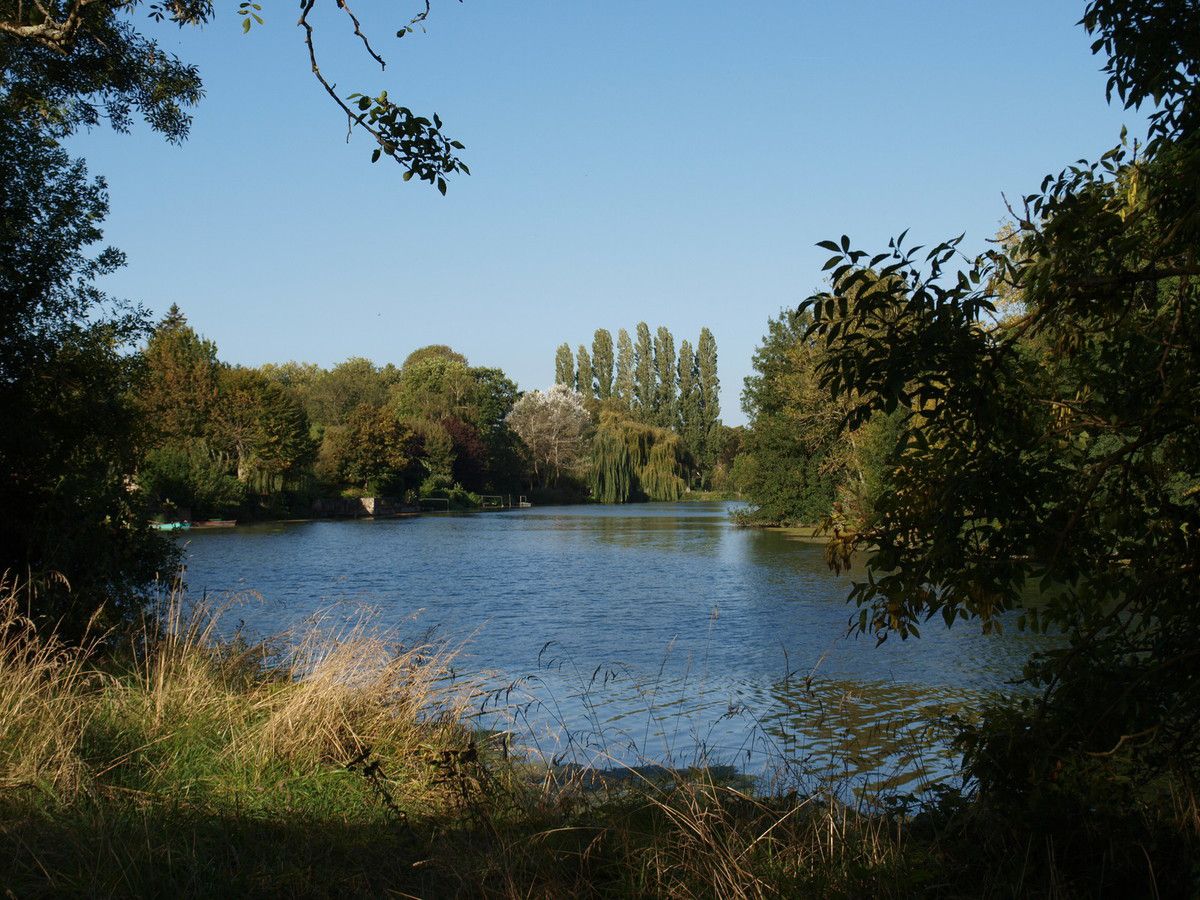
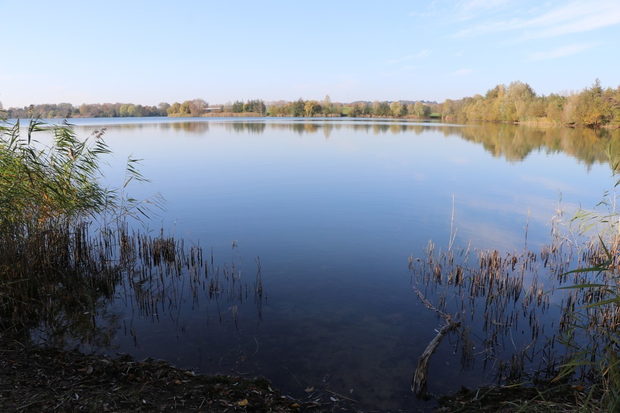
Walk around Lac de la Monnerie, on the shores of which there is a leisure center.

Already more than 200,000 users!
Uphill
123m
Highest point
55m
Downhill
123m
Lowest point
0m
Route type
Loop
Download the map on your smartphone to save battery and rest assured to always keep access to the route, even without signal.
Includes IGN France and Swisstopo.
I indicate whether dogs are allowed or prohibited on this trail
All year
0 ratings
Also enjoy:

Already more than 200,000 users!