Uphill
283m
Length
10km
Duration
3h
Elev gain
283m
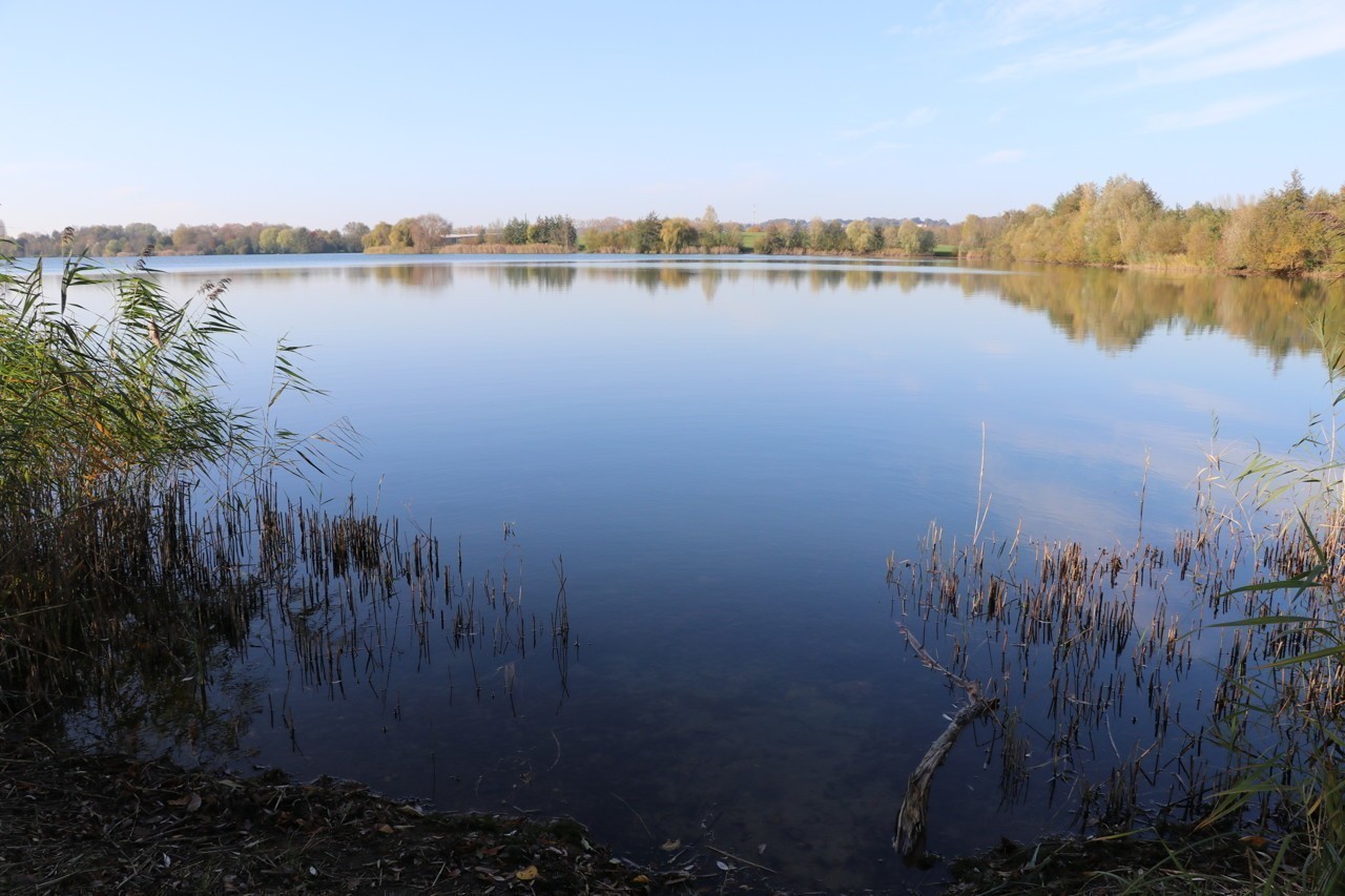
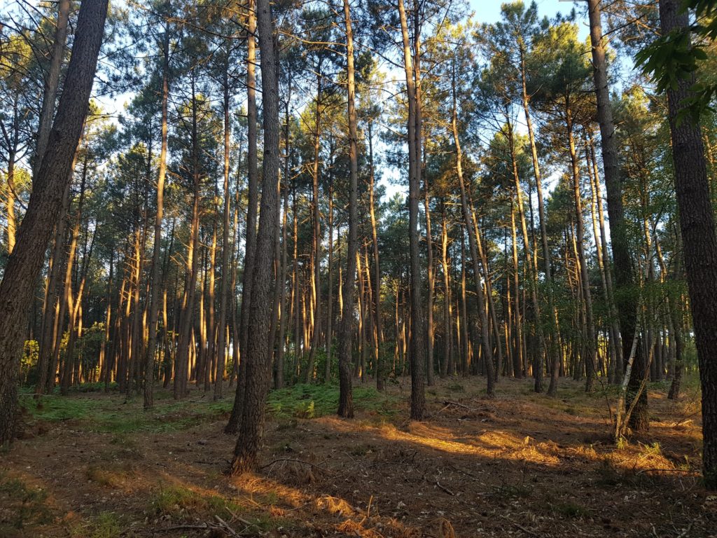
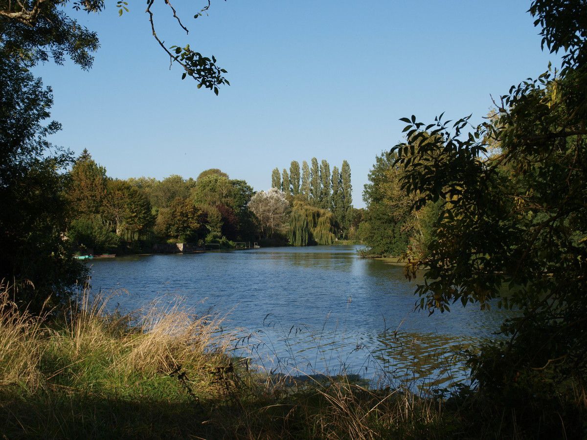
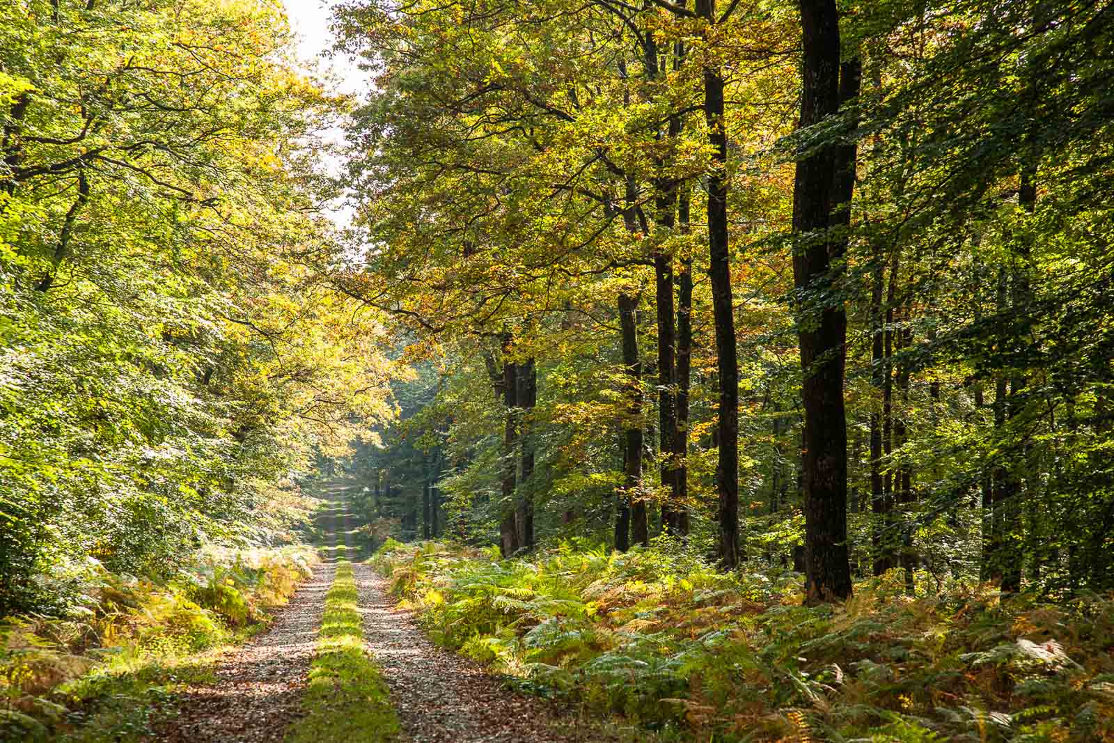
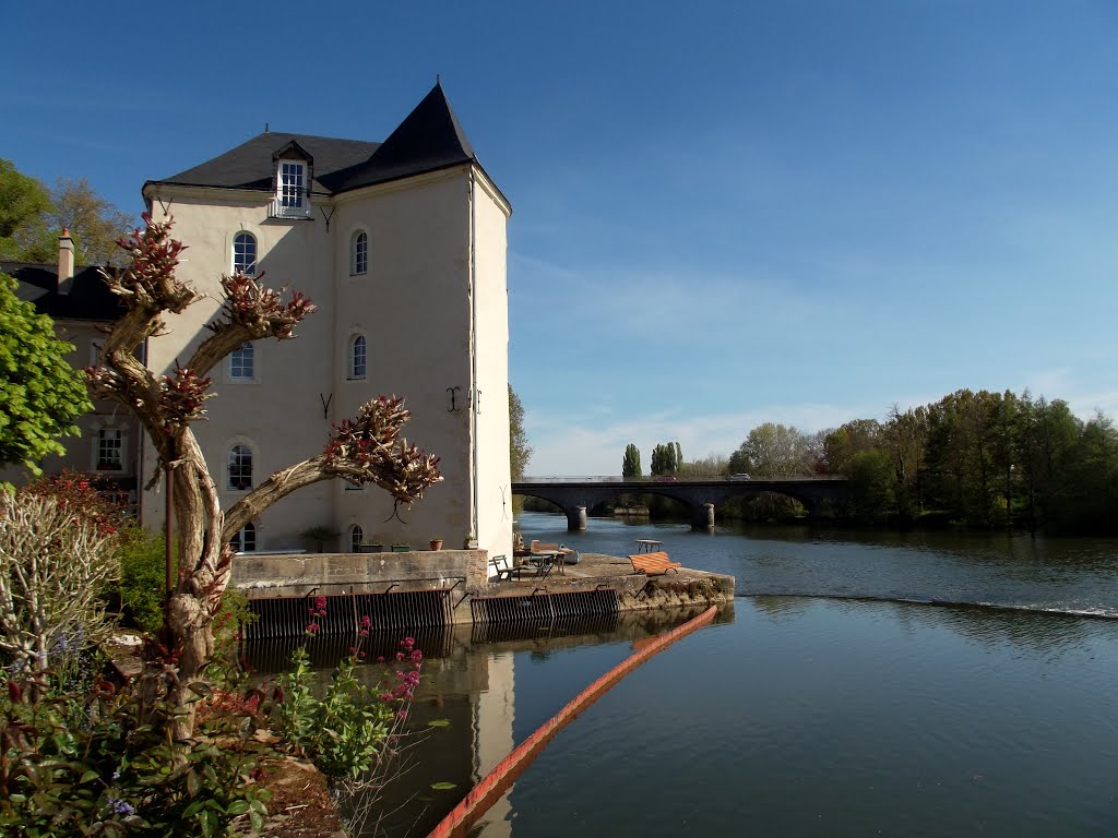
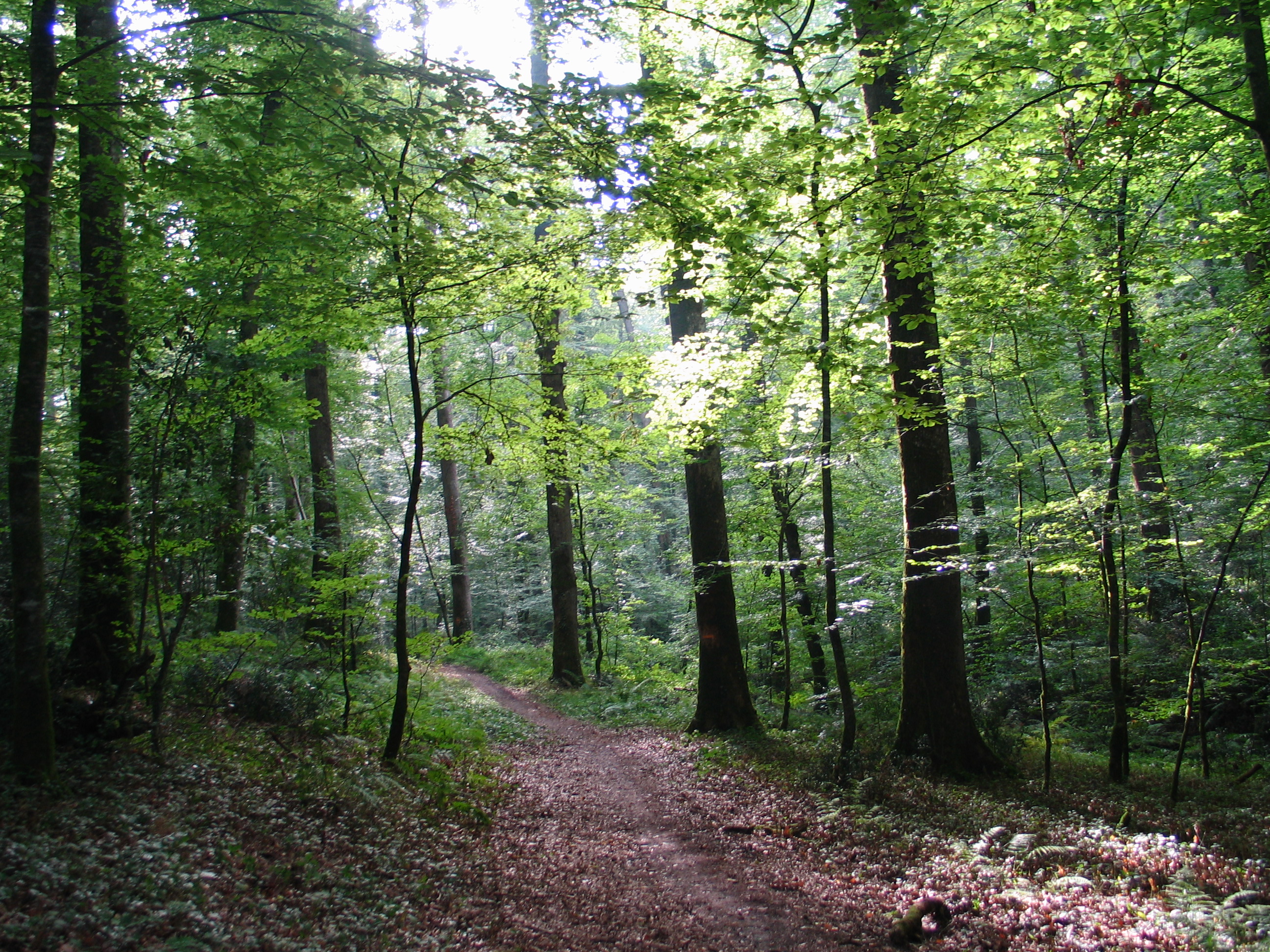
Departing from Saint-Jean-de-la-Motte, this route winds through the pretty wood of Gallerande to the castle of the same name. It also offers a view of the Loir valley.

Already more than 200,000 users!
Uphill
283m
Highest point
141m
Downhill
283m
Lowest point
24m
Route type
Loop
Download the map on your smartphone to save battery and rest assured to always keep access to the route, even without signal.
Includes IGN France and Swisstopo.
I indicate whether dogs are allowed or prohibited on this trail
All year
1 rating
Also enjoy:

Already more than 200,000 users!