Uphill
206m
Length
12km
Duration
3h30min
Elev gain
206m
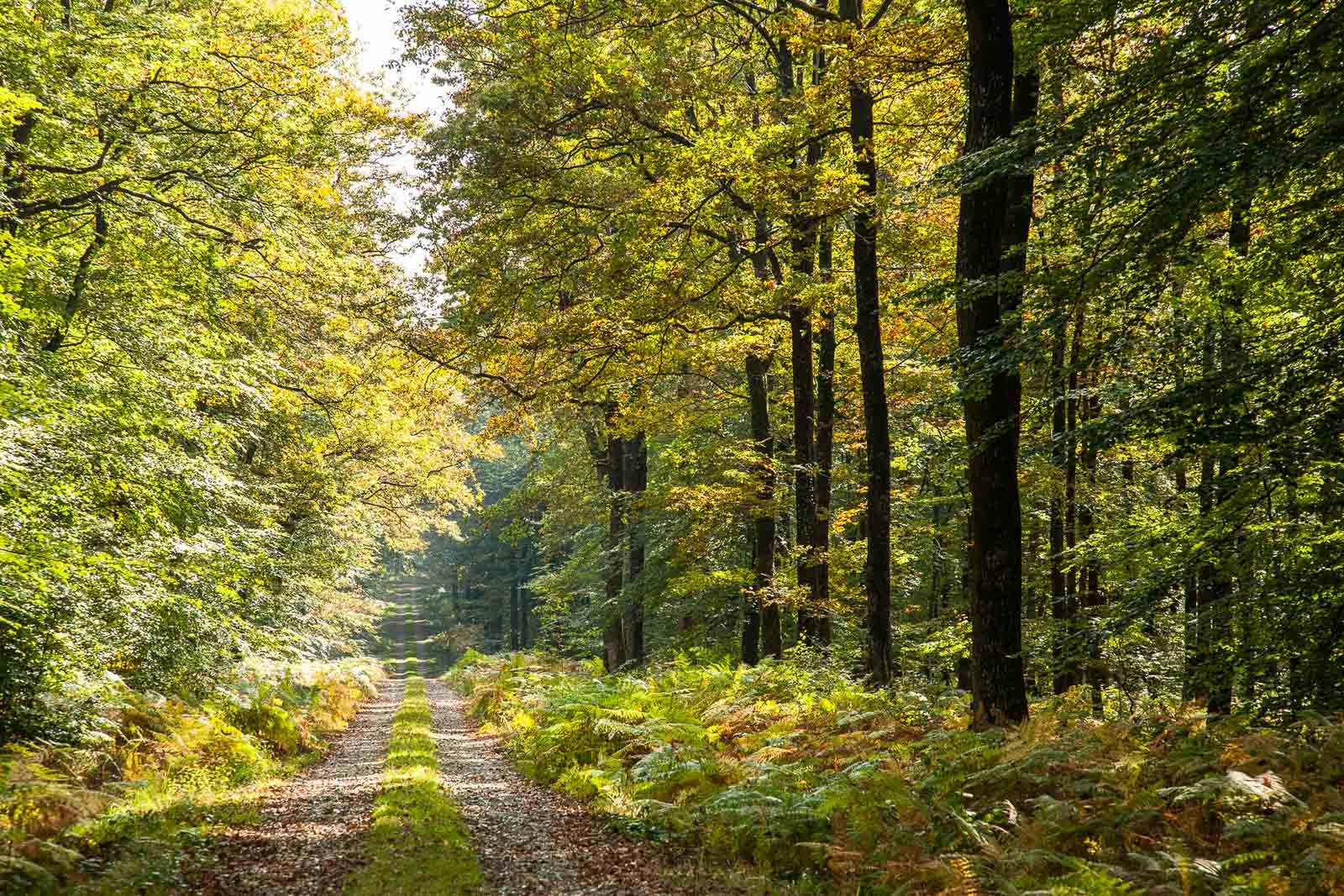
Departing from the lake of Fort des Salles in Mayet, this circuit alternates between countryside and forest of Bercé.
It is known locally as the "Tour du Pylône".

Already more than 200,000 users!
Uphill
206m
Highest point
188m
Downhill
206m
Lowest point
89m
Route type
Loop
Download the map on your smartphone to save battery and rest assured to always keep access to the route, even without signal.
Includes IGN France and Swisstopo.
I indicate whether dogs are allowed or prohibited on this trail
All year
1 rating
Les sections en forêt sont belles. Mais trop de sections sur goudron...😒
Also enjoy:

Already more than 200,000 users!


