Uphill
232m

Length
16km
Duration
4h30min
Elev gain
232m
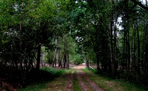
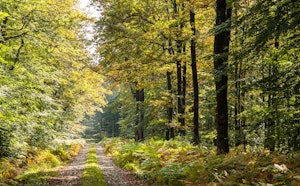
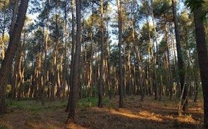
Departing from Saint-Vincent-du-Lorouër, this walk in the forest of Bercé heads to the Futaie des Clos, where oaks over 45 meters high can be admired.
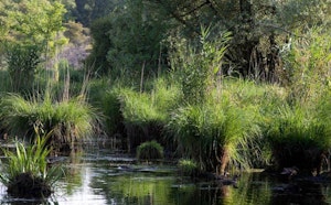
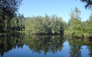
The path also runs along a pond and crosses the Hermitière.

Already more than 200,000 users!
Uphill
232m
Highest point
185m
Downhill
232m
Lowest point
63m
Route type
Loop
Download the map on your smartphone to save battery and rest assured to always keep access to the route, even without signal.
Includes IGN France and Swisstopo.
I indicate whether dogs are allowed or prohibited on this trail
All year
0 ratings
Also enjoy:

Already more than 200,000 users!