Uphill
76m
Length
6km
Duration
1h30min
Elev gain
76m
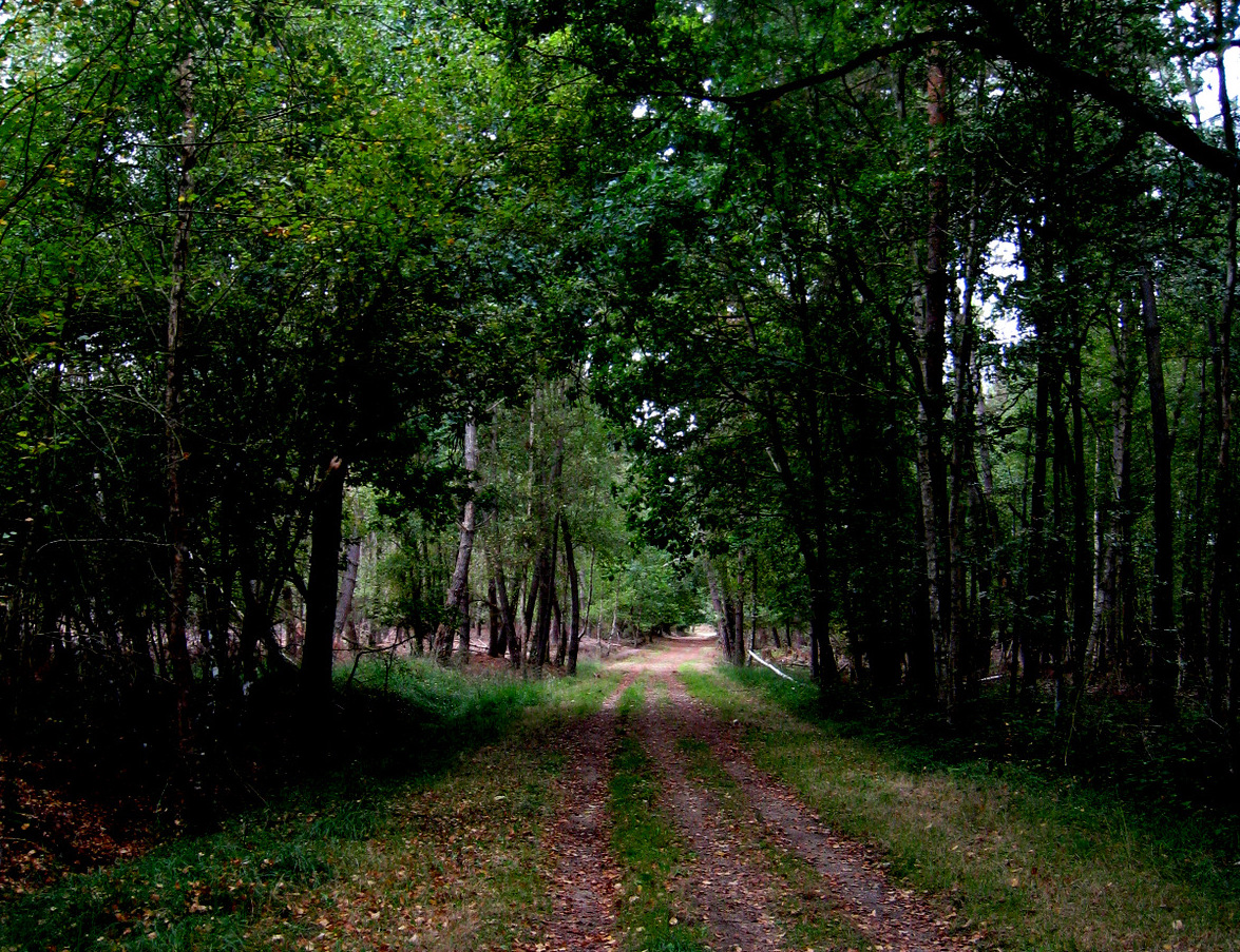
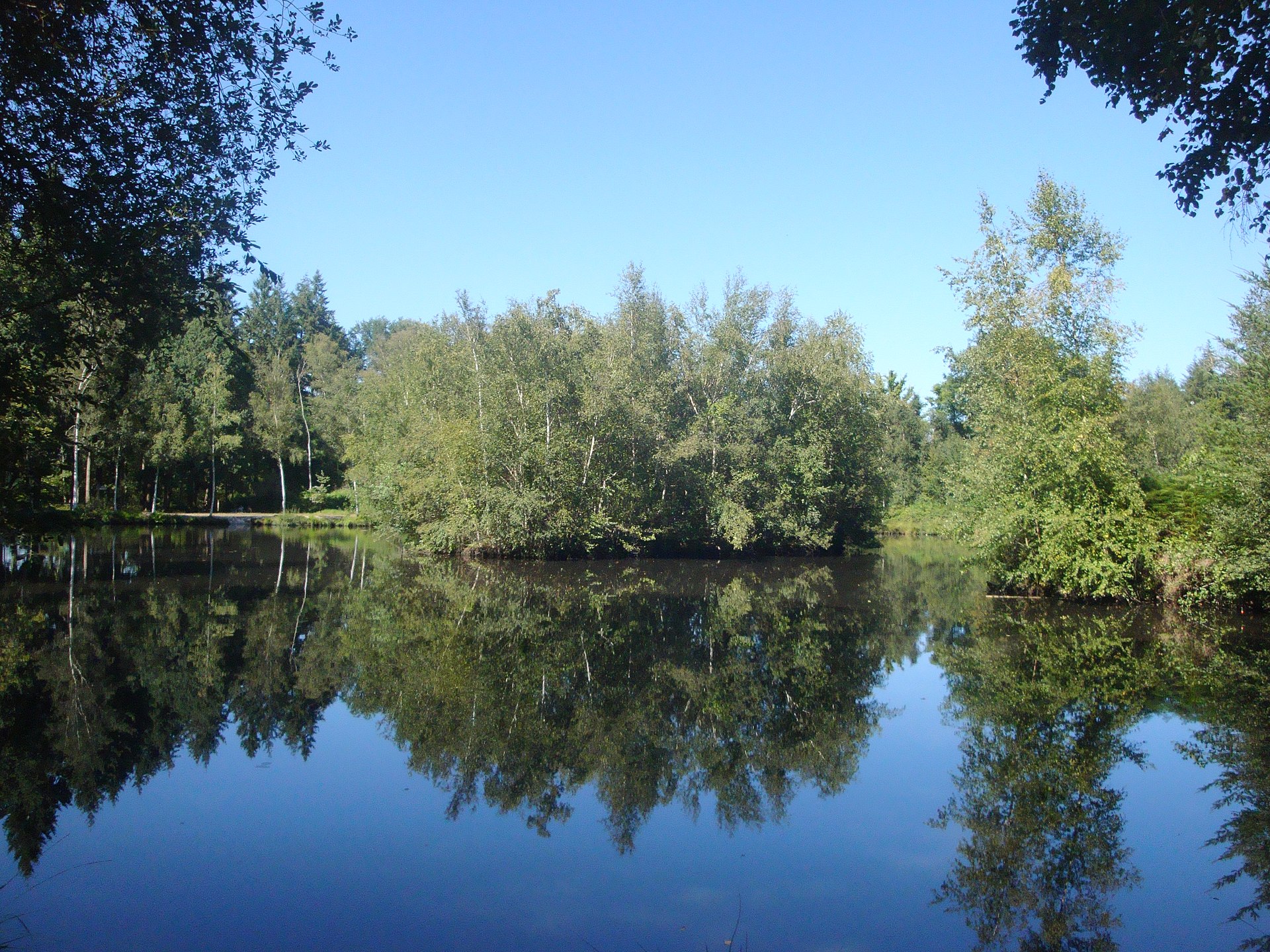
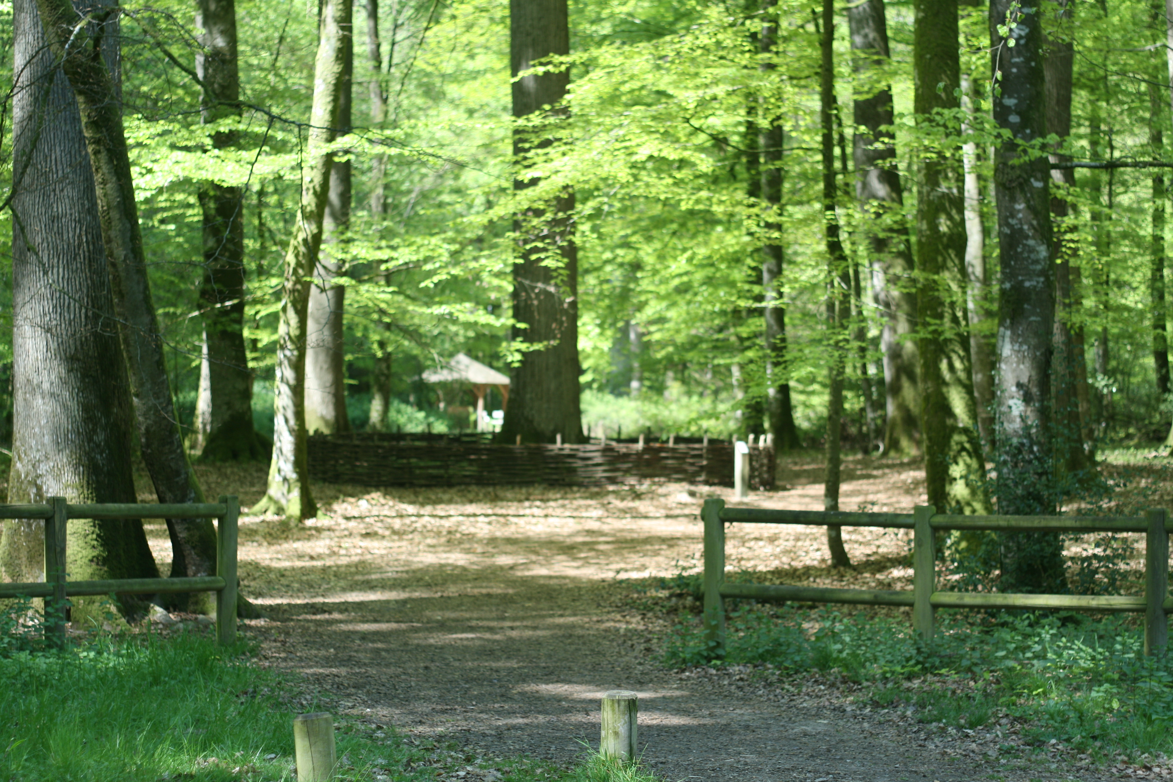
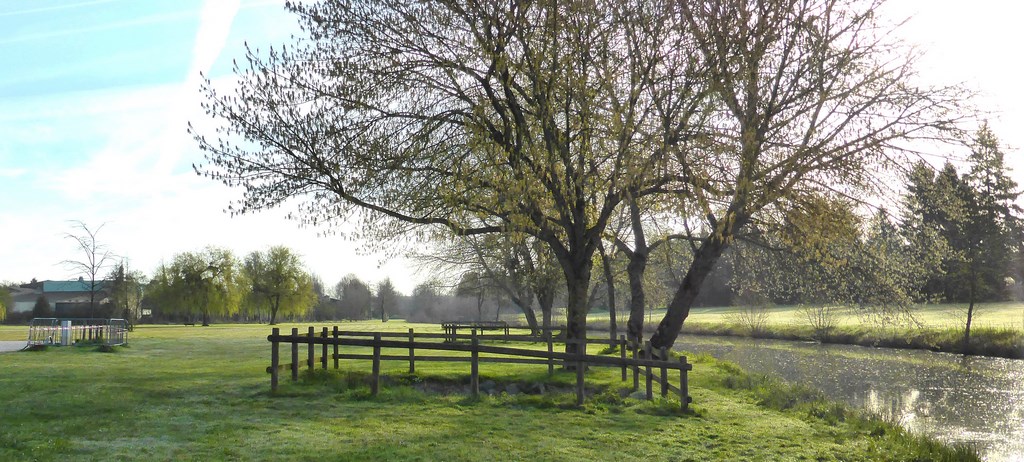
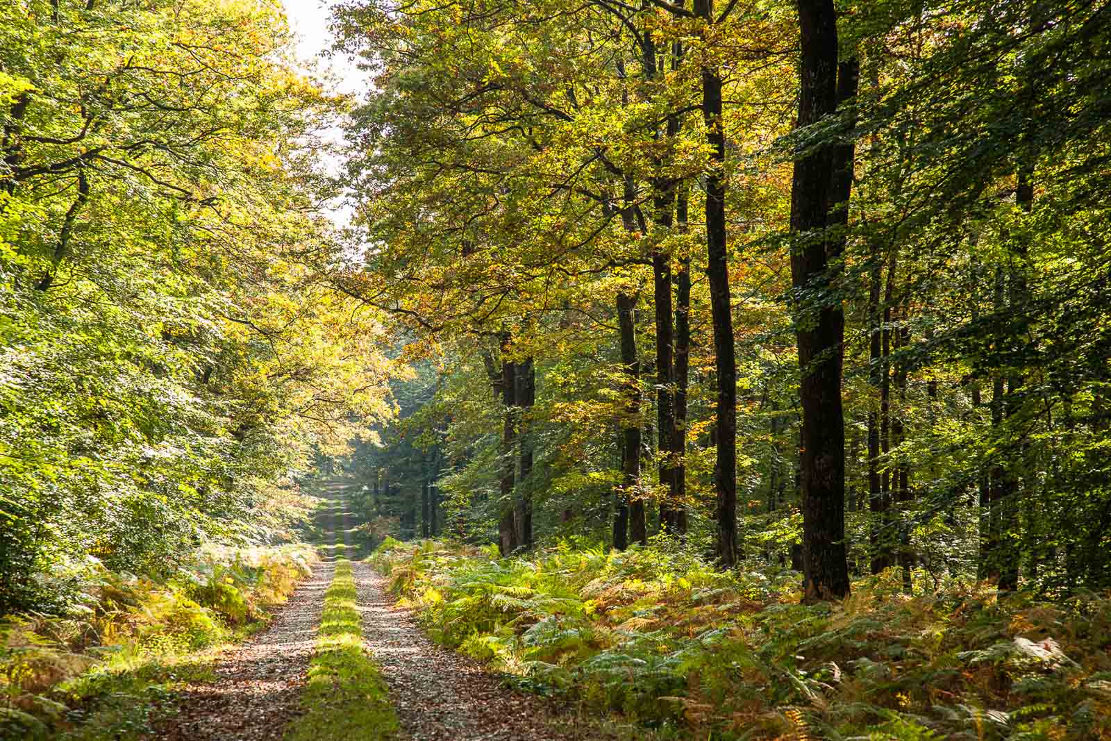
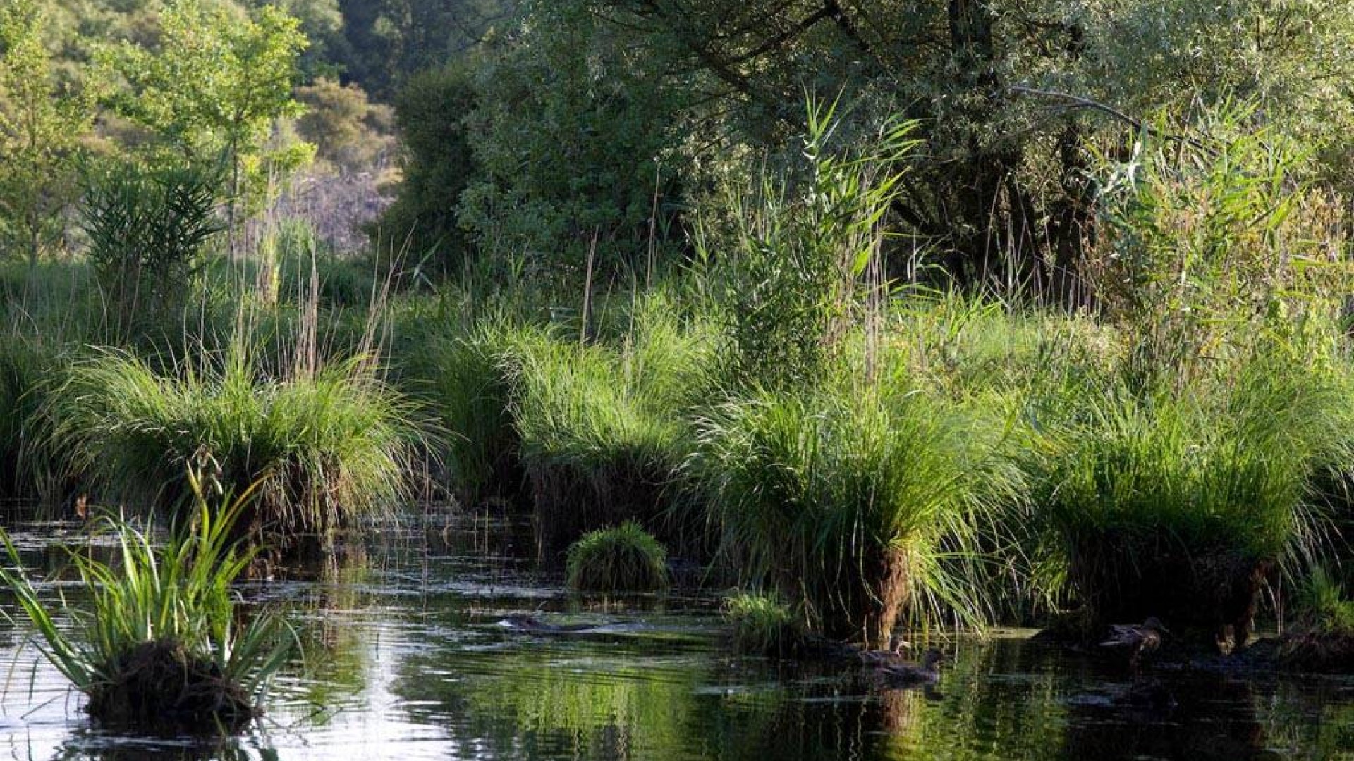
Walk around the Loudon pond, in the wood of the same name. The place is of interest because of its strong ecological diversity: ponds, peaty areas, wet and dry moors, lawns, forests.

Already more than 200,000 users!
Uphill
76m
Highest point
118m
Downhill
76m
Lowest point
61m
Route type
Loop
Download the map on your smartphone to save battery and rest assured to always keep access to the route, even without signal.
Includes IGN France and Swisstopo.
I indicate whether dogs are allowed or prohibited on this trail
All year
1 rating
Also enjoy:

Already more than 200,000 users!