Uphill
147m
Length
7km
Duration
2h
Elev gain
147m
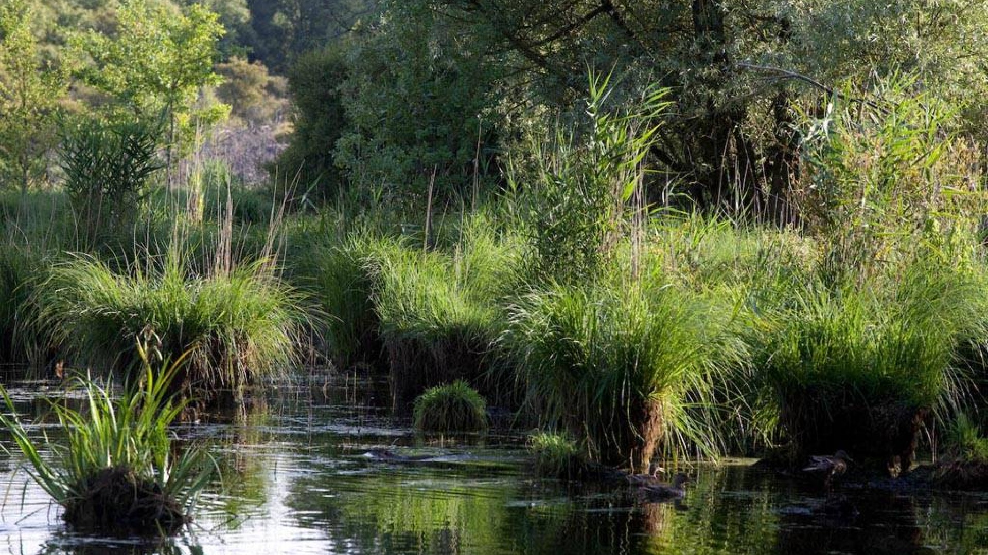
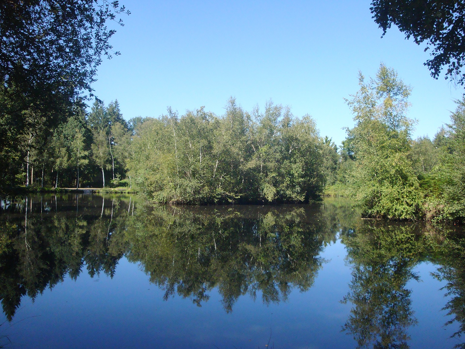
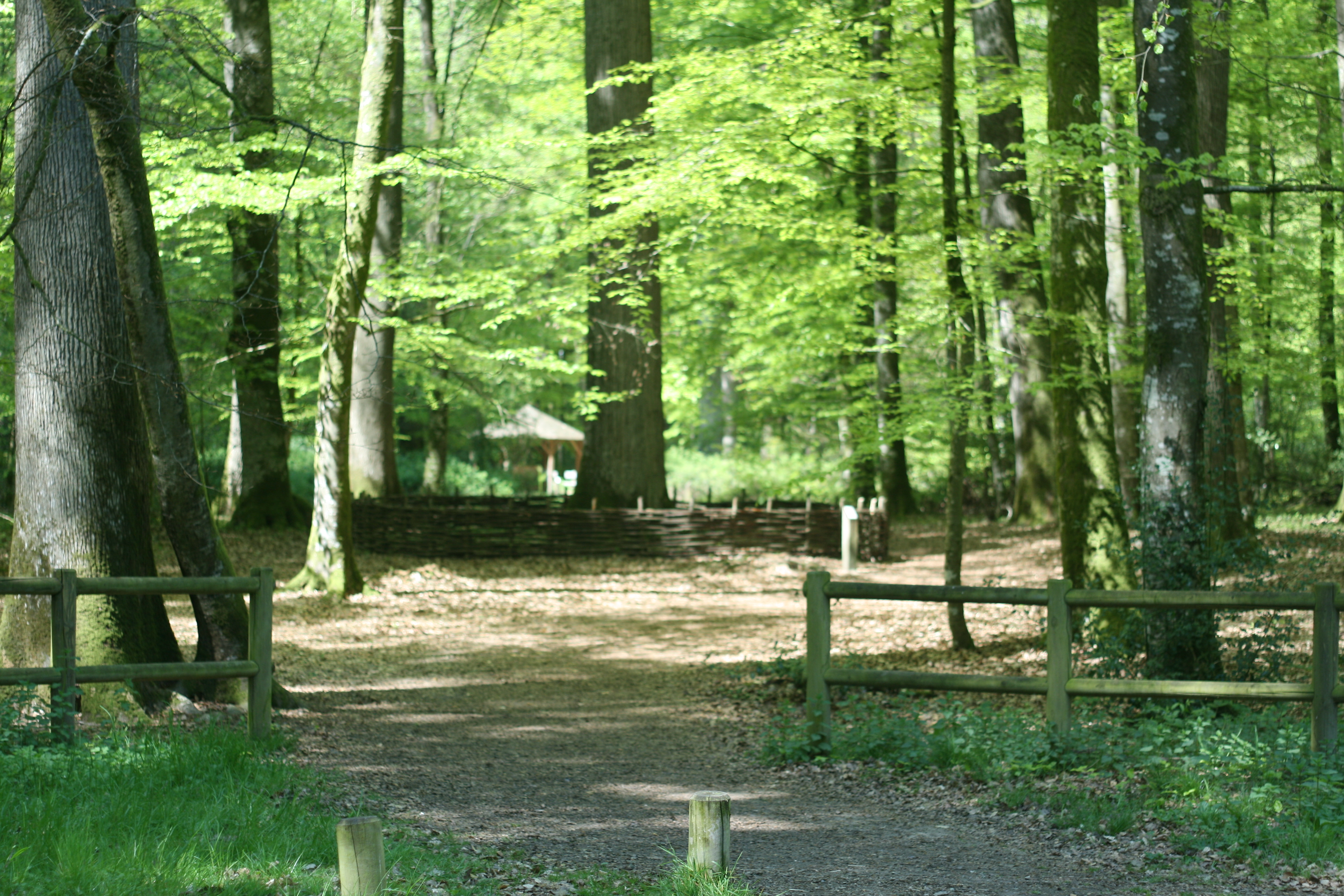
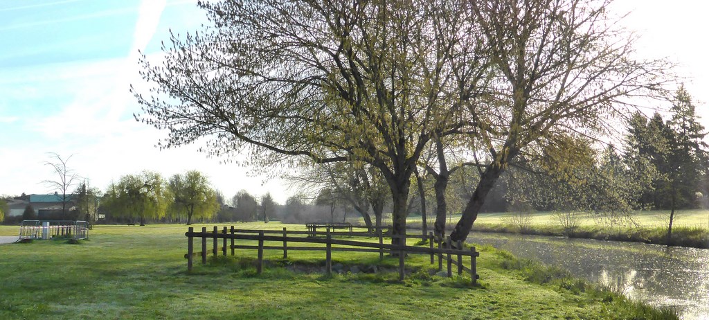
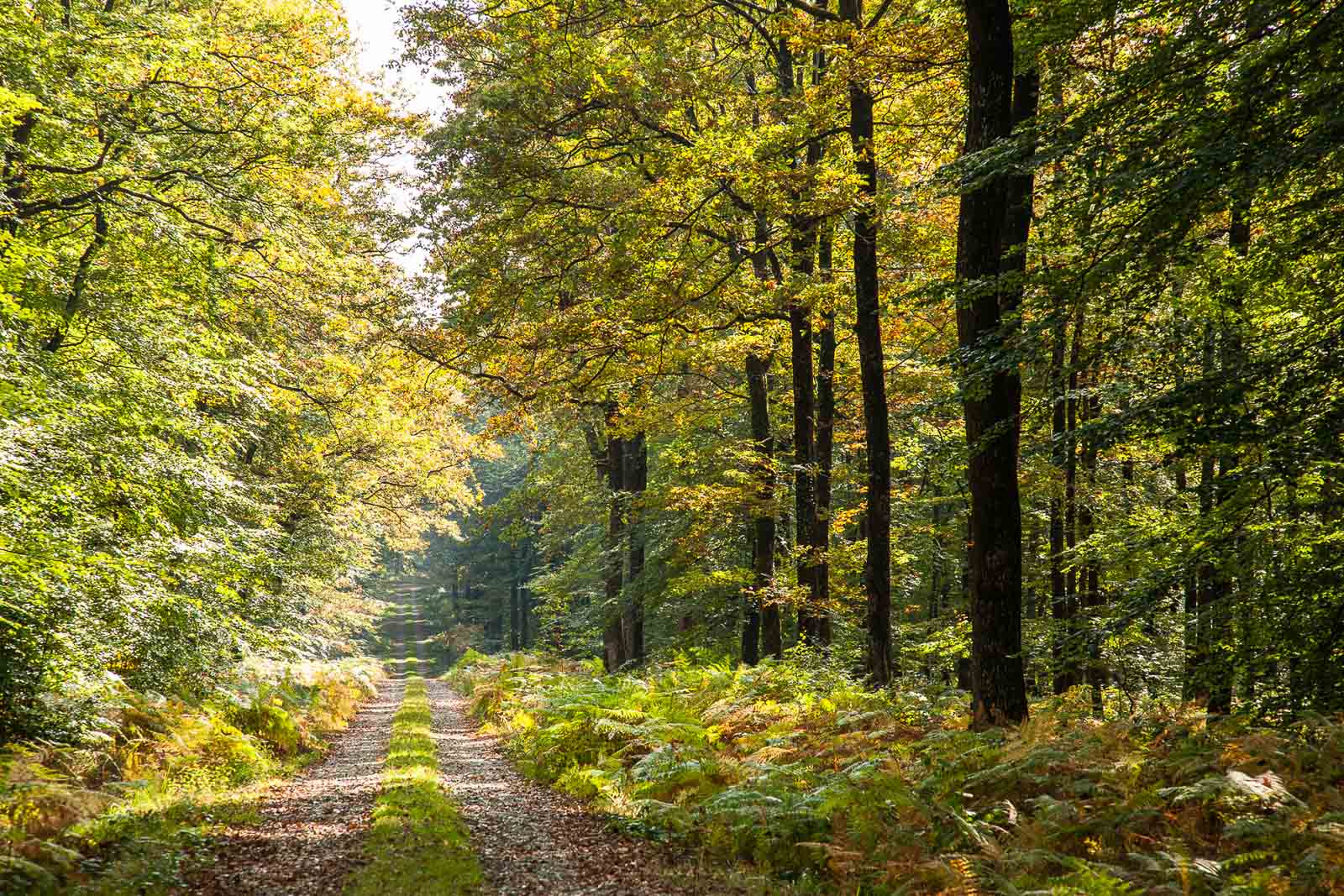
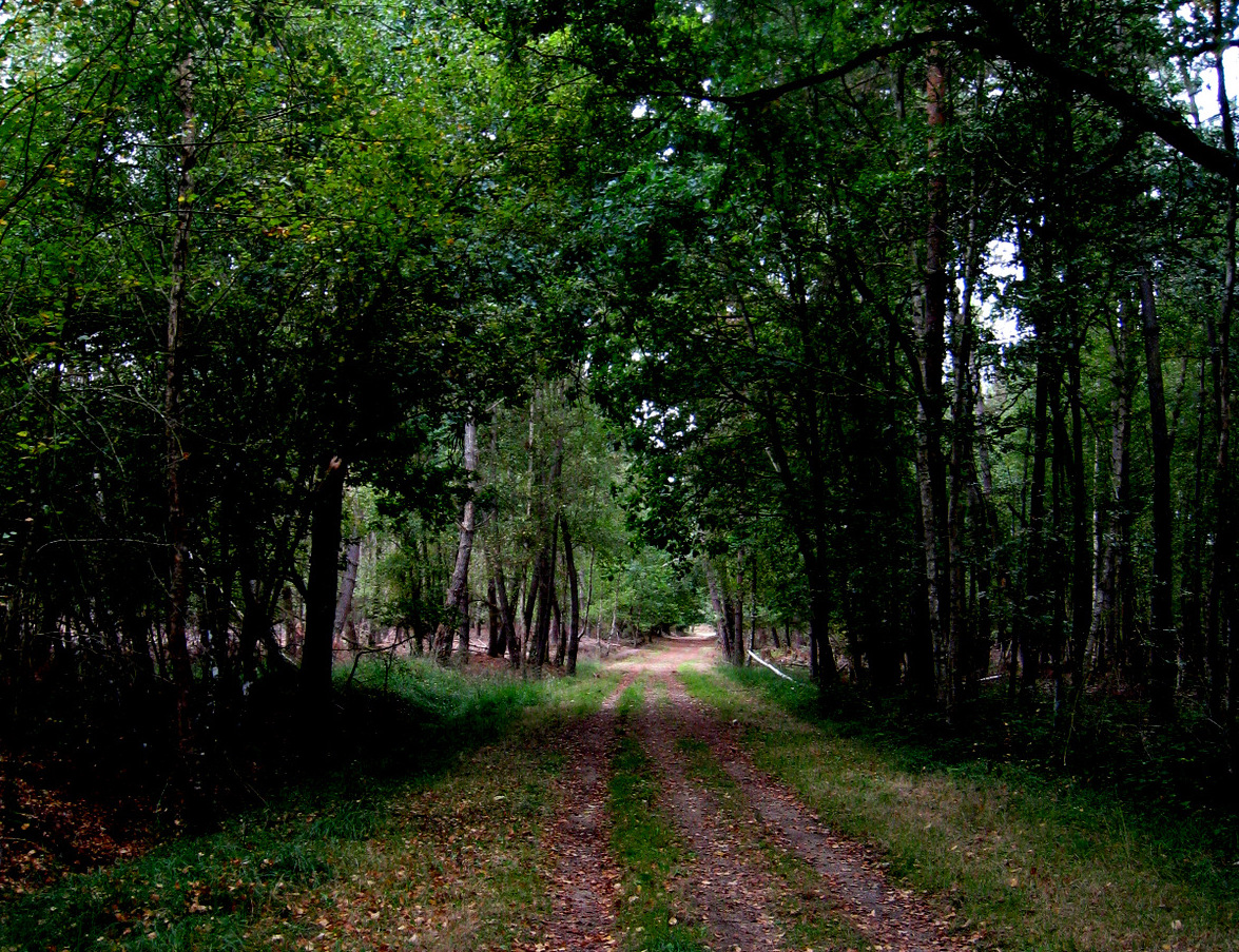
From the pond of Loudon, here is a pretty walk almost entirely in the forest, apart from the bypass of Loudonneaux.

Already more than 200,000 users!
Uphill
147m
Highest point
133m
Downhill
147m
Lowest point
44m
Route type
Loop
Download the map on your smartphone to save battery and rest assured to always keep access to the route, even without signal.
Includes IGN France and Swisstopo.
I indicate whether dogs are allowed or prohibited on this trail
All year
1 rating
Also enjoy:

Already more than 200,000 users!