Uphill
14m
Length
4km
Duration
1h
Elev gain
14m
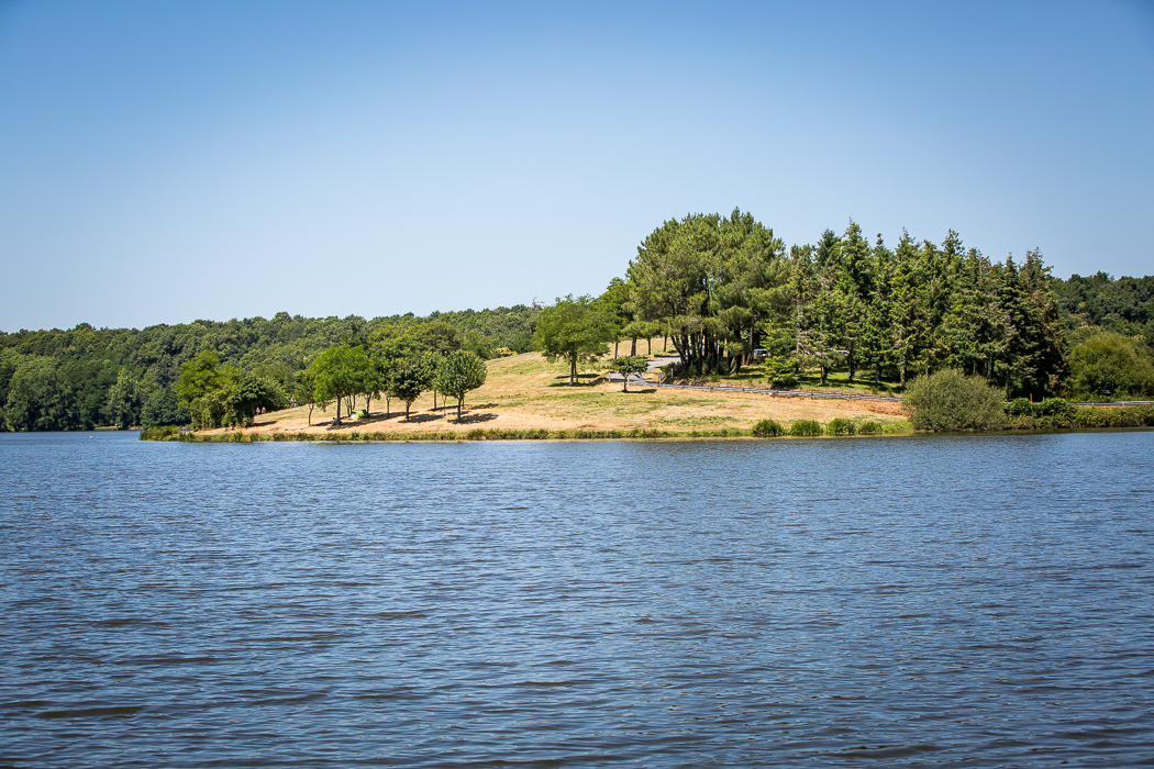
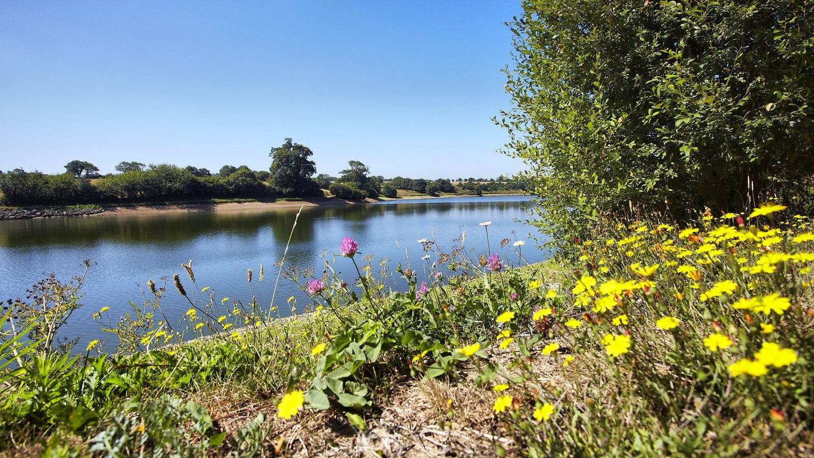
Pleasant and shaded walk around the lake of Gué Gorand, which was created by a dam in 1990.

Already more than 200,000 users!
Uphill
14m
Highest point
31m
Downhill
14m
Lowest point
17m
Route type
Loop
Download the map on your smartphone to save battery and rest assured to always keep access to the route, even without signal.
Includes IGN France and Swisstopo.
I indicate whether dogs are allowed or prohibited on this trail
All year
3 ratings
Also enjoy:

Already more than 200,000 users!