Uphill
101m
Length
8km
Duration
2h
Elev gain
101m
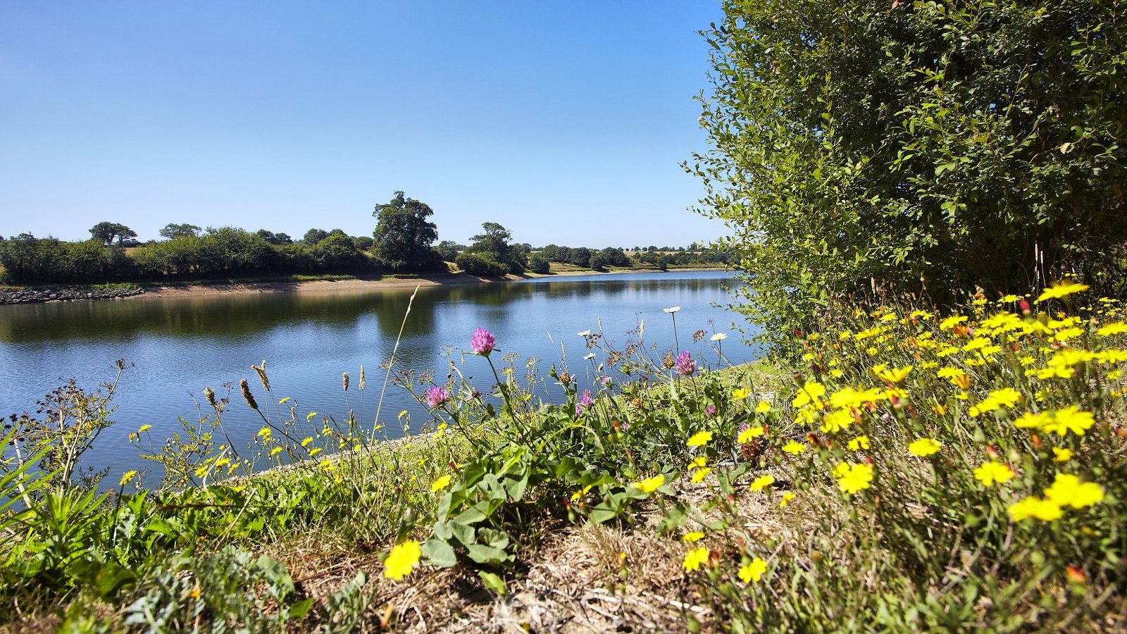
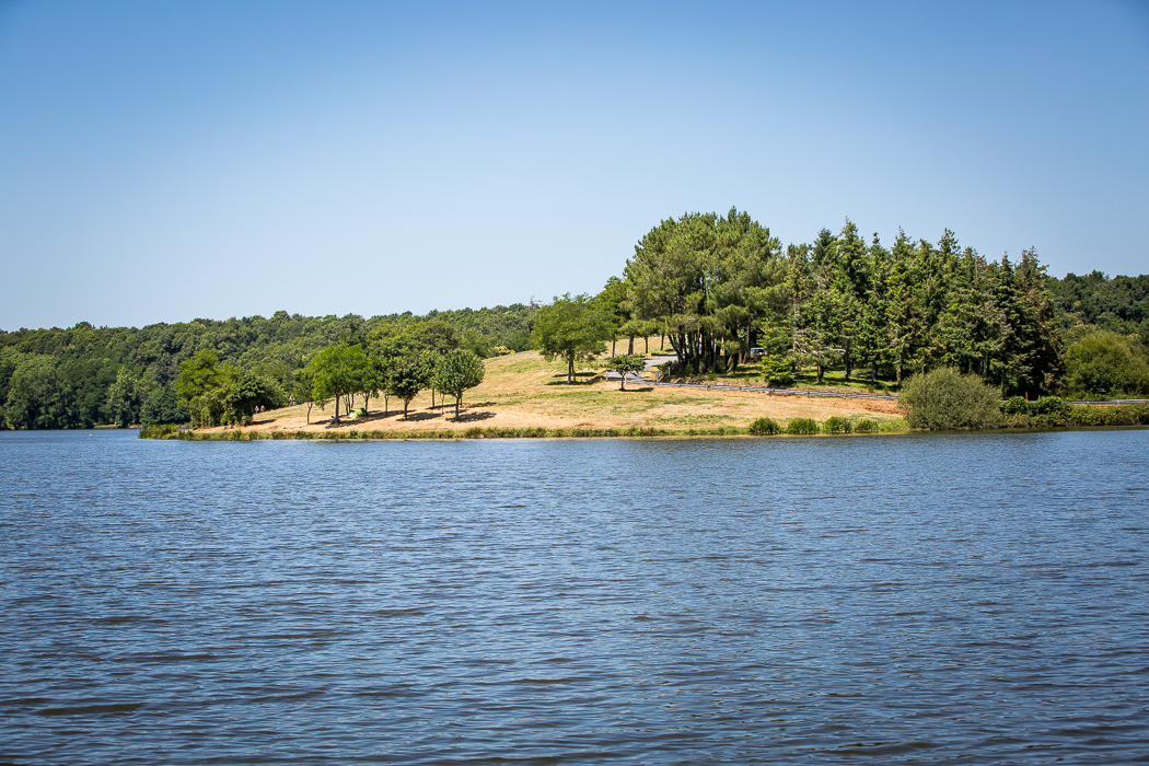
A trail around the western half of the Jaunay reservoir. Can be slippery in rainy weather.

Already more than 200,000 users!
Uphill
101m
Highest point
59m
Downhill
101m
Lowest point
9m
Route type
Loop
Download the map on your smartphone to save battery and rest assured to always keep access to the route, even without signal.
Includes IGN France and Swisstopo.
I indicate whether dogs are allowed or prohibited on this trail
All year
1 rating
Also enjoy:

Already more than 200,000 users!