Uphill
156m
Length
3km
Duration
1h30min
Elev gain
156m
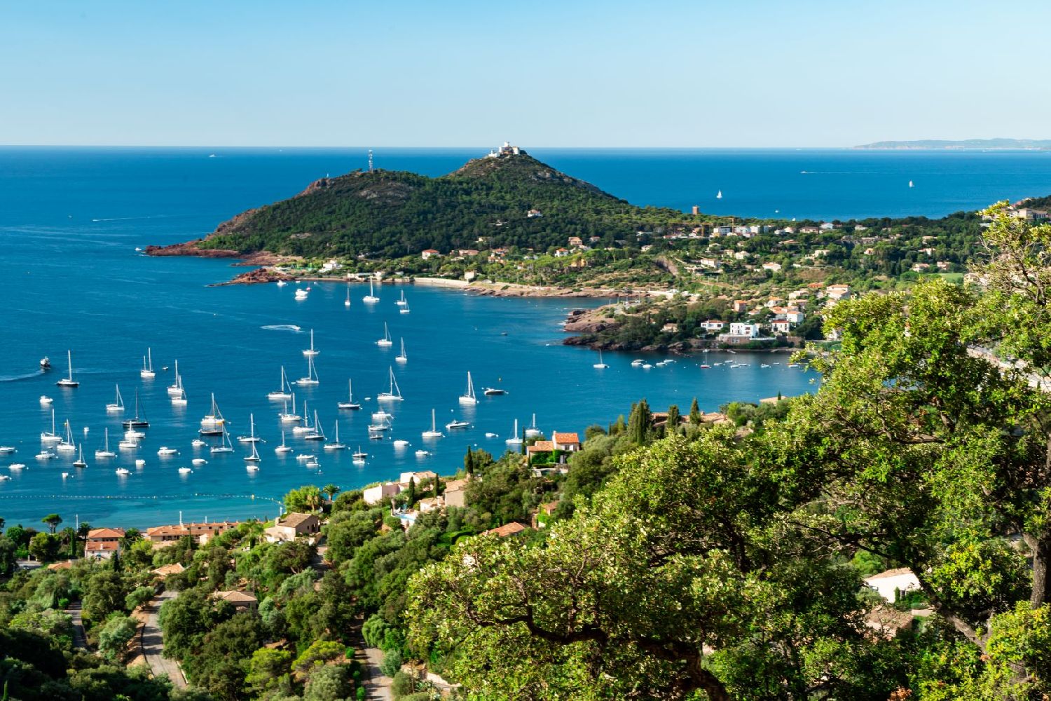
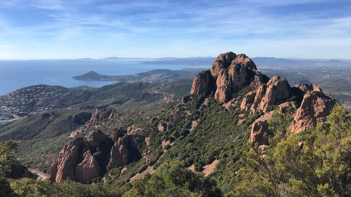
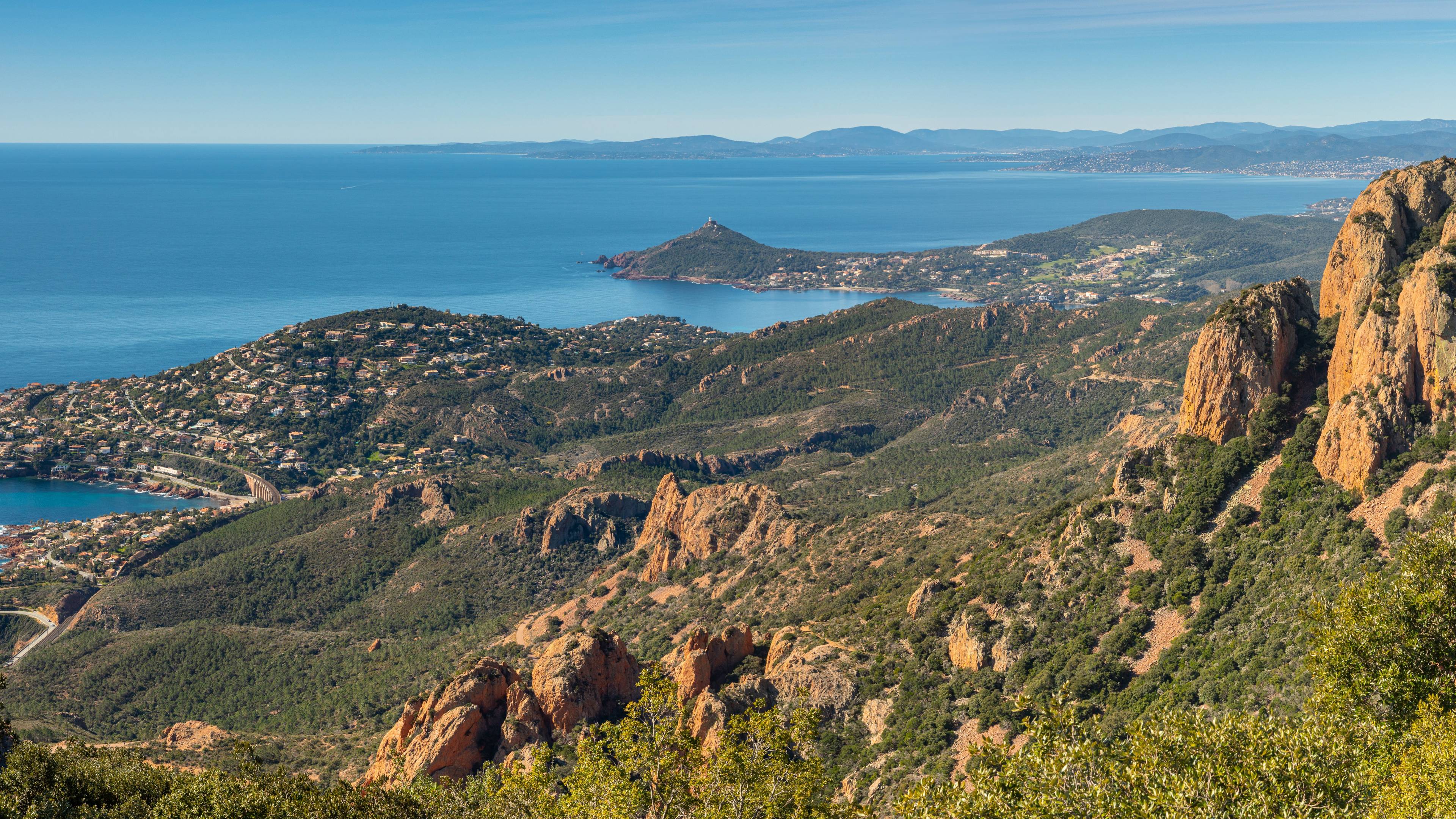
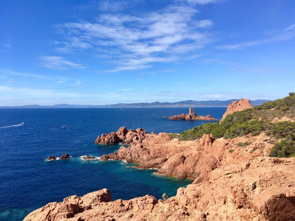
Short walk, which offers superb views of the Ile d'Or, the bay of Agay and as far as the Estérel.

Already more than 200,000 users!
Uphill
156m
Highest point
89m
Downhill
156m
Lowest point
7m
Route type
Loop
Download the map on your smartphone to save battery and rest assured to always keep access to the route, even without signal.
Includes IGN France and Swisstopo.
Parking next to the beach of Camp Long.
Gare du Dramont (TER) is nearby.
I indicate whether dogs are allowed or prohibited on this trail
All year
2 ratings
Formidable
Also enjoy:

Already more than 200,000 users!