Uphill
134m
Length
8km
Duration
2h30min
Elev gain
134m
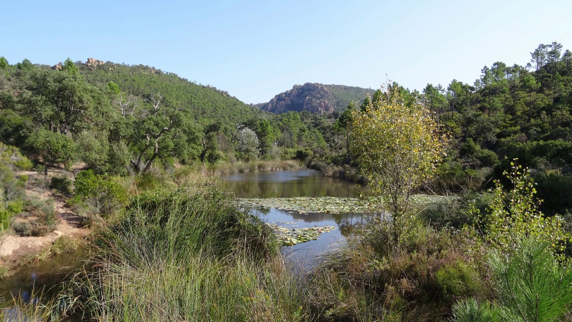
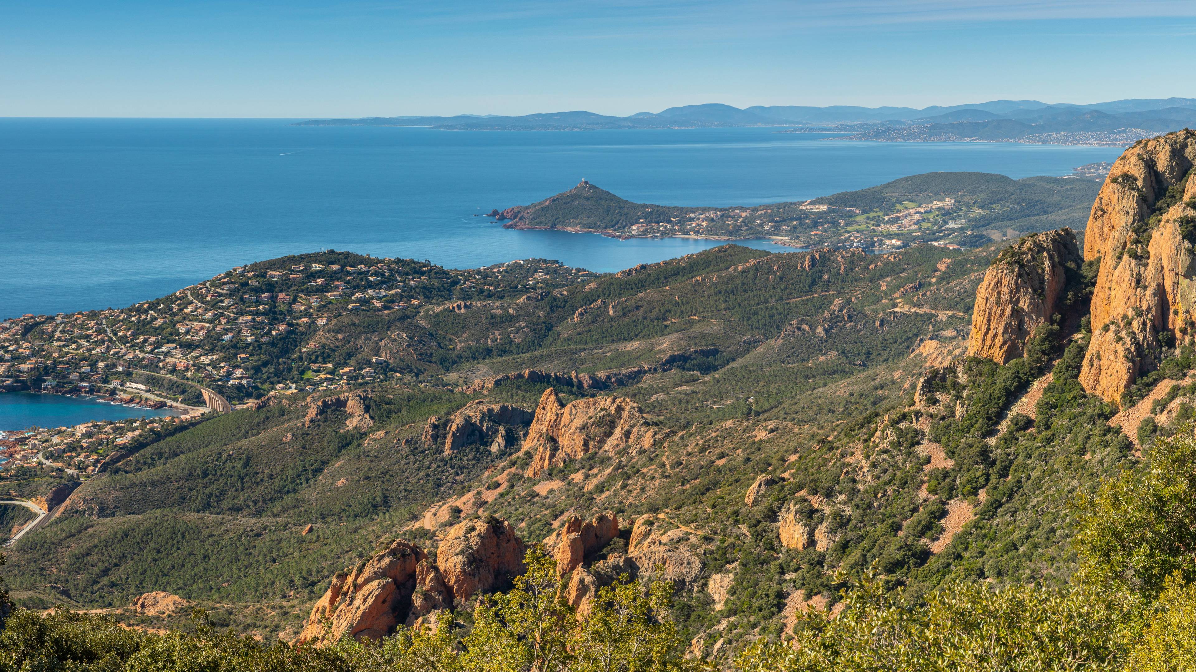
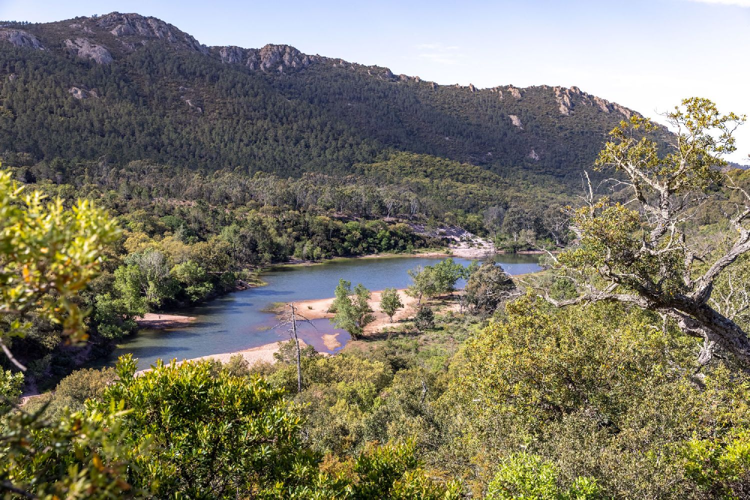
Round trip to Lac de l'Écureuil, which is now almost completely dry. However, the walk in the ravine offers very pretty landscapes, along a river surrounded by arid slopes.

Already more than 200,000 users!
Uphill
134m
Highest point
93m
Downhill
134m
Lowest point
19m
Route type
There and back
Download the map on your smartphone to save battery and rest assured to always keep access to the route, even without signal.
Includes IGN France and Swisstopo.
I indicate whether dogs are allowed or prohibited on this trail
All year
0 ratings
Also enjoy:

Already more than 200,000 users!