Uphill
676m
France > Provence-Alpes-Côte d'Azur > Alpes-Maritimes > Mercantour National Park
Length
8km
Duration
4h30min
Elev gain
676m
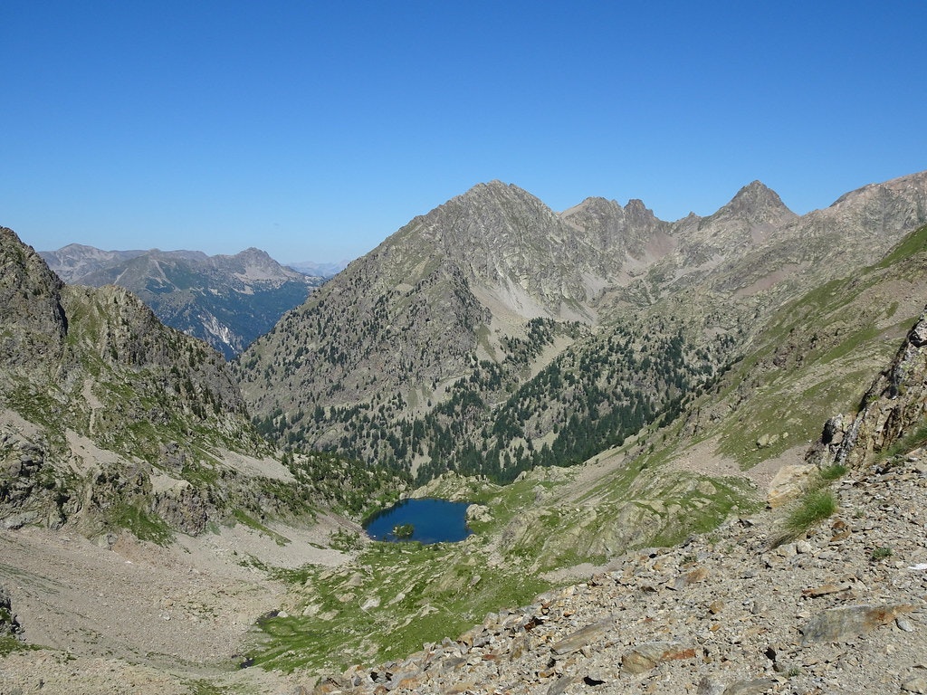
Hike in a mineral environment, suitable for observing ibex and chamois. Nice view of Trécolpas lake from the Ladres pass.

Already more than 200,000 users!
Uphill
676m
Highest point
2500m
Downhill
676m
Lowest point
1906m
Route type
Loop
Download the map on your smartphone to save battery and rest assured to always keep access to the route, even without signal.
Includes IGN France and Swisstopo.
0 ratings
Also enjoy:

Already more than 200,000 users!


